We are in the process of migrating all NASA Earth science data sites into Earthdata from now until end of 2026. Not all NASA Earth science data and resources will appear here until then. Thank you for your patience as we make this transition.
Read about the Web Unification Project
Terra Resources
Documents
| Name Sort descending | Description | File Type | Date Published | |
|---|---|---|---|---|
| MODIS Land Bands for Ocean Remote Sensing: Application to Chesapeake Bay (PDF) | MODIS Land Bands for Ocean Remote Sensing: Application to Chesapeake Bay | PDF (2.73 mb) | Nov. 2, 2006 | |
| MODIS Ocean Data Processing (PDF) | MODIS Ocean Data Processing | PDF (4.38 mb) | May 30, 2007 | |
| MODIS Ocean Data Processing (PPT) | MODIS Ocean Data Processing | PPT (15.82 mb) | Dec. 1, 2005 | |
| MODIS SST Processing and Support for GHRSST at OBPG | MODIS SST Processing and Support for GHRSST at OBPG | PDF (1.23 mb) | Nov. 28, 2005 | |
| MODIS SST Processing and Support for GHRSST at OBPG (PPT) | MODIS SST Processing and Support for GHRSST at OBPG (PPT) | PPT (1.4 mb) | Nov. 16, 2005 |
SHOWING 5 OF 60
Terra Learning Resources

Learn how MODIS data helped researchers assess the impact of pandemic-triggered lockdowns on air pollution in India.
Data in Action
Jan. 4, 2021

Discover how LP DAAC data supports long-term vegetation trend analysis in East Africa and live fuel moisture estimation in fire-prone shrublands of Spain.
Data in Action
Nov. 30, 2020

Discover how a NASA DEVELOP team used NASA Earth science remote sensing data to observe the impacts urban growth has had on the city of Huntsville, Alabama.
Data in Action
Nov. 17, 2020

This ARSET training covers the use of remote sensing in determining and explaining urban heat islands, and ways to mitigate the effects.
Training
Nov. 10-24, 2020

This ARSET training focuses on mapping and monitoring mangroves and how it aligns with UN Sustainable Development Goals (SDGs).
Training
Nov. 5-19, 2020

During this webinar we will introduce several of the NSIDC DAAC snow-focused NASA missions and data products, followed by a live demonstration teaching participants how to discover, access, and couple snow data across varying geospatial scales using Python.
Webinar
Nov. 4, 2020

This ARSET training covers how to access VIIRS data products, the differences between VIIRS and MODIS, and its air quality applications.
Training
Oct. 22, 2020

Get to know NASA's Land Processes Distributed Active Archive Center (LP DAAC) in this Tech Talk Webinar.
Webinar
Oct. 1, 2020
SHOWING 8 OF 231
Terra News
View All News
Filters
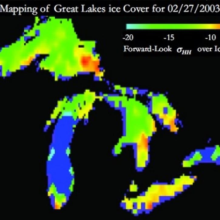
Understanding Great Lakes ice means enduring some tough conditions.
Feature Article
June 2, 2023

Image captured on May 29, 2023, by the MODIS instrument aboard the Terra satellite.
Worldview Image of the Week
June 1, 2023

Data from NASA’s Land Processes DAAC help Dr. Helen Poulos understand climate-induced change in the forests of the Southwestern U.S.
Data User Story
May 25, 2023

The May 23-25, 2023, online workshop will determine needs, evaluate current capabilities, identify gaps, and specify potential actions for NASA’s Terra, Aqua, and Aura mission data.
News
April 30, 2023

Data from NASA’s NSIDC DAAC help scientists like Dr. Fadji Z. Maina research hydrological change in High Mountain Asia.
Data User Story
April 27, 2023

The migration is part of NASA’s Earthdata Cloud Evolution, which gives users new ways to access NASA Earth science data.
News
April 14, 2023
AppEEARS allows users to subset data spatially, temporally, and by layer, reducing the amount of data they need to download.
Feature Article
April 3, 2023

Image of a three-day flood composite ending Mar 22, 2023, from the MODIS instruments aboard the Terra and Aqua satellites, overlaid on a true color corrected reflectance image.
Worldview Image of the Week
March 22, 2023
SHOWING 8 OF 448
Frequently Asked Questions
Earthdata Forum
Our online forum provides a space for users to browse thousands of FAQs about research needs, data, and data applications. You can also submit new questions for our experts to answer.
Submit Questions to Earthdata Forumand View Expert Responses