We are in the process of migrating all NASA Earth science data sites into Earthdata from now until end of 2026. Not all NASA Earth science data and resources will appear here until then. Thank you for your patience as we make this transition.
Read about the Web Unification Project
Terra Resources
Documents
| Name Sort descending | Description | File Type | Date Published | |
|---|---|---|---|---|
| MISR VBBE Images | Collection of MISR images captured for VBBE field campaign. The Virtual Biomass Burning Experiment (VBBE) was an aerosol experiment which took place in south east Asia during August and September 2007 | PDF (1.62 mb) | Aug. 28, 2024 | |
| MISR_RADCAL | Calibration process of MISR Radiometric Calibration as of Jan. 10, 2018 | PDF (2.41 mb) | Jan. 10, 2018 | |
| MODIS and Ocean Color Discipline Processing (PDF) | MODIS and Ocean Color Discipline Processing | PDF (4.55 mb) | Aug. 16, 2005 | |
| MODIS and Ocean Color Discipline Processing (PPT) | MODIS and Ocean Color Discipline Processing | PPT (1.84 mb) | Dec. 21, 2000 | |
| MODIS Land Bands for Ocean Remote Sensing: Application to Chesapeake Bay | MODIS Land Bands for Ocean Remote Sensing: Application to Chesapeake Bay | PPT (3.47 mb) | Dec. 1, 2005 |
SHOWING 5 OF 60
Terra Learning Resources

This ARSET training introduces how NASA earth observations can contribute to a greater understanding of energy management applications.
Training
June 1-22, 2021
NASA Earth science data are a key component in meeting the 17 Sustainable Development Goals (SDGs) to build a better world for people and our planet.
Data Basics
May 18, 2021

Esta capacitación de ARSET cubre el uso de observaciones terrestres para el monitoreo operativo de incendios.
Training
May 11-27, 2021
This ARSET training provides lectures and case studies focused on the use of Earth observations for operational fire monitoring.
Training
May 11-27, 2021

Read highlights of three publications that detail how NASA Earth observation data informs forest structure mapping, disease vector tracking, and mineral identification.
Data in Action
April 26, 2021

Satellite data reveals the oceanic response to the record-setting season.
Data in Action
March 25, 2021

This ARSET training introduces remote sensing observations for monitoring the water level of lakes.
Training
Feb. 9-23, 2021

The webinar introduces satellite remote sensing, radiance conversion, image classification, and geophysical product creation, and more.
Webinar
Jan. 29, 2021
SHOWING 8 OF 231
Terra News
View All News
Filters

NASA Earth science data help scientists like Dr. James G. Allen develop processes for better satellite retrievals of ocean parameters.
Data User Story
Nov. 30, 2023

MISR L1 and L2 Product Generation Resumes with New Data Product Format
News
Nov. 6, 2023

NASA Earth science data help Dr. Gonzalo González Abad produce retrievals of formaldehyde and other atmospheric trace gases.
Data User Story
Oct. 26, 2023
A summary of datasets, products, and resources released by NASA’s Distributed Active Archive Centers (DAACs) in September 2023.
News
Sept. 29, 2023
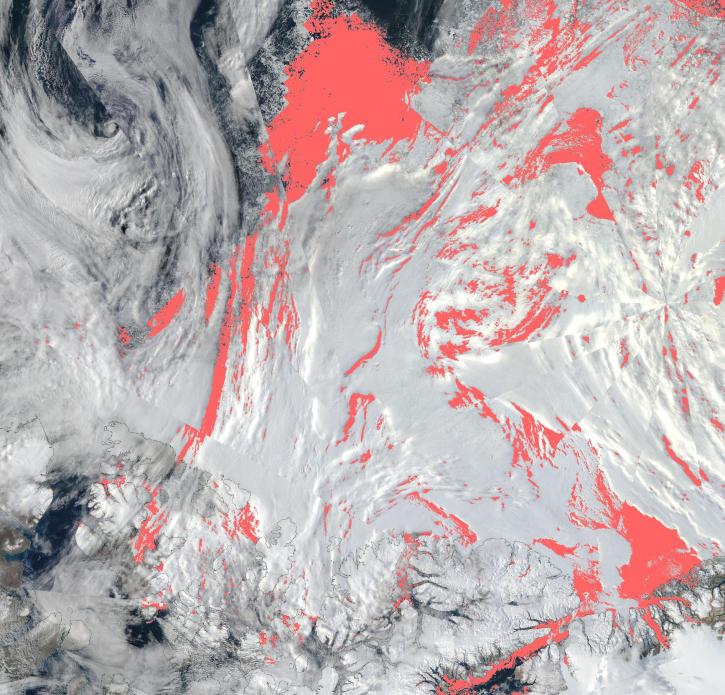
View a list of the layers that now show previously hidden pixel classifications.
Blog
Sept. 12, 2023

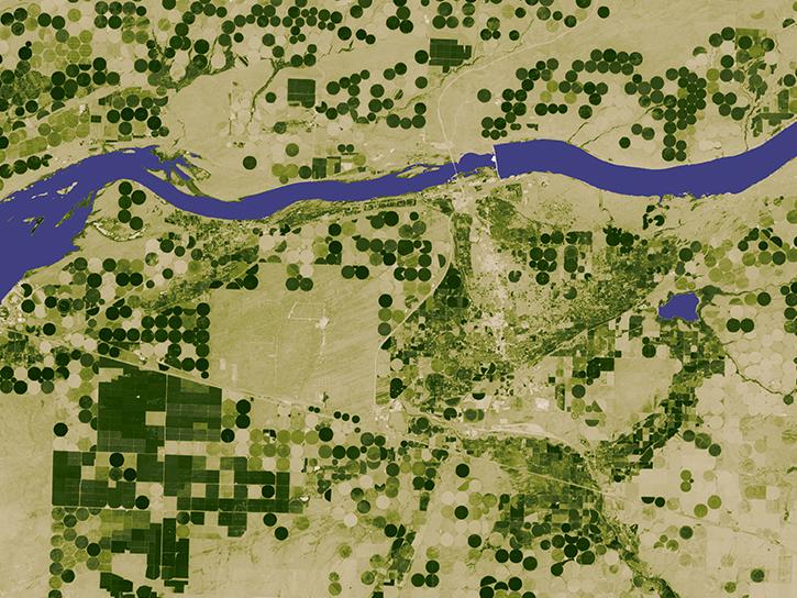
Image captured July 26, 2023, by the MODIS instrument aboard NASA’s Terra satellite.
Worldview Image of the Week
July 27, 2023

NASA Earth science data help scientists like Dr. Dan Runfola estimate the socioeconomic status of individuals around the globe.
Data User Story
July 27, 2023

Terrestrial Ecology Subsetting and Visualization Services (TESViS) supports ecological field research in easy-to-use formats.
Feature Article
June 30, 2023
SHOWING 8 OF 449
Frequently Asked Questions
Earthdata Forum
Our online forum provides a space for users to browse thousands of FAQs about research needs, data, and data applications. You can also submit new questions for our experts to answer.
Submit Questions to Earthdata Forumand View Expert Responses