
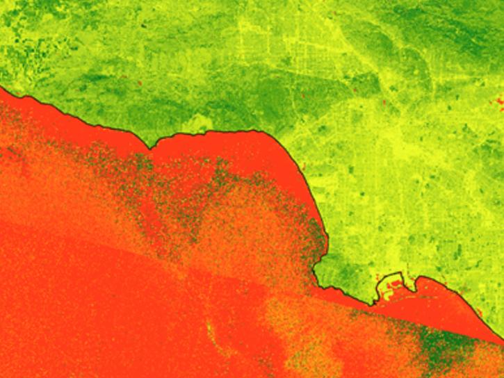
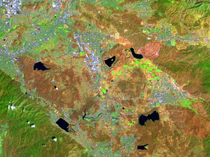
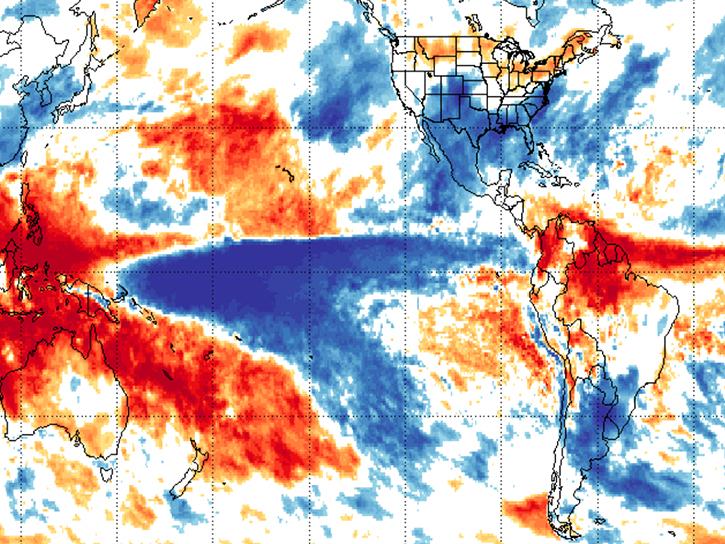
The vision of NASA's Earth Science Data Systems (ESDS) Program is to identify and deliver high value Earth science data in formats compliant and compatible with GIS standards; to ensure data are interactive, interoperable, available, and GIS-enabled through primary GIS platforms; and to provide the maximum impact to research, education, and public user communities requiring data visualization and spatial analysis. Below, learn how NASA is working to enable this mission.
Earthdata Forum is down due to unplanned maintenance. Please contact earthdata-support@nasa.gov with questions.
See the alert