We are in the process of migrating all NASA Earth science data sites into Earthdata from now until end of 2026. Not all NASA Earth science data and resources will appear here until then. Thank you for your patience as we make this transition.
Read about the Web Unification Project

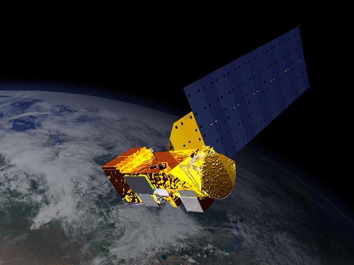
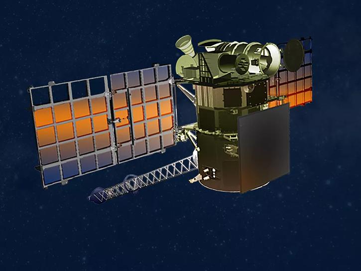
The ADEOS-II platform provided data for climate science, meteorology, and fishery.
7 datasets

The Advanced Land Observing Satellite (ALOS) was developed to contribute to the fields of mapping, precise regional land-coverage observation, disaster monitoring, and resource surveying.
33 datasets
More than two decades after launch, Aqua is providing essential data about Earth's water cycle, from clouds to soil moisture to sea ice.
930 datasets

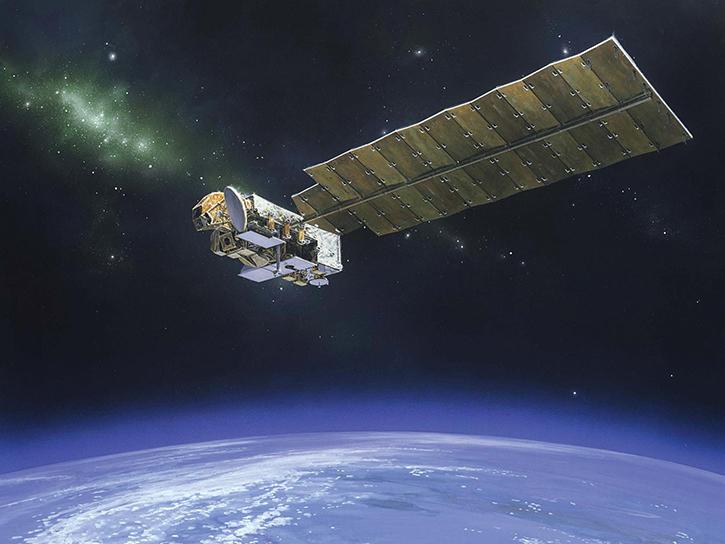
The Aquarius/SAC-D mission was the first to have the primary goal of measuring sea surface salinity from space.
195 datasets
NASA's Aura platform detects the unique spectral signatures of trace gases in the atmosphere.
402 datasets
CALIPSO provides insights on the effects of clouds and aerosols (airborne particles) on Earth's climate.
87 datasets
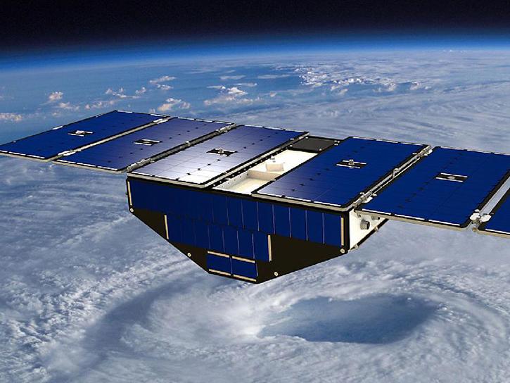
CYGNSS uses eight micro-satellites to measure wind speeds over Earth's oceans, enhancing scientists' ability to understand and predict hurricanes.
46 datasets
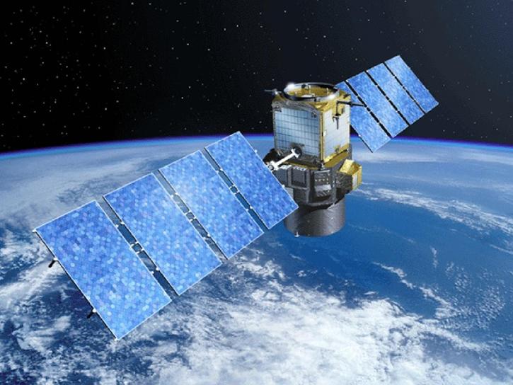
The Deep Space Climate Observatory (DSCOVR) makes it possible to monitor solar wind activity in real time.
30 datasets
SHOWING 8 OF 59