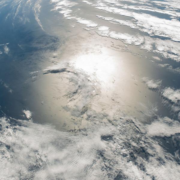
Earth's atmosphere is a layer of mixed gases approximately 60 miles high that provides the air we breathe, shields us from dangerous levels of ultraviolet light from the sun, and traps enough heat to maintain a livable environment. NASA's satellites make atmospheric measurements that scientists use to study its chemistry and air quality, weather, and climate change.

We have thousands of data collections covering topics such as aerosol optical depth, aerosol indexes, chlorine dioxide levels, primary forcing measurements, irradiance products, atmospheric temperatures, binned water vapor mixing ratios, surface turbulent fluxes, rainfall estimates as well as hurricane and severe storm measurements.

Get Atmosphere Data

Access a range of datasets and data tools to further your atmospheric research.

Discover and Visualize Atmosphere Data
NASA has developed several tools for discovering and visualizing atmosphere data
Image
image of clouds in Earth's atmosphere

Latest Atmosphere News

2 MIN READ
A satellite captured multiple ways of viewing the ash and sulfur dioxide emissions in early September 2026.
Worldview Image of the Week
1 MIN READ
Wildfires are burning across Indonesia - affecting the islands of Sumatra, Kalimantan, Sulawesi, Java, and Papua and causing poor air quality across the country.
Worldview Image of the Week

Join Our Community of NASA Data Users

While NASA data are openly available without restriction, an Earthdata Login is required to download data and to use some tools with full functionality.

Learn About the Benefits of Earthdata Login

Get Help

QUESTIONS & SUPPORT

Have a question?

Get help with NASA Earth science data, datasets, tools, services, and metadata on the Earthdata Forum. Experienced staff in the data user community review and answer questions.

Get help on Earthdata Forum
Earthdata
Forum