We are in the process of migrating all NASA Earth science data sites into Earthdata from now until end of 2026. Not all NASA Earth science data and resources will appear here until then. Thank you for your patience as we make this transition.
Read about the Web Unification Project
ISS Resources
ISS Learning Resources
Join us to learn how the new International Space Station (ISS) Lightning Imaging Sensor (LIS) data can be used within Python, GIS and other applications to study lightning that occurred during the 2017 hurricane season.
Webinar
April 20, 2022

Read highlights of three publications that detail how NASA Earth observation data are used to map wildfire fuel loads, analyze volcanic ash composition, and improve soil respiration models in agricultural systems.
Data in Action
March 15, 2022

Learn how researchers used NASA data to map Amazon carbon flux, mosquito disease transmission zones, and volcanic activity patterns for environmental monitoring and risk assessment.
Data in Action
Feb. 3, 2022

Learn about the NASA DEVELOP internship projects that used data distributed by the Land Processes Distributed Active Archive Center (LP DAAC) in spring 2021.
StoryMap
Dec. 3, 2021

Explore how scientists use NASA Earth observation data to monitor Arctic lake temperatures, map urban heat variations, and track endangered Shoebill movements across three diverse ecosystems.
Data in Action
Nov. 8, 2021

Read highlights of three publications that detail how NASA Earth observation data informs earthquake prediction, the effects of wildfires on vegetation, and the impact of agriculture on African birds.
Data in Action
July 19, 2021

LANCE near real-time products enable the management of ongoing events; standard data products are heavily processed and intended for scientific research.
Data Basics
July 15, 2021

This ARSET training introduces how NASA earth observations can contribute to a greater understanding of energy management applications.
Training
June 1-22, 2021
SHOWING 8 OF 74
ISS News
View All News
Filters
The latest dataset from the GEDI mission provides gridded estimates of aboveground biomass density at greater accuracy and resolution than previously available.
Feature Article
May 19, 2022
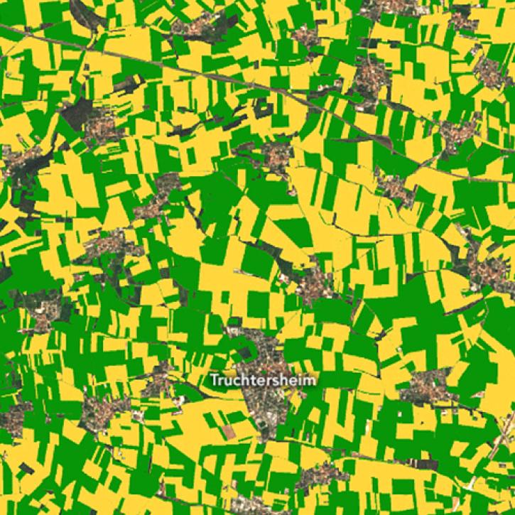
New research uses 3D lidar profiles of Earth's surface to map where corn is being grown.
Feature Article
May 18, 2022
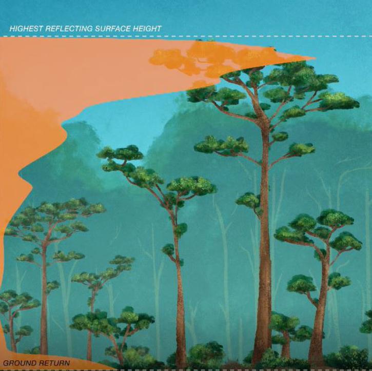
New dataset provides the first high-resolution 3D aboveground biomass density estimates for tropical and temperate forests around the globe.
Feature Article
Jan. 25, 2022

Find EOSDIS dataset and data tool news, top stories, featured data images, webinars, links to new learning resources, data recipes, and Data User Profiles.
News
July 2, 2021
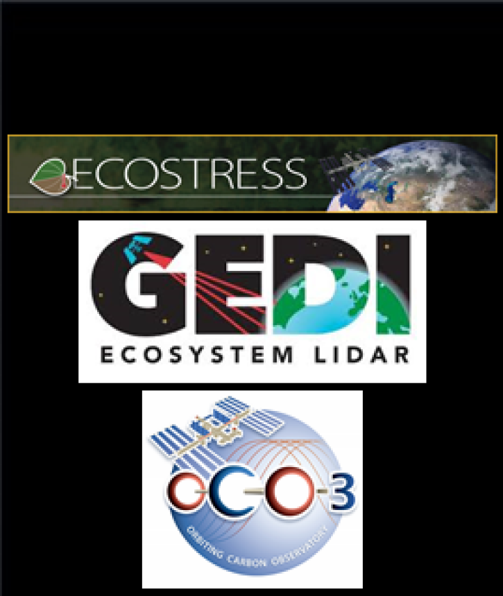
The ECOSTRESS, GEDI, and OCO-3 Earth observing missions aboard the International Space Station (ISS) will help scientists better understand Earth systems.
Feature Article
April 22, 2021
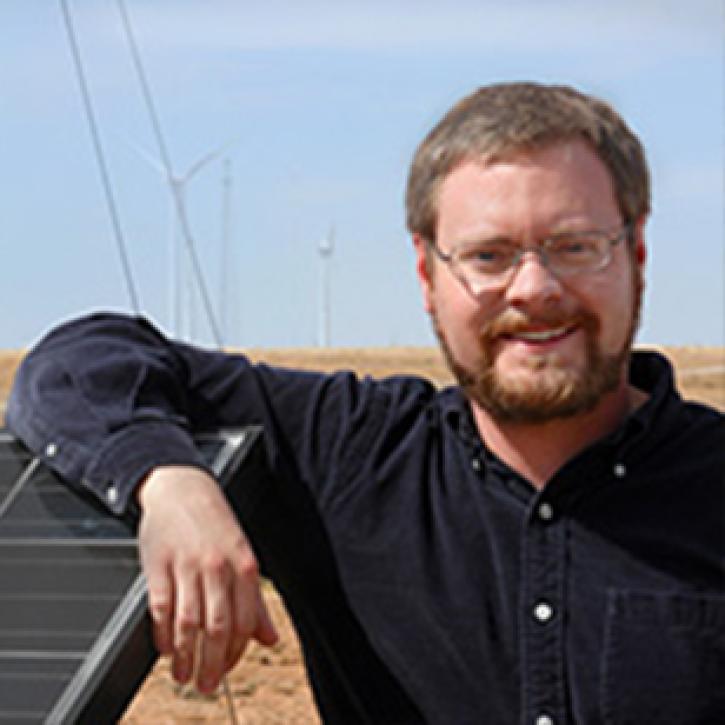
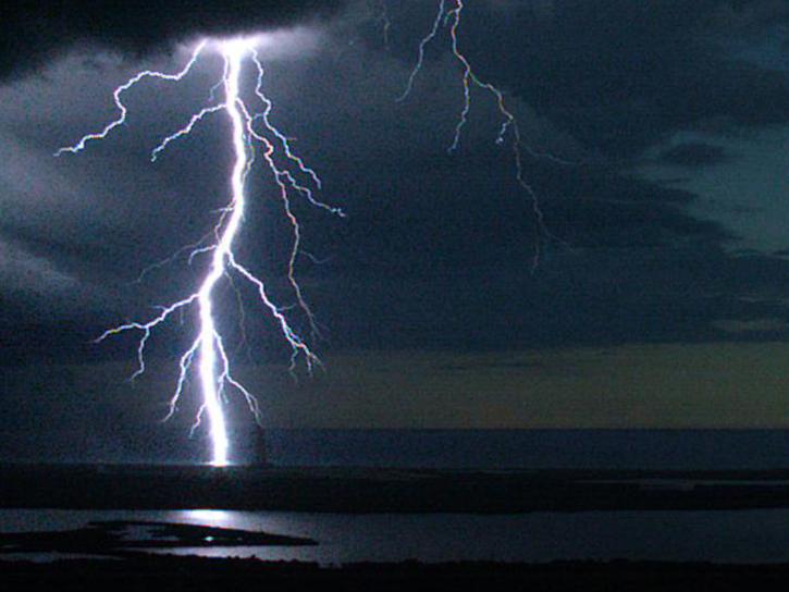
Who Uses NASA Earth Science Data? Eric Bruning, to study the relationships of storm electrification and lightning to the thermodynamics, microphysics, kinematics, and dynamics of thunderstorms.
Data User Story
April 22, 2021

Who uses NASA Earth science data? Dr. Nancy Glenn, to study dryland ecosystems.
Data User Story
April 22, 2021

Who uses NASA Earth science data? Dr. Larry O’Neill, to explore the effects of air-sea interactions on weather, ocean, and climate.
Data User Story
April 22, 2021
SHOWING 8 OF 80
Frequently Asked Questions
Earthdata Forum
Our online forum provides a space for users to browse thousands of FAQs about research needs, data, and data applications. You can also submit new questions for our experts to answer.
Submit Questions to Earthdata Forumand View Expert Responses