We are in the process of migrating all NASA Earth science data sites into Earthdata from now until end of 2026. Not all NASA Earth science data and resources will appear here until then. Thank you for your patience as we make this transition.
Read about the Web Unification Project
ISS Resources
ISS Learning Resources

This ARSET training addresses how to use remote sensing data for agriculture monitoring, specifically drought and crop monitoring.
Training
April 14 - May 5, 2020

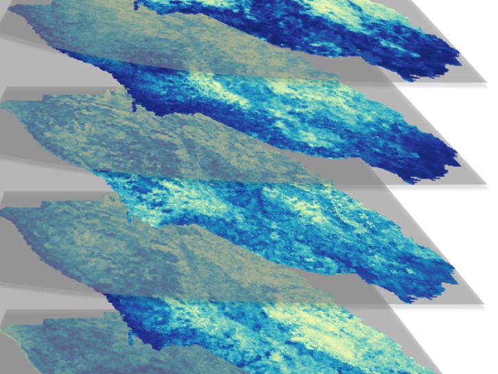
In Spring 2019 DEVELOP researchers used VIIRS and other instrument data to create models that provide fine details on drought conditions in Iowa.
Data in Action
April 13, 2020
Using simulated Global Ecosystem Dynamics Investigation (GEDI) data, a science team predicted bird occurrence probability in California.
Data in Action
March 10, 2020
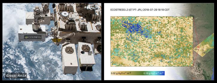
NASA's ECOSTRESS Mission studies how plants use water by measuring their temperature from space. Join us to learn more about ECOSTRESS mission measurements, data and tools!
Webinar
Feb. 18, 2020

During this webinar we will provide answers to commonly asked questions about NASA land processes data, services and tools, and show you how to navigate the new LP DAAC website to discover data resources.
Webinar
Jan. 15, 2020

This ARSET training introduces the applications of ECOSTRESS for crop health, volcanoes, urban heat, wildland fires, coastal systems, and much more.
Training
Nov. 20, 2019

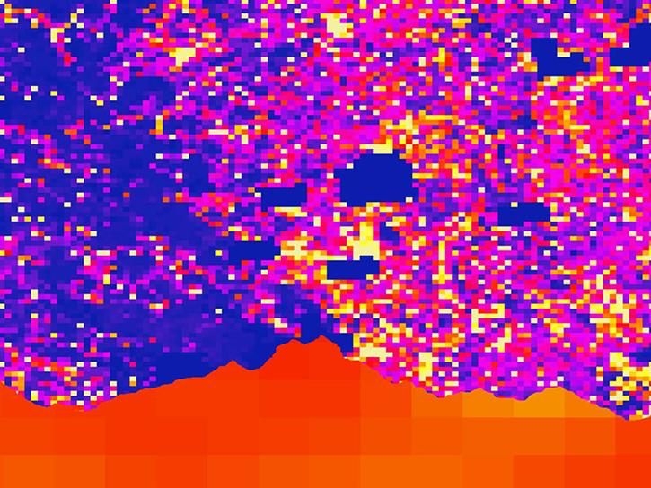
Europe experienced a heat wave in 2019, highlighting the dangers of urban heat islands and the potential of ECOsystem Spaceborne Thermal Radiometer (ECOSTRESS) data to identify at-risk areas.
Data in Action
Aug. 21, 2019
Satellite data shows that communities in western Nepal and northern Bangladesh are at an increased risk for lightning related injury.
Data in Action
June 10, 2019
SHOWING 8 OF 75
ISS News
View All News
Filters
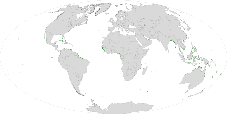
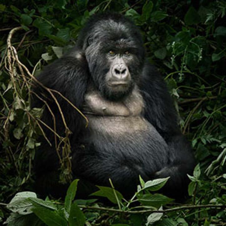
Researchers use remote sensing to measure mangrove forest extent and tree height to inform sustainable management of these ecosystems.
Feature Article
March 19, 2021
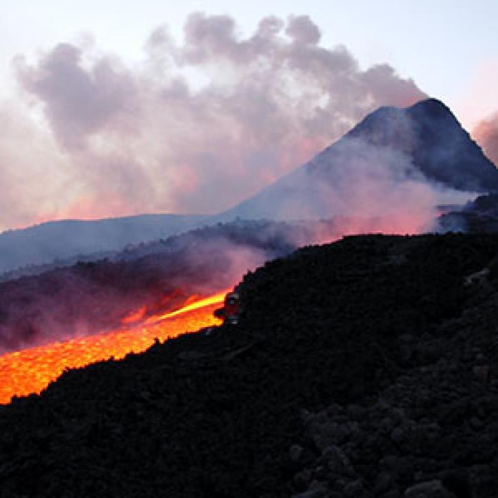
Tracking a volcanic plume reaches new heights, faster.
Feature Article
March 1, 2021

Invasive species cost the U.S. economy approximately $120 billion a year and disrupt the dynamics of ecosystems. Researchers are increasingly using remote sensing to map where invasive species are and where they could spread in order to minimize their damage.
Feature Article
Feb. 25, 2021

Who uses NASA Earth science data? Katherine Pitts, to study the impacts of climate change and analyze remotely-sensed geophysical data.
Data User Story
Dec. 22, 2020

Who uses NASA Earth science data? Dr. Michael Dietze, to improve ecological models through the integration of remotely-sensed data.
Data User Story
Dec. 22, 2020

NASA’s Land, Atmosphere Near Real-time Capability for Earth observations, better known as LANCE, is 10 years old. Here’s a look at 10 LANCE milestones over the past decade.
Feature Article
Nov. 4, 2020
NASA’s ASDC will be the home for more than a half-dozen new atmospheric data products from the upcoming SAGE III mission.
News
Nov. 4, 2020
SHOWING 8 OF 80
Frequently Asked Questions
Earthdata Forum
Our online forum provides a space for users to browse thousands of FAQs about research needs, data, and data applications. You can also submit new questions for our experts to answer.
Submit Questions to Earthdata Forumand View Expert Responses