We are in the process of migrating all NASA Earth science data sites into Earthdata from now until end of 2026. Not all NASA Earth science data and resources will appear here until then. Thank you for your patience as we make this transition.
Read about the Web Unification Project
ISS Resources
ISS Learning Resources
In this three-part tutorial series, learn how to use Python to process EMIT reflectance data.
Tutorial
June 14, 2023
Join us June 28 at 2 p.m., EDT [UTC-4], to learn about NASA's Earth Surface Mineral Dust Source Investigation (EMIT) measurements and datasets along with how to discover, access, and work with EMIT data.
Webinar
June 8, 2023
Join us May 3 at 2 p.m., EDT [UTC -4], to learn how to use the Lightning Dashboard at NASA's Global Hydrometeorology Resource Center Distributed Active Archive Center (GHRC DAAC) to visualize and analyze NASA's lightning data.
Webinar
April 26, 2023

The GitHub repository, hosted by NASA's Land Processes Distributed Active Archive Center, provides a range of materials for using LP DAAC data and tools.
Tutorial
April 21, 2023
Learn to access, visualize, and analyze EMIT L2A surface reflectance data using Python.
Tutorial
Dec. 5, 2022

Read publication highlights that detail how ECOSTRESS data reveals water use efficiency patterns, GEDI enables precise forest carbon mapping, and moisture measurements improve wildfire prediction and management.
Data in Action
Aug. 25, 2022

Join us for an introduction to GEDI Level 3 and Level 4 data products and to learn how to discover, access, visualize, and analyze the data.
Webinar
June 9, 2022

This ARSET training focuses on introducing evapotranspiration (ET) products derived from remote sensing observations.
Training
June 1-15, 2022
SHOWING 8 OF 74
ISS News
View All News
Filters
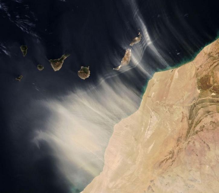
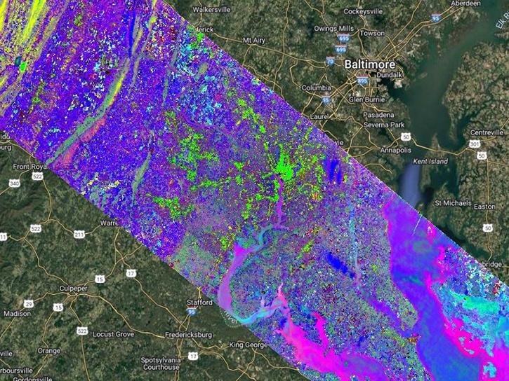
Data from the EMIT instrument help scientists better understand the role mineral dust plays in heating and cooling the atmosphere.
Feature Article
May 26, 2023
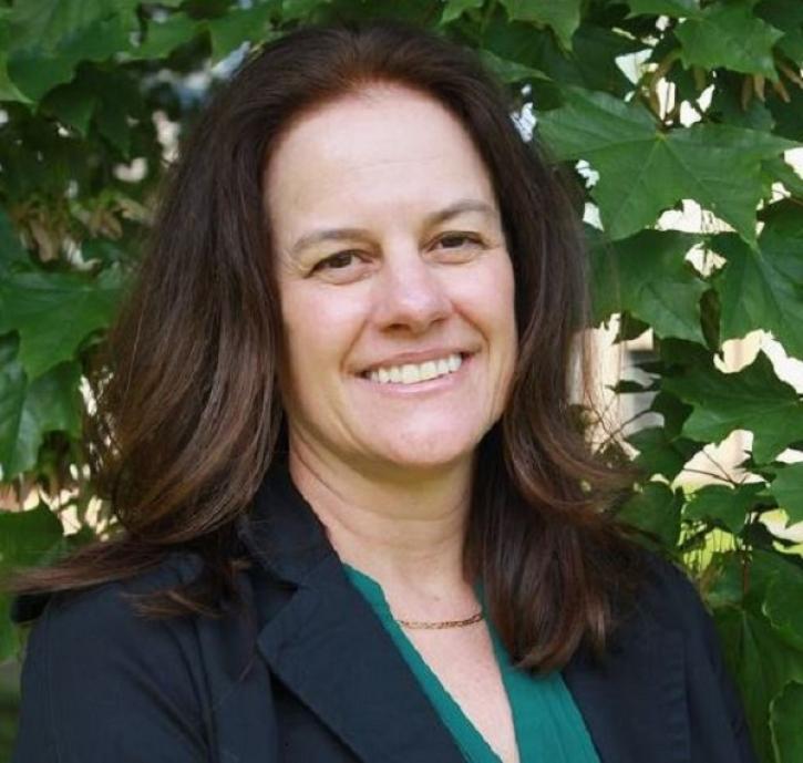
Data from NASA’s Land Processes DAAC help Dr. Helen Poulos understand climate-induced change in the forests of the Southwestern U.S.
Data User Story
May 25, 2023

ROSES-2023 solicits proposals for membership on the NASA EMIT Science and Applications Team.
News
April 17, 2023
AppEEARS allows users to subset data spatially, temporally, and by layer, reducing the amount of data they need to download.
Feature Article
April 3, 2023
The GEDI instrument has been moved to an alternate location on the International Space Station for a period of 13 to 18 months.
News
March 17, 2023

NASA’s GHRC DAAC helps scientists like Dr. Timothy Lang use lightning data to better understand the processes in convective storms.
Data User Story
Nov. 21, 2022

NASA's EMIT instrument captured its first light image as it passed over Western Australia on July 27, 2022.
News
Aug. 4, 2022
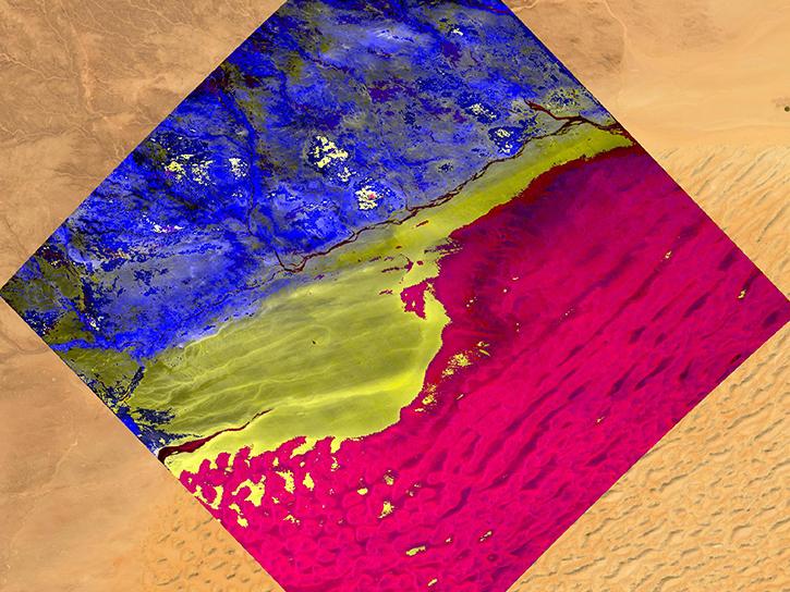
The Earth Surface Mineral Dust Source Investigation (EMIT) mission will measure surface mineralogy and mineral dust of Earth's arid dust source regions.
News
July 18, 2022
SHOWING 8 OF 80
Frequently Asked Questions
Earthdata Forum
Our online forum provides a space for users to browse thousands of FAQs about research needs, data, and data applications. You can also submit new questions for our experts to answer.
Submit Questions to Earthdata Forumand View Expert Responses