We are in the process of migrating all NASA Earth science data sites into Earthdata from now until end of 2026. Not all NASA Earth science data and resources will appear here until then. Thank you for your patience as we make this transition.
Read about the Web Unification Project
Filters
Learn more about the NASA Commercial Satellite Data Acquisition (CSDA) program vendor BlackSky and how to discover, access, and work with BlackSky data.
Webinar
May 6, 2025
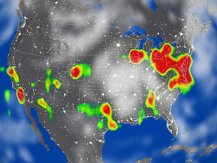
After 25 years, the Measurements Of Pollution In The Troposphere (MOPITT) instrument ceased observing carbon monoxide (CO) in the atmosphere on Feb. 1, 2025.
News
May 6, 2025
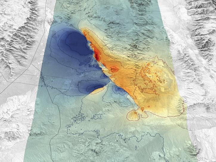
Synthetic aperture radar data from the Japanese Aerospace Exploration Agency offers amazing detail and compatibility with upcoming radar missions.
News
May 5, 2025
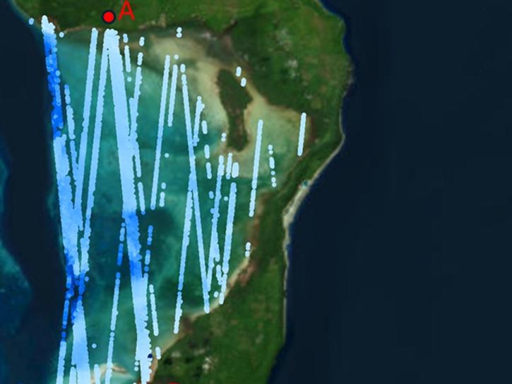
ATL24, a new space-based lidar product, provides bathymetry data that can be used to characterize nearshore habitats and create safer maritime transportation channels.
News
May 2, 2025
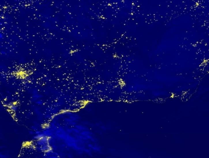
Image captured April 29, 2025, by the VIIRS instrument aboard the joint NASA/NOAA NOAA-20 platform.
Worldview Image of the Week
May 1, 2025
Learn how to establish and activate an Earthdata profile.
Tutorial
May 1, 2025
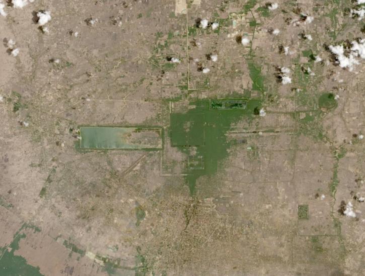
Image captured on April 12, 2025, from the MSI instrument aboard ESA's Sentinel-2C satellite.
Worldview Image of the Week
April 25, 2025

SHOWING 8 OF 2379