We are in the process of migrating all NASA Earth science data sites into Earthdata from now until end of 2026. Not all NASA Earth science data and resources will appear here until then. Thank you for your patience as we make this transition.
Read about the Web Unification Project
Filters
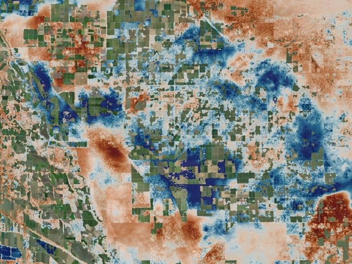
The OPERA Level 3 displacement products provide detailed information on land surface changes, and include the first open-access InSAR time-series displacement products available over North America.
News
May 22, 2025
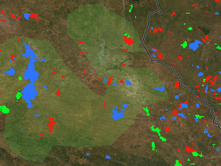
The FIRMS burned area user interface allows users to simultaneously display and compare individual monthly burned area products as well as monthly products aggregated into annual datasets.
Blog
May 20, 2025
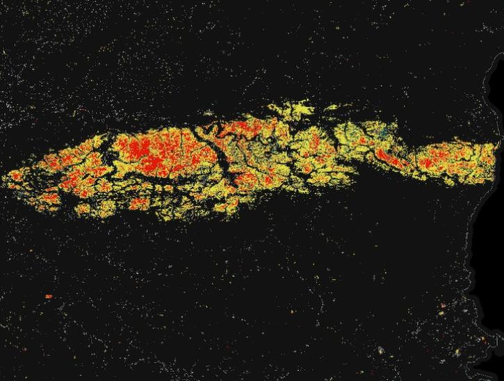
Image for May 8, 2025, derived from OPERA's Harmonized Landsat Sentinel-2 Land Surface Disturbance data.
Worldview Image of the Week
May 15, 2025

Join us on Thursday, May 29, to learn about the NASA JPL OPERA Surface Displacement (OPERA-DISP) dataset and how to access and explore the data using ASF DAAC's Displacement Portal.
Webinar
May 14, 2025
A summary of datasets, products, and resources released by NASA’s Distributed Active Archive Centers (DAACs) in April 2025.
News
May 13, 2025

Researchers taught the SatVision Top-of-Atmosphere foundation model to recognize MODIS imagery features.
Feature Article
May 9, 2025
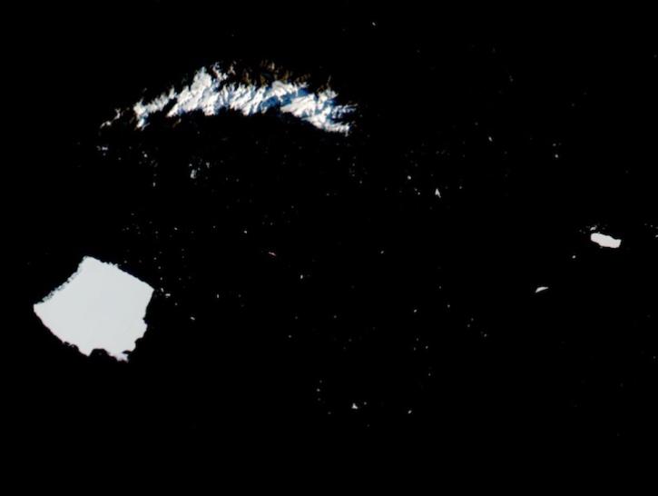
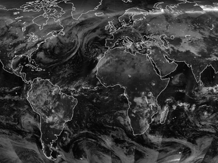
Image captured on May 3, 2025, by the VIIRS instrument aboard the joint NASA/NOAA NOAA-21 platform.
Worldview Image of the Week
May 8, 2025
Access Sea Surface Salinity with Sea Ice Mask, a NASA Satellite Needs Working Group solution, to discern salinity values close to the sea ice edge.
News
May 7, 2025
SHOWING 8 OF 2379