We are in the process of migrating all NASA Earth science data sites into Earthdata from now until end of 2026. Not all NASA Earth science data and resources will appear here until then. Thank you for your patience as we make this transition.
Read about the Web Unification Project
Filters

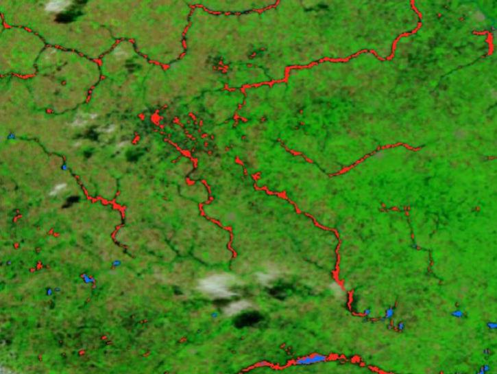
Annual prescribed burns are crucial for improving and maintaining pasture and crop land health, and remote sensing data provides near real-time information on location and air quality.
News
June 6, 2025
Agricultural burning in Kansas produces smoky skies and healthy crops.
Data in Action
June 6, 2025
The new VIIRS near real-time product is already in use, and users are encouraged to explore this replacement option for MODIS-based flood products.
Blog
June 2, 2025
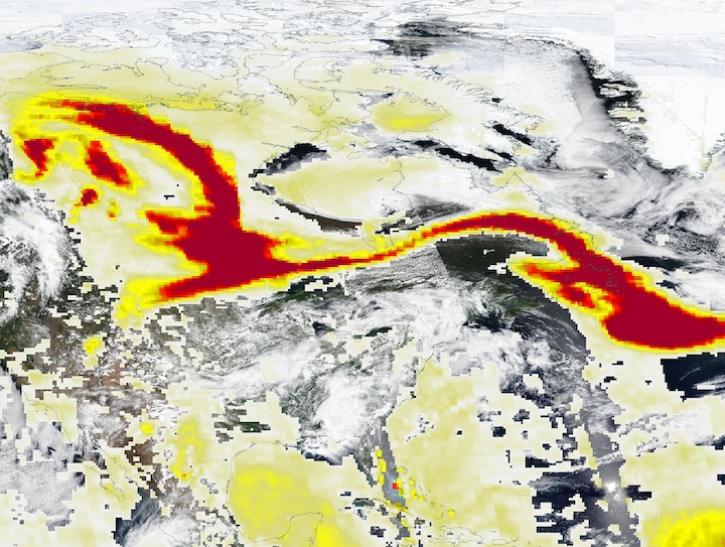
Image captured May 29, 2025, by the VIIRS and OMPS instruments aboard the joint NASA/NOAA Suomi NPP platform.
Worldview Image of the Week
May 30, 2025
Researchers used VIIRS Day/Night Band imagery to identify and differentiate between nighttime lights signals and light contamination from aurorae.
News
May 30, 2025

A comparison of aurora forecasts with actual satellite observations suggests VIIRS DNB data can enhance space weather prediction efforts.
Data in Action
May 30, 2025
In collaboration with the Commercial Satellite Data Acquisition program, NASA’s support to the Satellite Needs Working Group enhances access to commercial data in Earthdata Search.
News
May 28, 2025
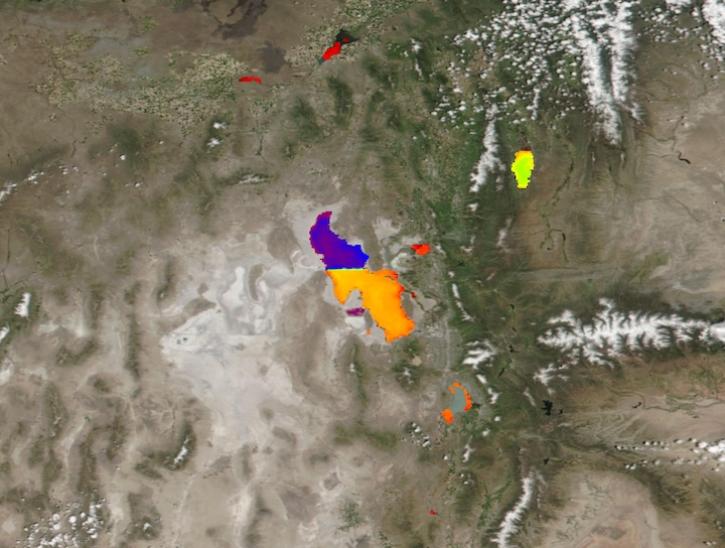
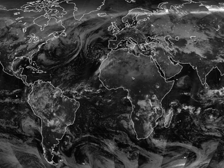
Image captured May 21, 2025, by the VIIRS instrument aboard the joint NASA/NOAA Suomi NPP platform.
Worldview Image of the Week
May 22, 2025
SHOWING 8 OF 2379