Delivery of Suomi National Polar-orbiting Partnership (Suomi NPP) satellite data products will cease on November 1, 2026. Data users should transition now to alternative products from NOAA-21 and NOAA-20.
Suomi NPP data announcement
Filters
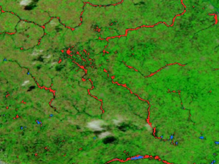
The new VIIRS near real-time product is already in use, and users are encouraged to explore this replacement option for MODIS-based flood products.
Blog
June 2, 2025
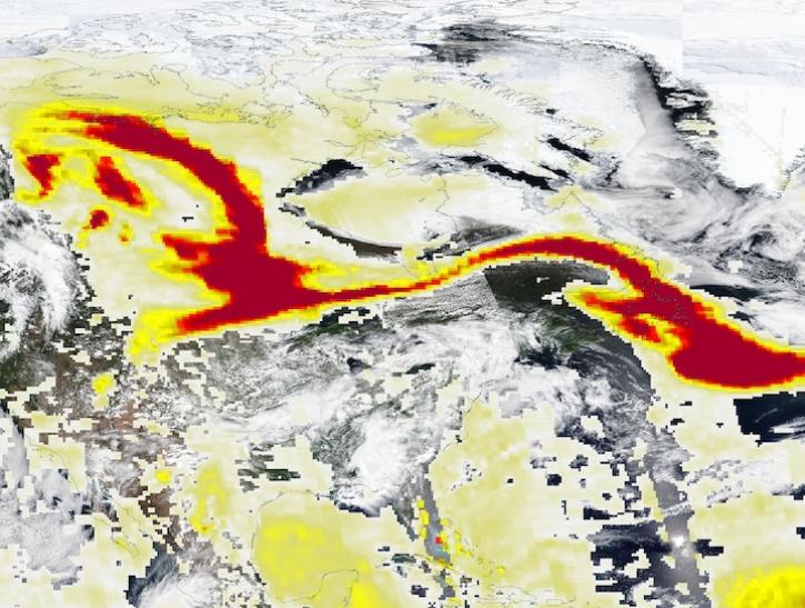
Image captured May 29, 2025, by the VIIRS and OMPS instruments aboard the joint NASA/NOAA Suomi NPP platform.
Worldview Image of the Week
May 30, 2025
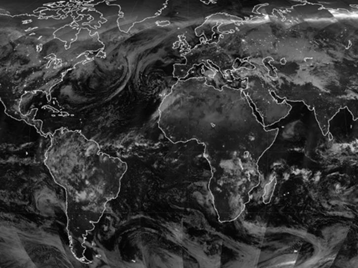
Researchers used VIIRS Day/Night Band imagery to identify and differentiate between nighttime lights signals and light contamination from aurorae.
News
May 30, 2025
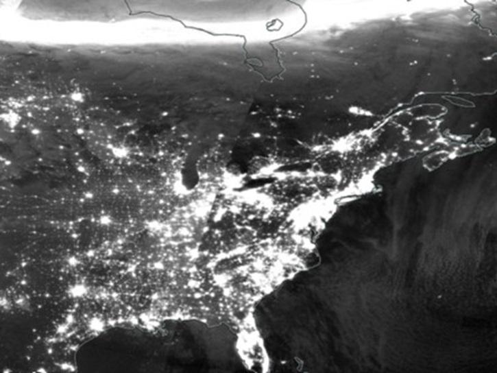
A comparison of aurora forecasts with actual satellite observations suggests VIIRS DNB data can enhance space weather prediction efforts.
Data in Action
May 30, 2025
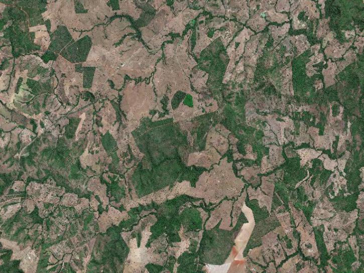
In collaboration with the Commercial Satellite Data Acquisition program, NASA’s support to the Satellite Needs Working Group enhances access to commercial data in Earthdata Search.
News
May 28, 2025
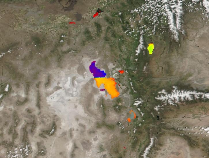
Image captured May 21, 2025, by the VIIRS instrument aboard the joint NASA/NOAA Suomi NPP platform.
Worldview Image of the Week
May 22, 2025
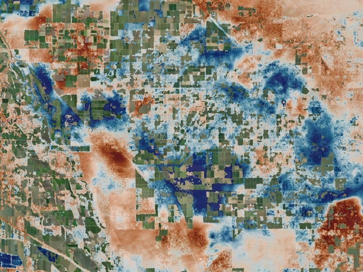
The OPERA Level 3 displacement products provide detailed information on land surface changes, and include the first open-access InSAR time-series displacement products available over North America.
News
May 22, 2025
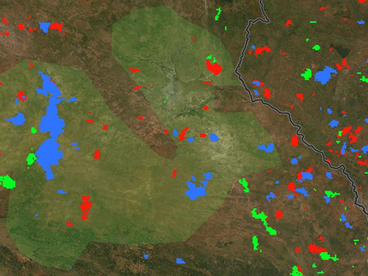
The FIRMS burned area user interface allows users to simultaneously display and compare individual monthly burned area products as well as monthly products aggregated into annual datasets.
Blog
May 20, 2025
SHOWING 8 OF 2411