We are in the process of migrating all NASA Earth science data sites into Earthdata from now until end of 2026. Not all NASA Earth science data and resources will appear here until then. Thank you for your patience as we make this transition.
Read about the Web Unification Project
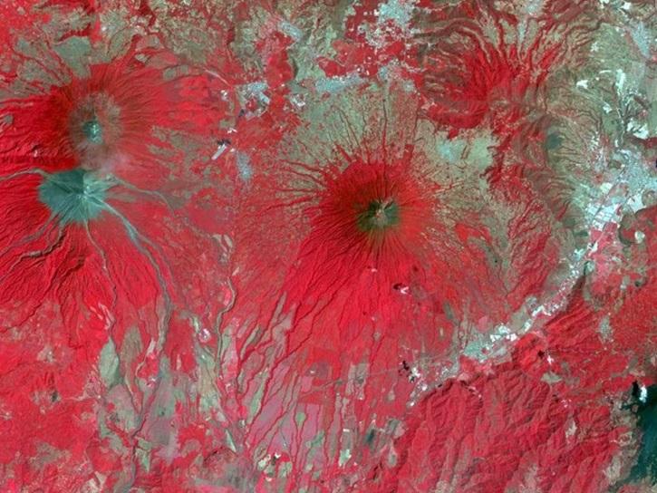
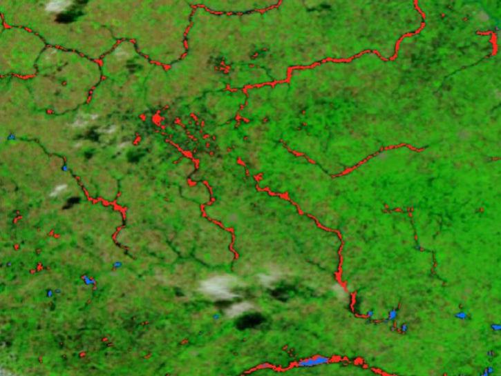
Terra Resources
Documents
| Name Sort descending | Description | File Type | Date Published | |
|---|---|---|---|---|
| Data Products Specifications for the MISR Level 2 Classifiers Product | Data Products Specifications for the MISR Level 2 Classifiers Product | PDF (1.01 mb) | June 25, 2014 | |
| Data Products Specifications for the MISR Cloud Fraction by Altitude Product | The DPS_CFbA.pdf is an earlier version of the JPL Data Products Specification document (JPL D-92238, dated September 4, 2014) that describes the format and data fields of the MISR Level 3 Cloud Fraction by Altitude (CFbA) product, which reports the frequency of cloud occurrence in 500 m cloud top height bins on a global 0.5° × 0.5° grid, including additional fields such as nearest-neighbor interpolated cloud fractions and their standard deviations. | PDF (386.86 kb) | Sept. 4, 2014 | |
| Data Products Specifications for the MISR Cloud Fraction by Altitude Product Revision B | The DPS-CFbA.cmm10_24July2019.pdf is a Data Products Specification document from JPL that describes the format and contents of the MISR Level 3 Cloud Fraction by Altitude (CFbA) product, which provides the frequency of cloud occurrence partitioned into cloud top height bins (at 500 m vertical resolution) on a global 0.5° × 0.5° latitude/longitude grid at daily, monthly, quarterly, and yearly temporal scales, using cloud top heights retrieved by the MISR stereoscopic technique. | PDF (4.87 mb) | July 24, 2019 | |
| Data Quality Statement for the MISR Level 2 Aerosol Produc | Data Quality Statement for the MISR Level 2 Aerosol Produc | PDF (7.66 mb) | Feb. 7, 2018 | |
| Data Quality Statement for the MISR Level 2 Aerosol Product | PDF (2.17 mb) | April 30, 2021 |
SHOWING 5 OF 60
Terra Learning Resources

This webinar introduces the Geostationary Earth Orbit (GEO)-Low-Earth Orbit (LEO) Dark Target Aerosol data product suite and shows how to find, access, and download the data.
Webinar
May 16, 2024

Learn more about NASA's Application for Extracting and Exploring Analysis Ready Samples (AppEEARS). This webinar showcases the system's capabilities and highlights learning resources to help simplify data access workflows using AppEEARS.
Webinar
April 9, 2024

This training provides an overview of spectral indices for land and aquatic applications.
Training
Oct. 26 - Nov. 9, 2023

This ARSET training covers the basics of natural hazard risk modeling and exposure development.
Training
Oct. 3-10, 2023
Esta capacitación de ARSET cubre los fundamentos de la modelación de riesgo de amenazas naturales y desarrollo de exposición.
Training
Oct. 3-10, 2023

Learn how to use NASA's Fire Information for Resource Management System (FIRMS) and its enhanced User Interface that provides additional services and analysis capabilities for wildfire management.
Webinar
Sept. 29, 2023

This advanced-level training focuses on using remote sensing observations for monitoring post-fire impacts on watershed health.
Training
July 6-13, 2023

Satellite data provides indicators of El Niño events.
Data in Action
June 15, 2023
SHOWING 8 OF 231
Terra News
View All News
Filters
A summary of datasets, products, and resources released by NASA’s Distributed Active Archive Centers (DAACs) in May 2025.
News
June 12, 2025
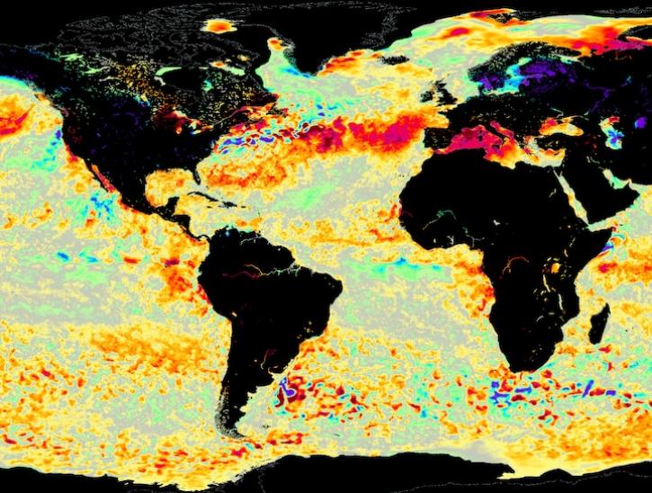
Image for June 8, 2025, from the GHRSST sea surface temperature analysis.
Worldview Image of the Week
June 9, 2025

Annual prescribed burns are crucial for improving and maintaining pasture and crop land health, and remote sensing data provides near real-time information on location and air quality.
News
June 6, 2025
The new VIIRS near real-time product is already in use, and users are encouraged to explore this replacement option for MODIS-based flood products.
Blog
June 2, 2025
A summary of datasets, products, and resources released by NASA’s Distributed Active Archive Centers (DAACs) in April 2025.
News
May 13, 2025

Researchers taught the SatVision Top-of-Atmosphere foundation model to recognize MODIS imagery features.
Feature Article
May 9, 2025
After 25 years, the Measurements Of Pollution In The Troposphere (MOPITT) instrument ceased observing carbon monoxide (CO) in the atmosphere on Feb. 1, 2025.
News
May 6, 2025

SHOWING 8 OF 449
Frequently Asked Questions
Earthdata Forum
Our online forum provides a space for users to browse thousands of FAQs about research needs, data, and data applications. You can also submit new questions for our experts to answer.
Submit Questions to Earthdata Forumand View Expert Responses