We are in the process of migrating all NASA Earth science data sites into Earthdata from now until end of 2026. Not all NASA Earth science data and resources will appear here until then. Thank you for your patience as we make this transition.
Read about the Web Unification Project
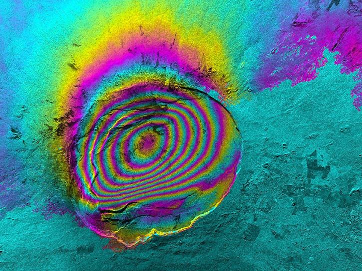
Sentinel-1 Resources
Earthdata resources for users working with NASA’s Sentinel-1 data include tutorials and other learning resources, news announcements such as instrument updates and data releases, user guides and related documents, and frequently asked questions.
Sentinel-1 Learning Resources
This ARSET training provides an introduction to SAR as well as a review of historical, current, and upcoming openly available SAR satellite data.
Training
Nov. 6-20, 2024
Order Sentinel-1 interferometric synthetic aperture radar (InSAR) products On Demand from NASA’s Alaska Satellite Facility Distributed Active Archive Center (ASF DAAC) for individual SLC bursts.
StoryMap
Nov. 1, 2024
Learn how to phase unwrap an interferogram in this data recipe from NASA’s Alaska Satellite Facility Distributed Active Archive Center (ASF DAAC).
Data Recipe
Oct. 18, 2024
This data recipe provides steps to construct a Harmony request URL to find S-1 InSAR data and perform subsetting using the GDAL Subsetter.
Data Recipe
Oct. 2, 2024
This data recipe shows users how to use GAMMA software and scripts for high-quality results to correct distortions in SAR images.
Data Recipe
Oct. 2, 2024
This data recipe reviews the preprocessing steps to accomplish a slice assembly and the subsequent subsetting of the border zone.
Data Recipe
Oct. 2, 2024
This data recipe reviews the steps to create a mosaic of two Sentinel-1 IW Ground Range Detected (GRD) products in different swaths.
Data Recipe
Oct. 2, 2024
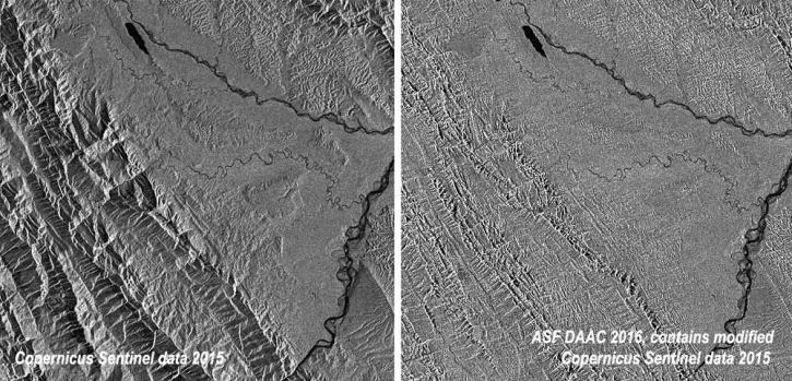
This data recipe shows how to radiometrically terrain correct Sentinel-1A GRD (SAR) data using the Sentinel-1 Toolbox software in the command line.
Data Recipe
Oct. 2, 2024
SHOWING 8 OF 65
Sentinel-1 News
View All News
Filters

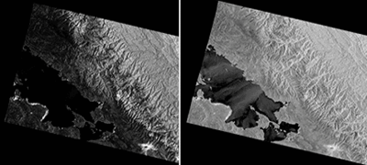
Sentinel-1 synthetic aperture radar (SAR) data are used to create maps of surface water extent for research, planning, and disaster response.
News
Oct. 28, 2024

False-color reflectance image of burned areas near the Greek town of Marathon acquired on Aug 18, 2024.
Worldview Image of the Week
Aug. 22, 2024

A summary of datasets, products, and resources released by NASA's Distributed Active Archive Centers (DAACs) in July 2024.
News
Aug. 6, 2024

NASA’s Alaska Satellite Facility Distributed Active Archive Center (ASF DAAC) Sentinel-1 Burst Archive is complete.
News
July 10, 2024

Sentinel-1 GRD, SLC, and RAW data are available to download from the Alaska Satellite Facility.
News
July 10, 2024

Predictions from an anomaly in a thruster used for Sentinel-1 orbit positioning control has resulted in the “orbit tube” diameter increasing from 100 meters to 200 meters maximum.
News
April 17, 2024
This presentation demonstrates how to process Sentinel-1 Interferometric Synthetic Aperture Radar (InSAR) GAMMA SBAS time series using HyP3.
Webinar
Jan. 24, 2024

In this video, Rudi Gens provides an introduction to NASA’s Observational Products for End-Users from Remote Sensing Analysis (OPERA) project data product suite.
Webinar
Jan. 23, 2024
SHOWING 8 OF 44
Frequently Asked Questions
Earthdata Forum
Our online forum provides a space for users to browse thousands of FAQs about research needs, data, and data applications. You can also submit new questions for our experts to answer.
Submit Questions to Earthdata Forumand View Expert Responses