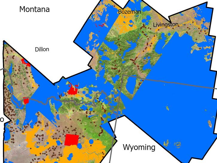
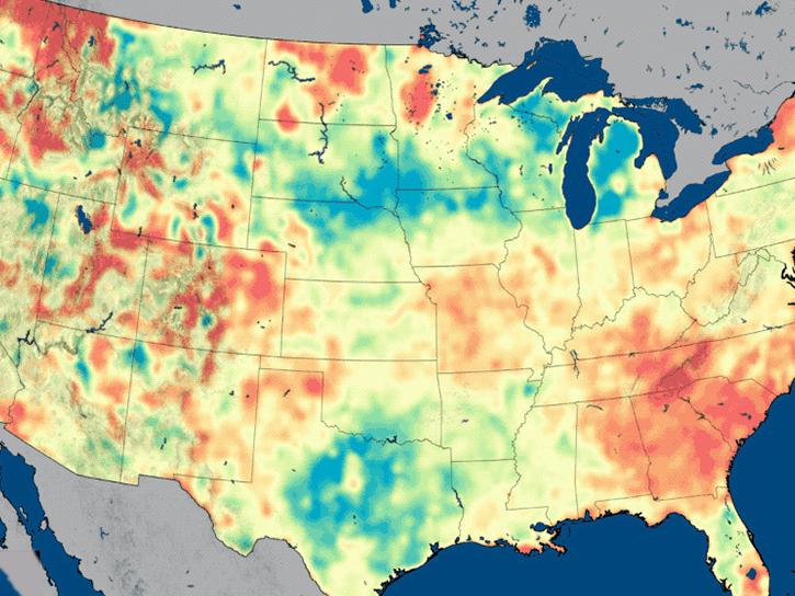
Earthdata resources for users working with NASA’s Sentinel-1 data include tutorials and other learning resources, news announcements such as instrument updates and data releases, user guides and related documents, and frequently asked questions.
Satellite issue affecting Sentinel-1D operations causes data to be unavailable on 26 October 2026
Copernicus Sentinel-1D Data Unavailability on 26 October 2026
Sentinel-1 Resources
Table of contents
Sentinel-1 Documents
| Name Sort descending | Description | File Type | Date Published | |
|---|---|---|---|---|
| OPERA_DISP-S1_ATBD_D-108765_Rev_A_v1.0.0_Final | Algorithm Theoretical Basis Document for OPERA Surface Displacement from Sentinel-1 data | PDF (1.2 mb) | March 30, 2026 |
Sentinel-1 Learning Resources
This ARSET Skills Launchpad walks users through the detection and monitoring of surface water and flooding on farmland.
Training
Ongoing
This ARSET Skills Launchpad walks users through the detection and monitoring of surface water and flooding on farmland.
StoryMap
Oct. 15, 2026
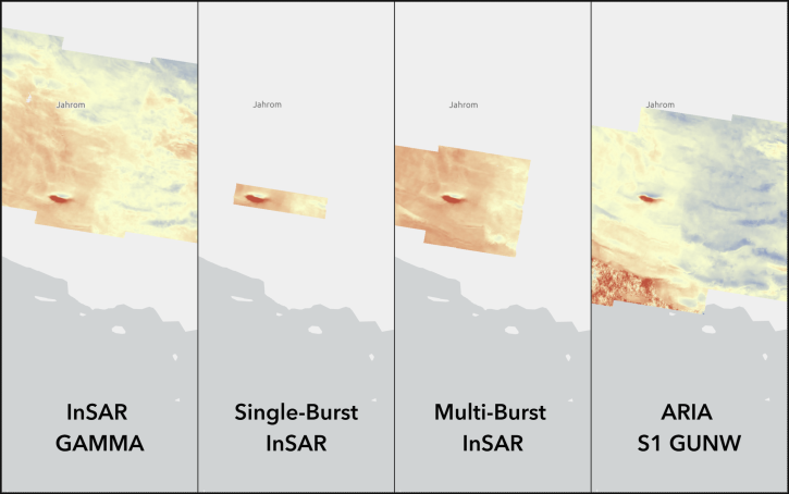
Compare the different Sentinel-1 InSAR products available On Demand from NASA's Alaska Satellite Facility Distributed Active Archive Center (ASF DAAC).
StoryMap
June 4, 2026
This three-part ARSET training covers flood monitoring via remote sensing, NASA flood products, and GEOGLOWS streamflow predictions.
Training
June 18-25, 2026
This ARSET training covers how data from GRACE/GRACE-FO, OPERA-DISP, and GLDAS can be used to assess groundwater changes.
Training
April 23-30, 2026
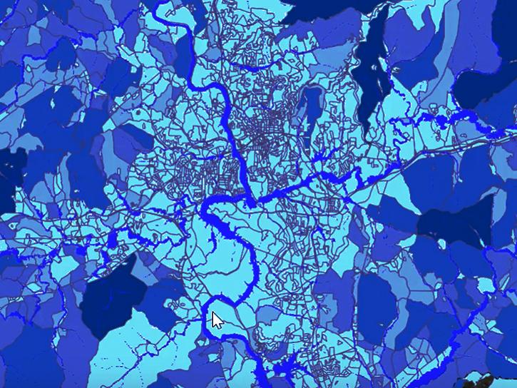
The Emergency Environmental Health Dashboard helped local communities assess water quality risks and infrastructure damage following Hurricane Helene and Tropical Storm Chantal.
Data in Action
Nov. 18, 2025
Access resources for exploring and working with OPERA Surface Displacement from Sentinel-1 (DISP-S1) products from NASA’s Alaska Satellite Facility Distributed Active Archive Center (ASF DAAC).
StoryMap
Sept. 2, 2025
This ARSET training provides an advanced understanding of radar remote sensing techniques for agriculture using machine learning methods.
Training
April 4-11, 2023
Sentinel-1 News
View All News
Filters
August 2026 marks 35 years since the first downlink of synthetic aperture radar data to the Alaska SAR Facility. ASF has supported many missions and archived many Earth observations since then.
Blog
Aug. 17, 2026
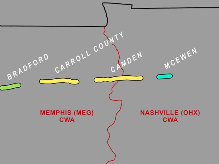
A study led by NASA researchers demonstrated how SAR satellite data can be used to identify tornado tracks and supplement storm damage surveys.
News
Aug. 7, 2026
USGS researchers found NASA’s imaging spectroscopy satellite data could significantly improve identification of vegetation types across rangelands.
News
June 25, 2026
The MODIS instrument aboard the Terra platform captured this image on April 27, 2026.
Worldview Image of the Week
May 1, 2026
This training offered by NASA's Applied Remote Sensing Training (ARSET) program covers applicable data sources for assessing groundwater change.
News
March 9, 2026
Image captured on February 17, 2026, by the C-Band SAR instrument aboard ESA's Sentinel-1C platform.
Worldview Image of the Week
Feb. 27, 2026
Image captured on December 18, 2025, by the C-Band SAR instrument aboard ESA's Sentinel-1A platform.
Worldview Image of the Week
Jan. 29, 2026
Image captured on December 18, 2025, by the C-SAR instrument aboard ESA's Sentinel-1A platform.
Worldview Image of the Week
Jan. 2, 2026
SHOWING 8 OF 50
Get Help
QUESTIONS & SUPPORT
Have a question?
Get help with NASA Earth science data, datasets, tools, services, and metadata on the Earthdata Forum. Experienced staff in the data user community review and answer questions.
Get help on Earthdata ForumEarthdata
Forum
Forum