We are in the process of migrating all NASA Earth science data sites into Earthdata from now until end of 2026. Not all NASA Earth science data and resources will appear here until then. Thank you for your patience as we make this transition.
Read about the Web Unification Project
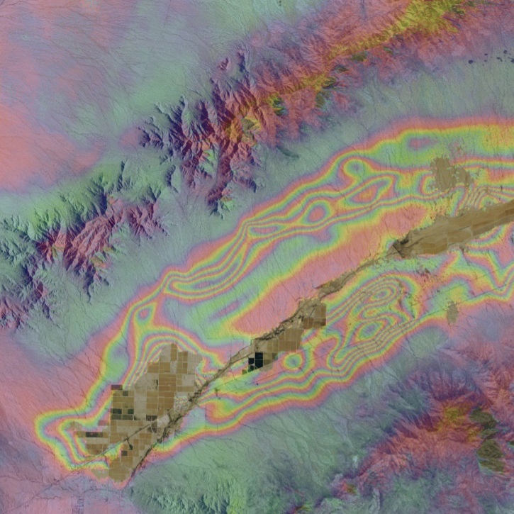
Sentinel-1 Resources
Earthdata resources for users working with NASA’s Sentinel-1 data include tutorials and other learning resources, news announcements such as instrument updates and data releases, user guides and related documents, and frequently asked questions.
Sentinel-1 Learning Resources
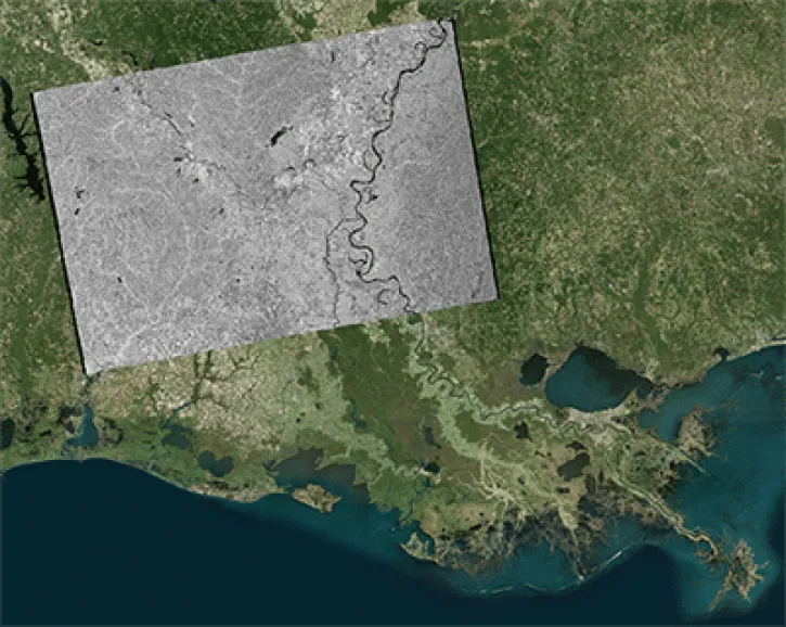
This data recipe shows how to geocode Sentinel-1 GRD products in ArcGIS using the Project Raster tool.
Data Recipe
Oct. 2, 2024
![This image shows Geocoded RGB Composite Image of Bucharest, Romania in Google Earth. Credit: ASF DAAC 2017; Contains modified Copernicus Sentinel data [2015] processed by ESA](https://earthdata.nasa.gov/s3fs-public/styles/hds_generic_card/public/2024-09/rgb-resulting-image.jpg?VersionId=g3VhlSo.o6e0osh0mRBH1pszhjJKgbgX&itok=7pmIc5-N)
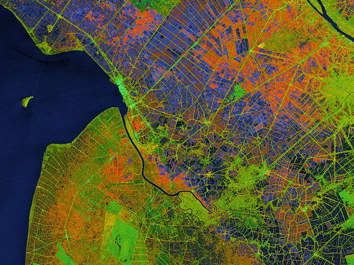
In this data recipe, you will learn how to create a coherence-based multi-temporal color composite of land coverage using the European Space Agency (ESA) Sentinel-1 Toolbox.
Data Recipe
Oct. 2, 2024

Learn how to use the CloudFormation Template to automate the processing of Sentinel-1 radiometrically terrain-corrected (RTC) products.
Data Recipe
Oct. 2, 2024
Learn how to batch-process one or more radiometric terrain correction (RTC) images using the Sentinel-1 Toolbox.
Data Recipe
Oct. 2, 2024
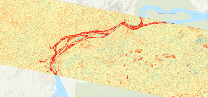
Learn about the water masking option provided by NASA’s Alaska Satellite Facility Distributed Active Archive Center (ASF DAAC) for on-demand Sentinel-1 interferometric synthetic aperture radar (InSAR).
StoryMap
Aug. 23, 2024

This tutorial demonstrates the impact that water masking can have on your phase unwrapping results.
Tutorial
Aug. 23, 2024

Discover the process of using synthetic aperture radar (SAR) for visualizing changes in a landscape caused by disturbances such as floods, deforestation, agriculture, and freeze/thaw cycles.
Tutorial
March 23, 2024
View a change detection workflow for Radiometric Terrain-Corrected products from Sentinel-1 (RTC-S1) provided by NASA's Observational Products for End-Users from Remote Sensing Analysis (OPERA) project.
StoryMap
March 4, 2024
SHOWING 8 OF 65
Sentinel-1 News
View All News
Filters

A summary of datasets, products, and resources released by NASA’s Distributed Active Archive Centers (DAACs) in December 2023.
News
Jan. 4, 2024

The Alaska Satellite Facility announced the availability of new synthetic aperture radar data products from the Observational Products for End-Users from Remote Sensing Analysis (OPERA) project.
News
Dec. 22, 2023

NASA's Observational Products for End-Users from Remote Sensing Analysis (OPERA) project releases two new analysis-ready products.
Feature Article
Dec. 11, 2023

As of September 26, 2023, Sentinel-1 data files are no longer compressed.
News
Oct. 18, 2023

OpenScienceLab promotes open science by reducing barriers to working with synthetic aperture radar (SAR) data in the cloud.
Feature Article
May 31, 2023

NASA near real-time data help Lori Schultz respond to agencies that reach out to NASA in the wake of natural disasters.
Data User Story
Jan. 31, 2023
When the Arizona Department of Water Resources lost valuable synthetic aperture radar (SAR) data, OpenSARLab provided a solution.
Feature Article
Oct. 18, 2022

Data from NASA’s ASF DAAC helps scientists like Dr. Zhong Lu develop satellite radar remote-sensing techniques for studying geohazards.
Data User Story
July 28, 2022
SHOWING 8 OF 44
Frequently Asked Questions
Earthdata Forum
Our online forum provides a space for users to browse thousands of FAQs about research needs, data, and data applications. You can also submit new questions for our experts to answer.
Submit Questions to Earthdata Forumand View Expert Responses