We are in the process of migrating all NASA Earth science data sites into Earthdata from now until end of 2026. Not all NASA Earth science data and resources will appear here until then. Thank you for your patience as we make this transition.
Read about the Web Unification Project
ISS Resources
ISS Learning Resources
A walkthrough to set up QGIS to stream cloud-optimized GeoTIFF files from NASA Earthdata.
External Resource
GitHub Repository
June 25, 2024
A thorough walkthrough for using Earthdata Search to find and download EMIT data.
External Resource
GitHub Repository
June 6, 2024
Use NASA's CMR API to programmatically find GEDI data.
External Resource
GitHub Repository
Feb. 21, 2024
Convert GEDI data products from .hdf5 to .geojson enabling visualization in a GIS.
External Resource
GitHub Repository
Feb. 21, 2024
Use NASA's CMR API to programmatically find GEDI data.
External Resource
GitHub Repository
Feb. 21, 2024
This code retrieves Monthly Zonal Mean images from the SAGE III-ISS Browse Imagery Service, Quicklook
External Resource
GitHub Repository
Feb. 21, 2025
Use the earthaccess Python library to find EMIT L2B Mineral Identification Band Depth and Uncertainty data.
External Resource
GitHub Repository
June 28, 2024

Use the earthaccess Python library to find and download or stream EMIT data.
External Resource
GitHub Repository
SHOWING 8 OF 74
ISS News
View All News
Filters

A summary of datasets, products, and resources released by NASA's Distributed Active Archive Centers (DAACs) in June 2024.
News
July 2, 2024

Data from NASA’s Land, Atmosphere Near real-time Capability for Earth observations (LANCE) are critical to the Navy’s tropical cyclone forecasts.
Data User Story
July 1, 2024
New carbon dioxide and methane data, expanded spatial and temporal resolution for several datasets, and an enhanced data exploration environment are some of the updates in this beta release.
News
June 4, 2024

A summary of datasets, products, and resources released by NASA's Distributed Active Archive Centers (DAACs) in April 2024.
News
May 7, 2024

Image captured on Apr 24, 2024, by the VIIRS instrument aboard the joint NASA/NOAA NOAA-20 satellite.
Worldview Image of the Week
April 25, 2024
New data tutorials are available for working with methane data from NASA's Earth Surface Mineral Dust Source Investigation (EMIT) mission.
News
April 10, 2024

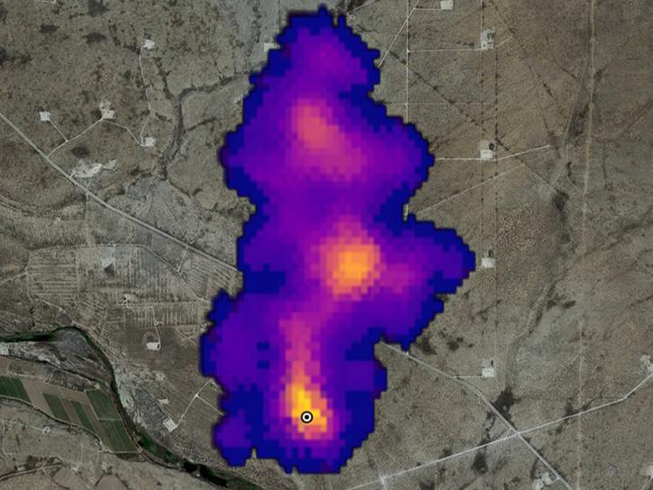
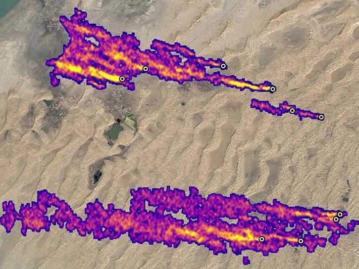
NASA has long used imaging spectroscopy to peer into space. Now, scientists are using the technology to take a closer look at Earth.
Data User Story
Feb. 15, 2024
This 2-hour virtual workshop on March 14, 2024, demonstrates how to use methane data products from NASA's Earth Surface Mineral Dust Source Investigation (EMIT) mission.
Event
Feb. 7, 2024
SHOWING 8 OF 80
Frequently Asked Questions
Earthdata Forum
Our online forum provides a space for users to browse thousands of FAQs about research needs, data, and data applications. You can also submit new questions for our experts to answer.
Submit Questions to Earthdata Forumand View Expert Responses