We are in the process of migrating all NASA Earth science data sites into Earthdata from now until end of 2026. Not all NASA Earth science data and resources will appear here until then. Thank you for your patience as we make this transition.
Read about the Web Unification Project
Land Use/Land Cover Learning Resources
Webinars, tutorials, data recipes and more to help you work with Land Use/Land Cover.
Filters
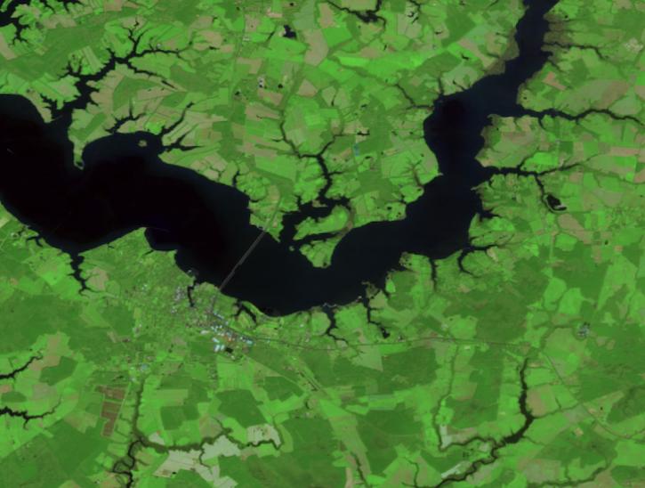
Create your own Harmonized Landsat Sentinel 2 (HLS) image composite or select from a preset list.
Tutorial
April 29, 2026
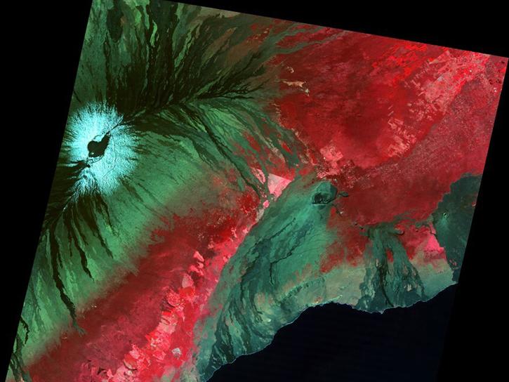
The USGS EROS User Services team is offering an hour-long webinar to share the data, tools, and services available from the Advanced Spaceborne Thermal Emission and Reflection Radiometer (ASTER) instrument aboard NASA’s Terra satellite.
Webinar
March 26, 2026
This ARSET training explores how the R statistical coding language can be used to classify land cover and quantify changes in land cover over time.
Training
Feb. 24-26, 2026

This ARSET training discusses the use of a remote sensing measure of photosynthesis to study the impact of extreme weather on cropland and ecosystems.
Training
Oct. 15-29, 2025

This Jupyter Notebook shows users how to find and access Global Land Cover Mapping and Estimation Yearly 30 meter (GLanCE30) data.
External Resource
Jupyter Notebook
July 23, 2025
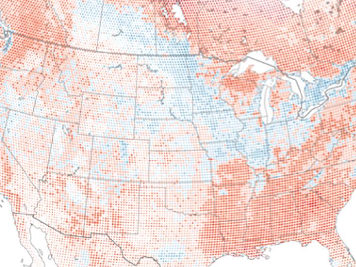
The eBird project uses NASA data and observations from amateur birdwatchers to provide insights into the decline in avian populations throughout North America.
Data in Action
June 17, 2025
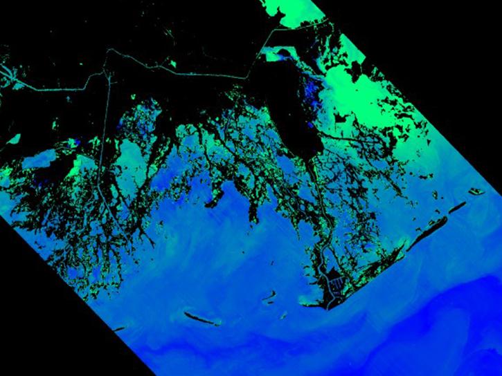
Work with the EMIT L2B Mineral Identification Band Depth and Uncertainty Data and aggregate individual spectral library constituents into the EMIT-10 minerals and estimate abundance.
External Resource
GitHub Repository
July 7, 2024
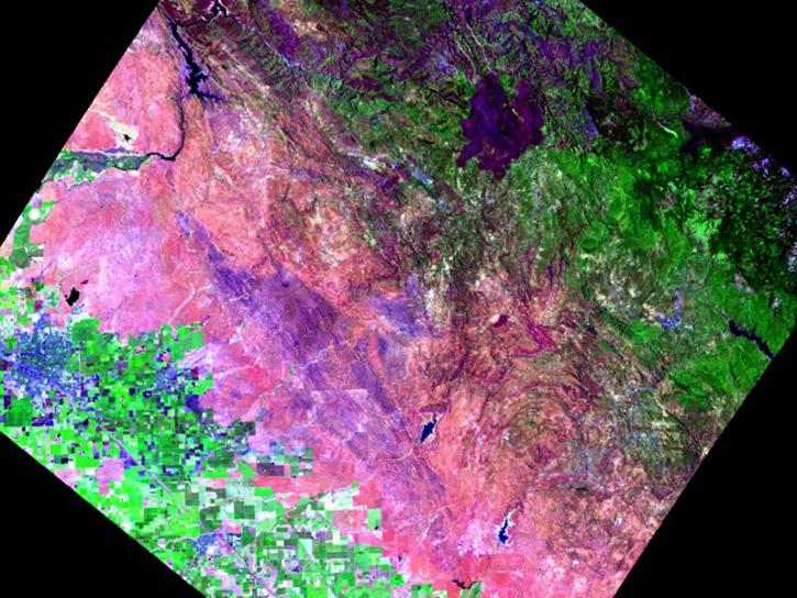
Explore EMIT L2A Reflectance data using interactive plots.
External Resource
GitHub Repository
June 17, 2024
SHOWING 8 OF 71
Frequently Asked Questions
Earthdata Forum
Our online forum provides a space for users to browse thousands of FAQs about research needs, data, and data applications. You can also submit new questions for our experts to answer.
Submit Questions to Earthdata Forumand View Expert Responses