We are in the process of migrating all NASA Earth science data sites into Earthdata from now until end of 2026. Not all NASA Earth science data and resources will appear here until then. Thank you for your patience as we make this transition.
Read about the Web Unification Project
Land Use/Land Cover Learning Resources
Webinars, tutorials, data recipes and more to help you work with Land Use/Land Cover.
Filters
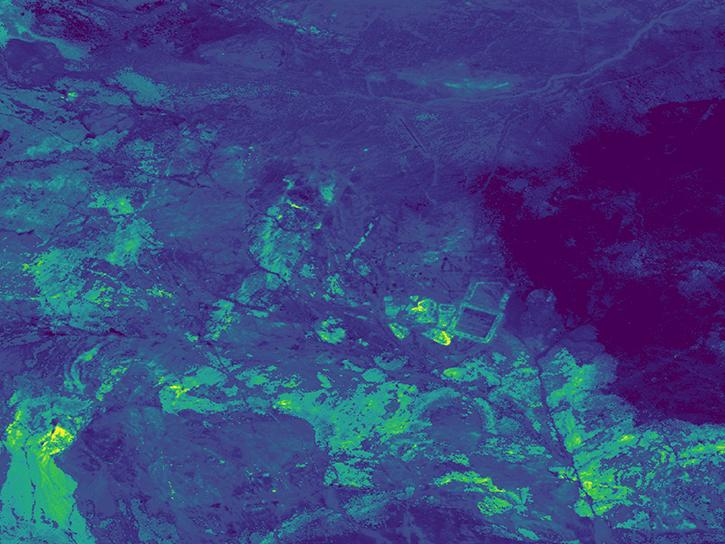
Use the earthaccess Python library to find EMIT L2B Mineral Identification Band Depth and Uncertainty data.
External Resource
GitHub Repository
June 28, 2024
This ARSET training provides an overview of spectral indices for land and aquatic applications as they are calculated with the QGIS platform.
Training
Feb. 27, 2025
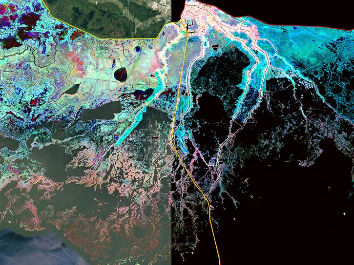
Join us to learn more about datasets and tools that enable the harmonization of remote sensing and in situ ecological data products for site-based research.
Webinar
Aug. 22, 2024

Learn more about NASA's Application for Extracting and Exploring Analysis Ready Samples (AppEEARS). This webinar showcases the system's capabilities and highlights learning resources to help simplify data access workflows using AppEEARS.
Webinar
April 9, 2024
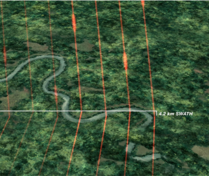
Join us Tuesday, Mar 5, 2024, from 4-5 p.m., ET, to learn how to get started with NASA's Global Ecosystem Dynamics Investigation (GEDI) data in the cloud.
Webinar
Feb. 20, 2024
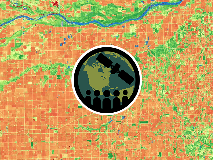
This training provides an overview of spectral indices for land and aquatic applications.
Training
Oct. 26 - Nov. 9, 2023
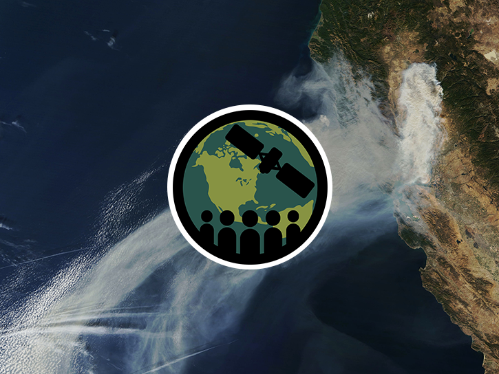
This advanced-level training focuses on using remote sensing observations for monitoring post-fire impacts on watershed health.
Training
July 6-13, 2023

This training provides an overview of machine learning and how to apply algorithms and techniques to Earth science data.
Training
April 20 - May 4, 2023
SHOWING 8 OF 71
Frequently Asked Questions
Earthdata Forum
Our online forum provides a space for users to browse thousands of FAQs about research needs, data, and data applications. You can also submit new questions for our experts to answer.
Submit Questions to Earthdata Forumand View Expert Responses