We are in the process of migrating all NASA Earth science data sites into Earthdata from now until end of 2026. Not all NASA Earth science data and resources will appear here until then. Thank you for your patience as we make this transition.
Read about the Web Unification Project
Floods News
Articles, resources, and announcements from Floods.

Who uses NASA Earth science data? Dr. Pierre Kirstetter, for improving our understanding of precipitation and flooding.
Data User Story
April 20, 2021

The Global Sea Level Change portal is NASA’s home for sea level change data and information. As the portal’s principal investigator, Dr. Boening ensures that it remains a key resource for both scientists and the general public.
Data User Story
April 12, 2021

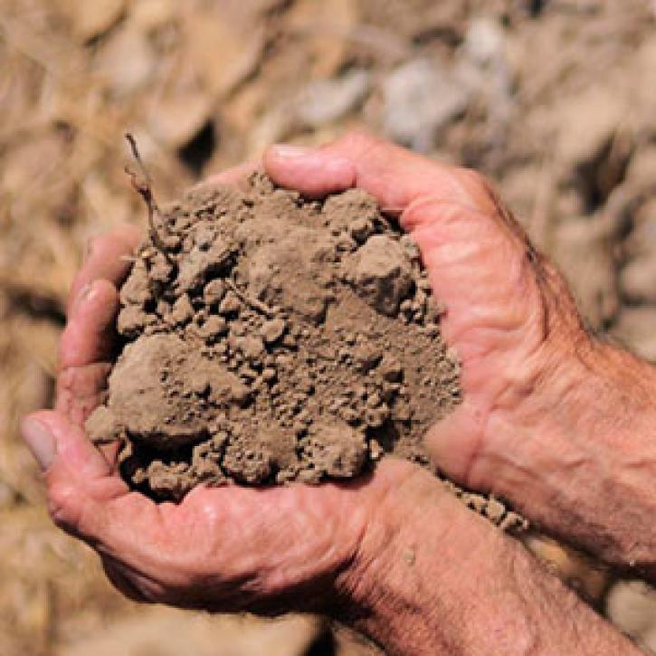
New methods help Argentinian farmers brace for bad weather.
Feature Article
Dec. 28, 2020
Census and climate data uncover internal migration patterns in North Latin America and the Caribbean.
Feature Article
Dec. 28, 2020
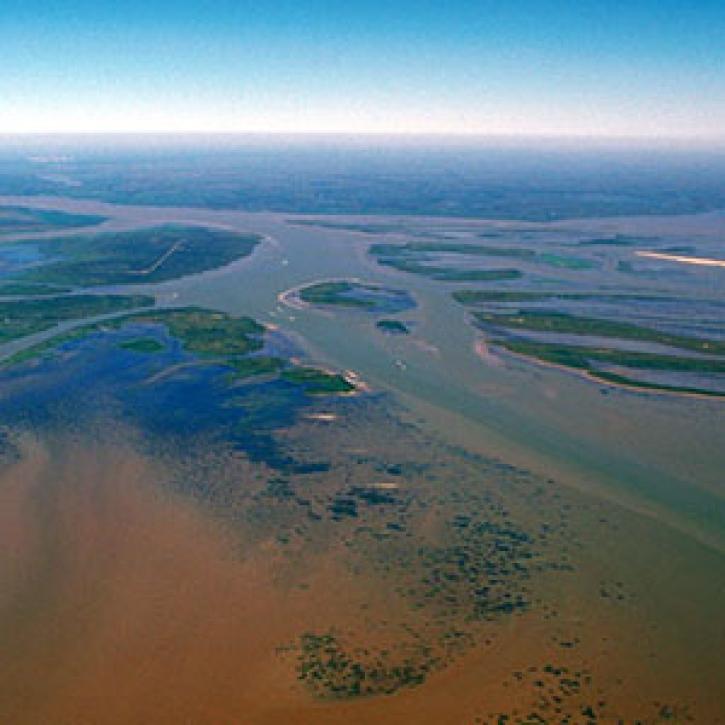
Complex structures keep the Mississippi River out of the Atchafalaya, for now.
Feature Article
Dec. 27, 2020

Who uses NASA Earth science data? Katherine Pitts, to study the impacts of climate change and analyze remotely-sensed geophysical data.
Data User Story
Dec. 22, 2020

The 16 datasets in the West Africa Coastal Vulnerability Mapping collection provide a wealth of information about the stresses affecting this important region.
Feature Article
Nov. 4, 2020
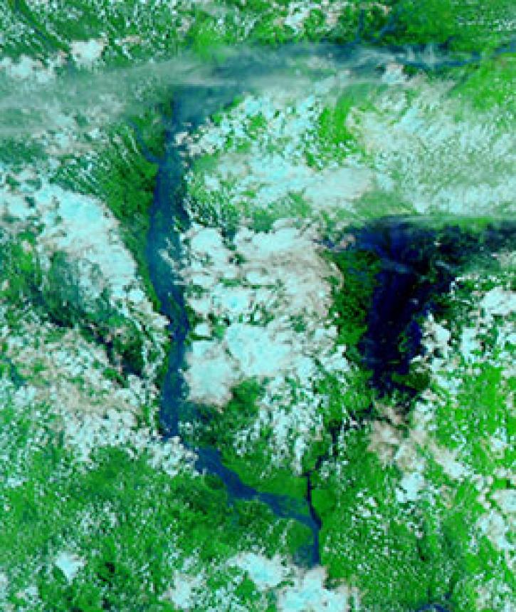
Image captured on 25 July 2020, by the VIIRS instrument, aboard the joint NASA/NOAA NOAA-20 satellite.
Worldview Image of the Week
Nov. 3, 2020
SHOWING 8 OF 48