We are in the process of migrating all NASA Earth science data sites into Earthdata from now until end of 2026. Not all NASA Earth science data and resources will appear here until then. Thank you for your patience as we make this transition.
Read about the Web Unification Project
Floods News
Articles, resources, and announcements from Floods.

The MODIS instrument aboard the Terra platform captured this image on April 27, 2026.
Worldview Image of the Week
May 1, 2026

NASA significantly enhanced its MODIS and VIIRS near real-time flood products, enabling users to distinguish between unusual and recurring flooding.
Blog
April 10, 2026

Image captured on December 18, 2025, by the C-Band SAR instrument aboard ESA's Sentinel-1A platform.
Worldview Image of the Week
Jan. 29, 2026

Base image, overlaid with flood information captured on December 23, 2025, by the VIIRS instrument aboard the NOAA-20 platform.
Worldview Image of the Week
Dec. 26, 2025

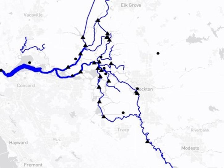
Researchers used the Emergency Environmental Health Dashboard, which leverages NASA's record of satellite imagery, to assess post-storm impacts to water systems and private wells.
News
Nov. 18, 2025

Image captured September 11, 2025, by the VIIRS instrument aboard the joint NASA/NOAA NOAA-21 platform.
Worldview Image of the Week
Sept. 11, 2025

Join us on Wed., September 17, 2025, at 2:00 p.m. EDT (-04:00 UTC) to learn how to discover, access, and use NASA's near real-time global flood products .
Webinar
Aug. 29, 2025
The Water Information from SPace (WISP) dashboard brings together data from NASA’s SWOT satellite and USGS streamgages in a user-friendly application.
Blog
July 30, 2025
SHOWING 8 OF 49