We are in the process of migrating all NASA Earth science data sites into Earthdata from now until end of 2026. Not all NASA Earth science data and resources will appear here until then. Thank you for your patience as we make this transition.
Read about the Web Unification Project
Floods News
Articles, resources, and announcements from Floods.

Participants will develop algorithms to identify flood pixels after training their algorithm against a training set of synthetic aperture radar images.
Blog
Dec. 7, 2023
Understanding Needs to Broaden Outside Use of NASA Data for Coastal Issues (UNBOUND CI) is a multi-session virtual workshop for data practitioners involved in coastal zone management, flood risk management, sea-level rise, and subsidence issues to help make NASA Earth science data products more discoverable and suitable for addressing issues in coastal zones.
Event
Aug. 8, 2023

Based on NASA's Harmonized Landsat Sentinel-2 (HLS) data, the artificial intelligence (AI) foundation model is a milestone in the application of AI for Earth science.
News
Aug. 3, 2023
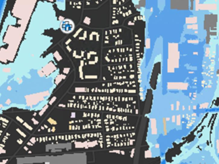
The New York State Flood Impact Support System Application visualizes building footprint data for nearly all New York State's infrastructure.
News
July 7, 2023

Image of a three-day flood composite ending Mar 22, 2023, from the MODIS instruments aboard the Terra and Aqua satellites, overlaid on a true color corrected reflectance image.
Worldview Image of the Week
March 22, 2023

NASA near real-time data help Lori Schultz respond to agencies that reach out to NASA in the wake of natural disasters.
Data User Story
Jan. 31, 2023

Image of a three-day flood composite ending Jan 23, 2023, from the MODIS instruments aboard the Terra and Aqua satellites.
Worldview Image of the Week
Jan. 24, 2023

Image of a three-day flood composite ending Aug 30, 2022, from the MODIS instruments aboard the Terra and Aqua satellites.
Worldview Image of the Week
Aug. 30, 2022
SHOWING 8 OF 48