How Do Scientists Monitor El Niño?
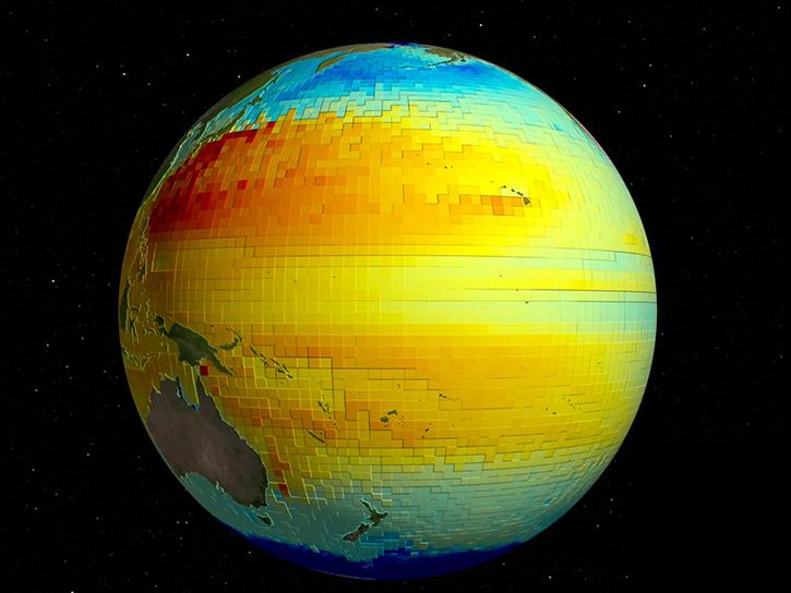
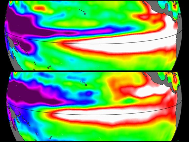
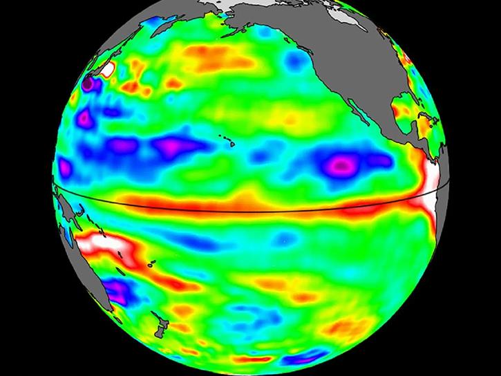
Missions like Surface Water and Ocean Topography (SWOT), Sentinel 6 Michael Freilich, and Sentinel 6B can monitor variations in sea surface height across the world’s ocean basins. The height of the surface is a reflection of the amount of heat stored in the water, as warm water expands to fill more space than cooler water. These satellite missions can track the buildup of warm water in the Western Pacific, and the sloshing movement of warm water masses as they move eastwards that signals the start of an ENSO period.
The satellites of the Gravity Recovery and Climate Experiment (GRACE and GRACE-FO) track changes in water mass and storage around the planet, showing scientists where excess or depleted rainfall is changing the amount of freshwater on land at different phases of ENSO.
The Global Precipitation Mission (GPM) and Tropical Rainfall Monitoring Mission (TRMM) capture how ENSO affects global and regional precipitation. Missions like the Plankton, Aerosol, Cloud ocean Ecosystem (PACE) satellite and the Visible Infrared Imaging Radiometer Suite (VIIRS) instruments can track changes in ocean conditions that can affect phytoplankton populations and global fisheries.
What Do Scientists Do with El Niño Observations?
These observations can help communities understand and prepare for the weather changes caused by the El Niño. Long-term observations of ENSO conditions are also used to further improve climate models. Tracking the ENSO cycle is also vital for climate resilience. El Niño can bring higher temperatures, unpredictable storm formation, and changes in rainfall patterns in some regions.