What are weather forecasts?
Forecasts are predictions about the future state of a system—like seasonal climate patterns or daily weather—based on available data. Weather forecasting as a science incorporates observations of precipitation, wind, temperature, cloud cover, and many other atmospheric variables into robust mathematical models.
Weather forecasts are a common part of everyday life and commerce. But weather forecasts help us predict, prepare for, and recover from natural hazards. They also can help identify areas vulnerable to floods or drought, alert communities to major storms, or help farmers manage their crops in the face of changing weather.
How do we contribute to weather forecasts?
NASA provides a range of datasets and tools that can aid weather forecasters in other government agencies and research institutions.
For instance, the Global Precipitation Measurement (GPM) mission provides data on global precipitation patterns. The Advanced Microwave Sounding Unit (AMSU) on the Aqua platform takes vertical profiles of atmospheric temperatures, allowing scientists to model rainfall and temperature variations.
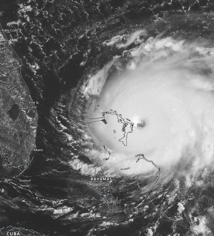
Instruments like the Visible Infrared Imaging Radiometer Suite (VIIRS) track land and sea surface temperatures, as well as cloud cover, while the Cyclone Global Navigation Satellite System (CYGNSS) measures wind speeds over the ocean to help monitor tropical storm conditions.
These satellite observations are powerful on their own, but researchers combine these with ground, sea, and airborne measurements to create more robust weather and climate models that inform daily weather forecasts and long-term models of climate and precipitation.
NASA provides a wide catalog of climate and environmental data, as well as tutorials for integrating them into climate and weather models.