We are in the process of migrating all NASA Earth science data sites into Earthdata from now until end of 2026. Not all NASA Earth science data and resources will appear here until then. Thank you for your patience as we make this transition.
Read about the Web Unification Project
Filters
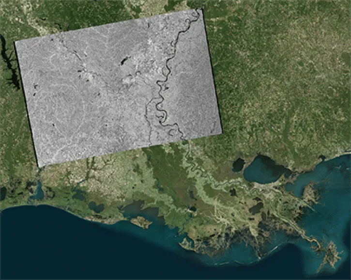
This data recipe shows how to geocode Sentinel-1 GRD products in ArcGIS using the Project Raster tool.
Data Recipe
Oct. 2, 2024

Read the latest news about NASA Earth science data, including monthly roundups of new releases, articles about data tools and training opportunities, and user stories that highlight how NASA data is translated into actionable science.
News
Oct. 2, 2024
View the latest stunning imagery from NASA Worldview, an open resource for visualizing data from across the globe.
Worldview Image of the Week
Oct. 2, 2024
Explore how NASA Earth science data is collected, analyzed, visualized, and put into action to benefit Earth.
Blog
Oct. 2, 2024

NASA's Earth observation data is used by researchers, decision makers, and communities around the globe—from farmers to climate scientists to experts in artificial intelligence. Meet some of our users by reading their stories.
Data User Story
Oct. 2, 2024

All across the planet, NASA Earth science data are used to meet real-world challenges.
Data in Action
Oct. 1, 2024

Follow one of our data recipes to accomplish a specific task, such as converting data into a certain format for analysis or visualization.
Data Recipe
Oct. 1, 2024
SHOWING 8 OF 2379