Delivery of Suomi National Polar-orbiting Partnership (Suomi NPP) satellite data products will cease on November 1, 2026. Data users should transition now to alternative products from NOAA-21 and NOAA-20.
Suomi NPP data announcement
Filters
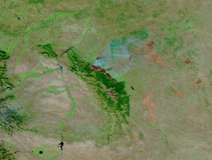
This image of the Elk Fire in Wyoming was captured on Oct 16, 2024, by the VIIRS instrument aboard the joint NASA/NOAA NOAA-21 platform.
Worldview Image of the Week
Oct. 17, 2024
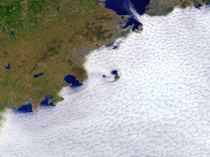
This dataset identifies cloudy and clear-sky scenes to ensure long term, reliable measurements of the Earth system.
News
Oct. 16, 2024
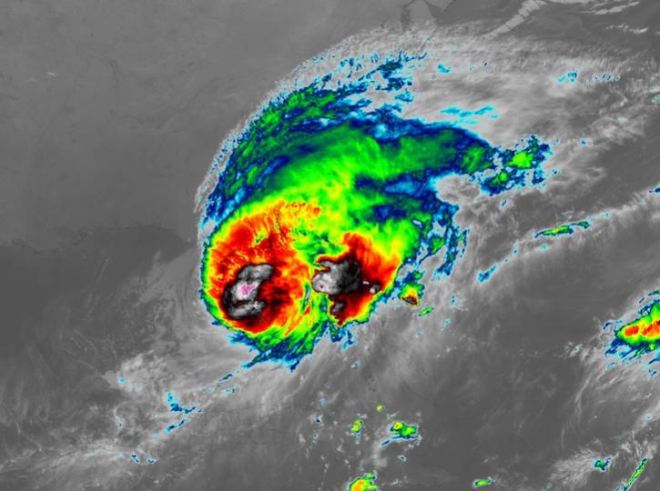
Image captured on Oct 10, 2024, at 8:00 p.m., EDT [00:00 UTC], by the Advanced Baseline Imager (ABI) instrument aboard the GOES-East platform.
Worldview Image of the Week
Oct. 10, 2024

The SWOT On-Demand Level 2 Raster Generation System (SWODLR) for Surface Water and Ocean Topography (SWOT) data is now part of Earthdata Search.
News
Oct. 9, 2024
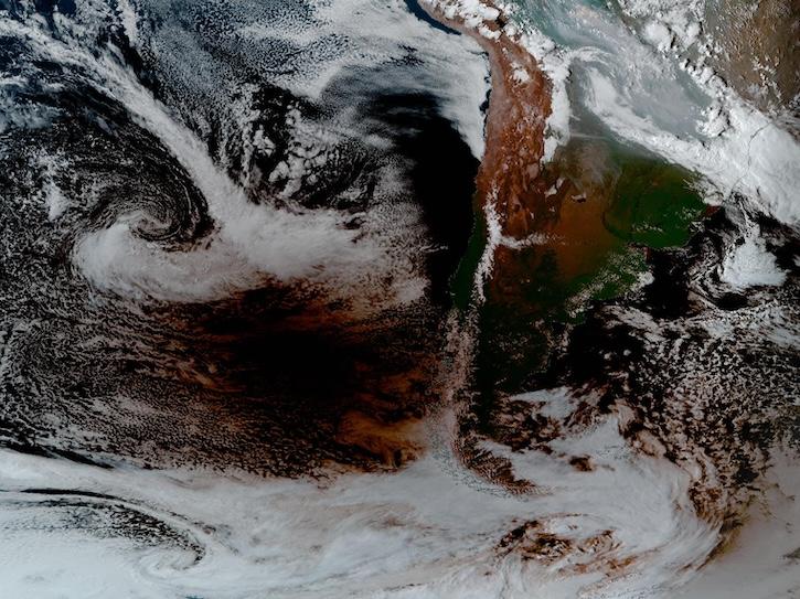
Image captured Oct 2, 2024, at 4:00 p.m., ET, by the Advanced Baseline Imager (ABI) instrument aboard the GOES-East platform.
Worldview Image of the Week
Oct. 3, 2024
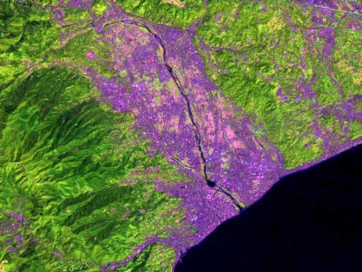
A summary of datasets, products, and resources released by NASA’s Distributed Active Archive Centers (DAACs) in September 2024.
News
Oct. 3, 2024
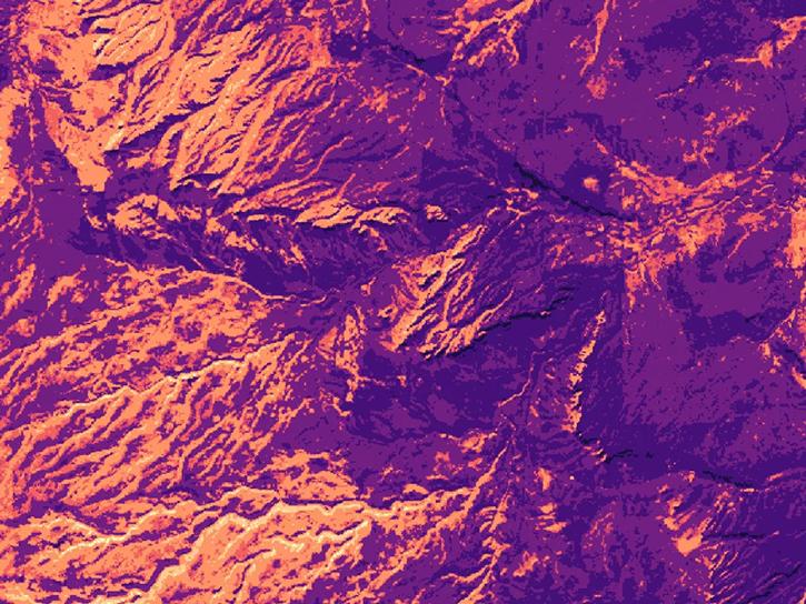
Satellite Needs Working Group (SNWG) solutions, such as Harmonized Landsat and Sentinel-2 (HLS), assist agencies with their existing workflows and decision-making processes by creating actionable science.
Data in Action
Oct. 3, 2024
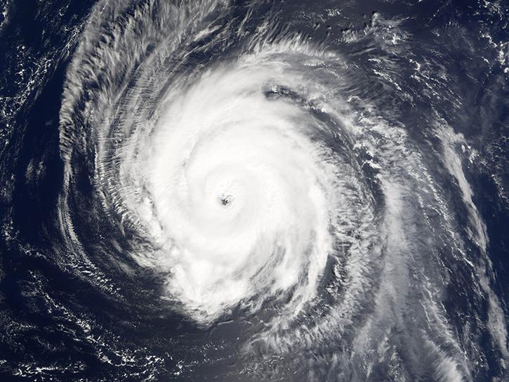
Sentinel-6 and Multi-Scale Ultra-High Resolution data reveal how Hurricane Helene rapidly intensified in the warm Gulf waters.
Data in Action
Oct. 3, 2024
SHOWING 8 OF 2411