We are in the process of migrating all NASA Earth science data sites into Earthdata from now until end of 2026. Not all NASA Earth science data and resources will appear here until then. Thank you for your patience as we make this transition.
Read about the Web Unification Project
Filters
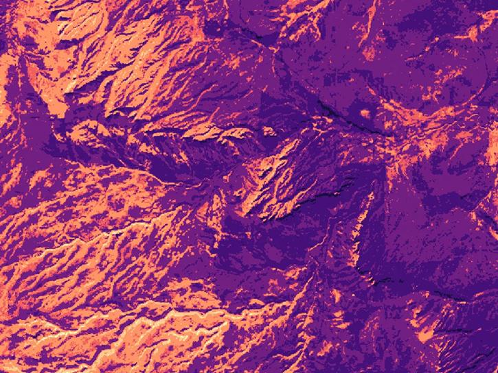
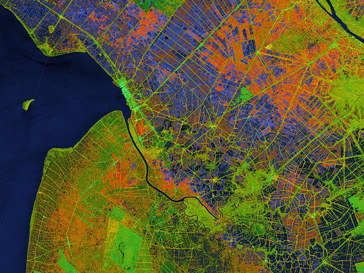
Satellite Needs Working Group (SNWG) solutions, such as Harmonized Landsat and Sentinel-2 (HLS), assist agencies with their existing workflows and decision-making processes by creating actionable science.
Data in Action
Oct. 3, 2024

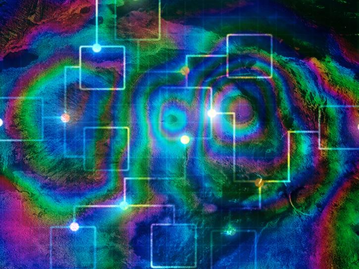
Sentinel-6 and Multi-Scale Ultra-High Resolution data reveal how Hurricane Helene rapidly intensified in the warm Gulf waters.
Data in Action
Oct. 3, 2024

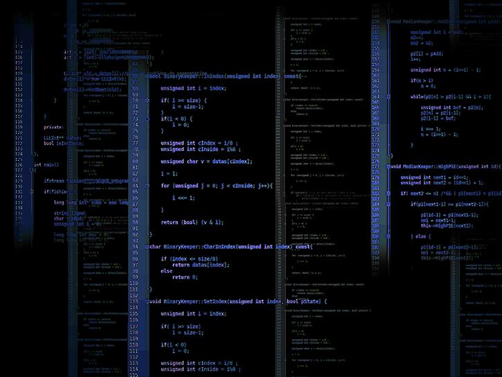
Learn how to use the CloudFormation Template to automate the processing of Sentinel-1 radiometrically terrain-corrected (RTC) products.
Data Recipe
Oct. 2, 2024
Learn how to batch-process one or more radiometric terrain correction (RTC) images using the Sentinel-1 Toolbox.
Data Recipe
Oct. 2, 2024
This data recipe shows how to connect an AWS Linux EC2 instance from your computer using the SSH protocol.
Data Recipe
Oct. 2, 2024

This recipe demonstrates how to create and configure a basic Linux EC2 instance using an AWS Free Tier option.
Data Recipe
Oct. 2, 2024
Use the PuTTY SSH client to connect to your AWS Linux EC2 instance from a local computer running Windows.
Data Recipe
Oct. 2, 2024

Learn how to set up a billing alarm to receive emails when your Amazon Web Services (AWS) account charges exceed a specified amount.
Data Recipe
Oct. 2, 2024
SHOWING 8 OF 2379