We are in the process of migrating all NASA Earth science data sites into Earthdata from now until end of 2026. Not all NASA Earth science data and resources will appear here until then. Thank you for your patience as we make this transition.
Read about the Web Unification Project
Filters
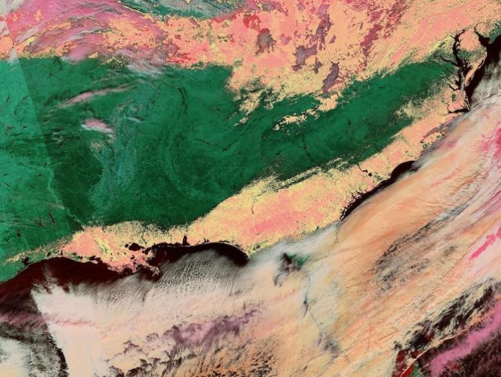
Image captured on Jan 22, 2025, by the VIIRS instrument aboard the joint NASA/NOAA NOAA-20 platform.
Worldview Image of the Week
Jan. 23, 2025
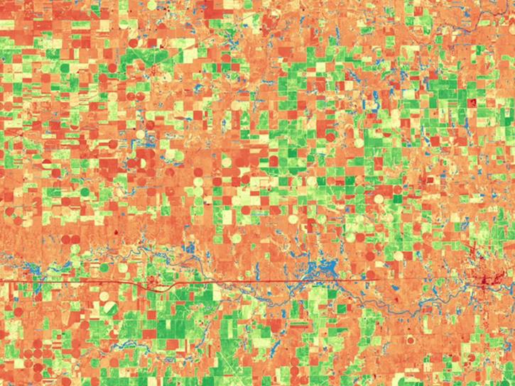
Satellite Needs Working Group (SNWG) solutions, such as Harmonized Landsat and Sentinel-2 (HLS), assist agencies with their existing workflows and decision-making processes by creating actionable science.
Data in Action
Jan. 22, 2025
Satellite Needs Working Group (SNWG) solutions, such as Harmonized Landsat and Sentinel-2 (HLS), assist agencies with their existing workflows and decision-making processes by creating actionable science.
Data in Action
Jan. 22, 2025

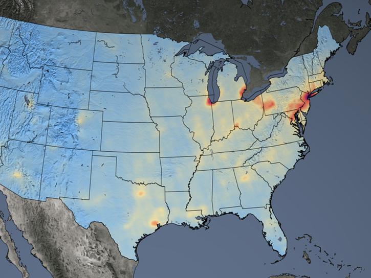
The final processing of Advanced Spaceborne Thermal Emission and Reflection Radiometer (ASTER) data will make its archive more accessible to users.
Feature Article
Jan. 21, 2025
NASA's Health and Air Quality Applied Sciences Team (HAQAST) Showcase connects public health experts and air quality managers with NASA satellite data and products. This year's hybrid Showcase takes place on January 28, 2025.
Event
Jan. 21, 2025

The Compact Ocean Wind Vector Radiometer (COWVR) and Temporal Experiment for Storms and Tropical Systems (TEMPEST) datasets are the first from the Space Test Program - Houston 8 (STP-H8) mission that aims to test low-cost, light-weight instruments designed for weather applications.
News
Jan. 17, 2025
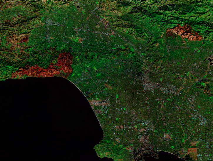
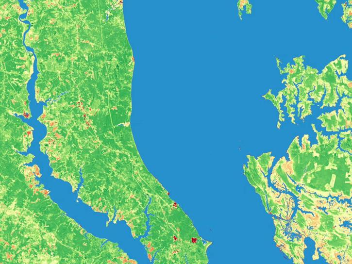
Image captured on Jan 12, 2025, by the MSI instrument aboard ESA's Sentinel-2A platform.
Worldview Image of the Week
Jan. 17, 2025

The Help Hub hosted by NASA's Ocean Biology Distributed Active Archive Center (OB.DAAC) has been updated with new learning resources for processing ocean color satellite data, working with Plankton, Aerosol, Cloud, ocean Ecosystem (PACE) data, and more.
News
Jan. 15, 2025
SHOWING 8 OF 2379