We are in the process of migrating all NASA Earth science data sites into Earthdata from now until end of 2026. Not all NASA Earth science data and resources will appear here until then. Thank you for your patience as we make this transition.
Read about the Web Unification Project
Filters

Learn more about the NASA Commercial Satellite Data Acquisition (CSDA) program vendor Capella Space and how to discover, access, and work with their SAR data products.
Webinar
Dec. 30, 2024
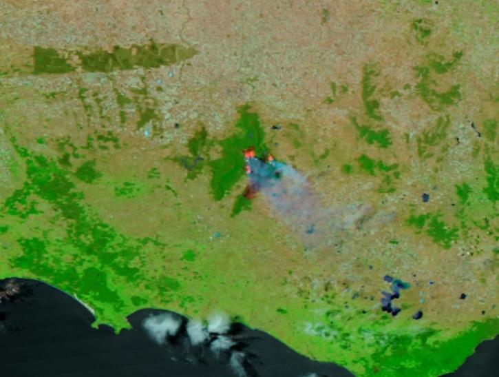
Image captured on Dec 25, 2024, by the VIIRS instrument aboard the NOAA-21 platform.
Worldview Image of the Week
Dec. 26, 2024
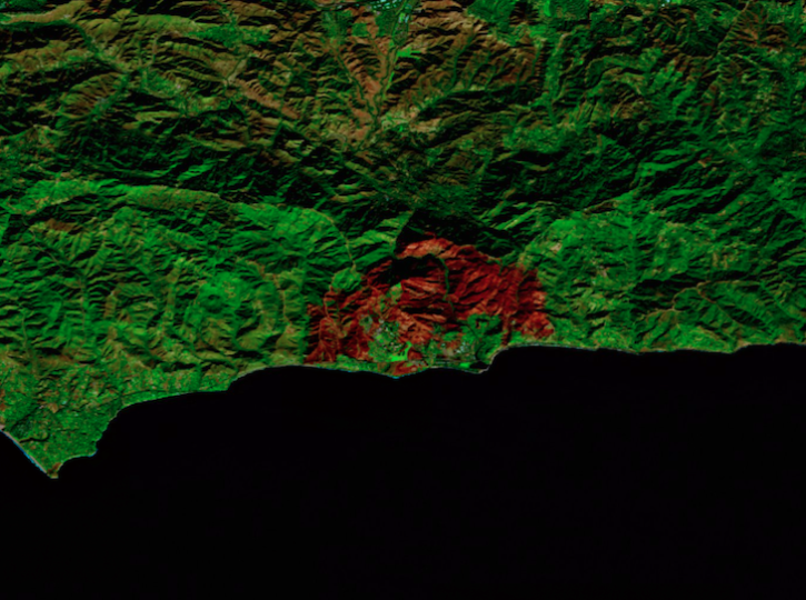
Image captured on Dec 18, 2024, by the MSI instrument aboard ESA's Sentinel-2B platform.
Worldview Image of the Week
Dec. 20, 2024
This International Geoscience and Remote Sensing Symposium (IGARSS) session focused on the benefits of fusing visible to shortwave infrared (VSWIR) hyperspectral and thermal infrared data.
Event
Dec. 18, 2024
More than a dozen Level 1, 2, and 3 data products from NASA's Tropospheric Emissions: Monitoring of Pollution (TEMPO) Version 03 collection are now available at provisional maturity.
News
Dec. 16, 2024
The GNSS-based Upper Atmospheric Realtime Disaster Information and Alert Network (GUARDIAN) aims to enhance early warning of tsunamis.
Data in Action
Dec. 13, 2024

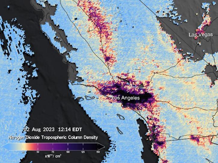
Image captured on Dec 10, 2024, by the TEMPO instrument aboard the Intesat-40e platform.
Worldview Image of the Week
Dec. 12, 2024

Artificial intelligence methods can be powerful tools to study our oceans.
Data in Action
Dec. 12, 2024
SHOWING 8 OF 2379