We are in the process of migrating all NASA Earth science data sites into Earthdata from now until end of 2026. Not all NASA Earth science data and resources will appear here until then. Thank you for your patience as we make this transition.
Read about the Web Unification Project
Filters
How do I love thee? Let me count the datasets...
News
Feb. 14, 2025
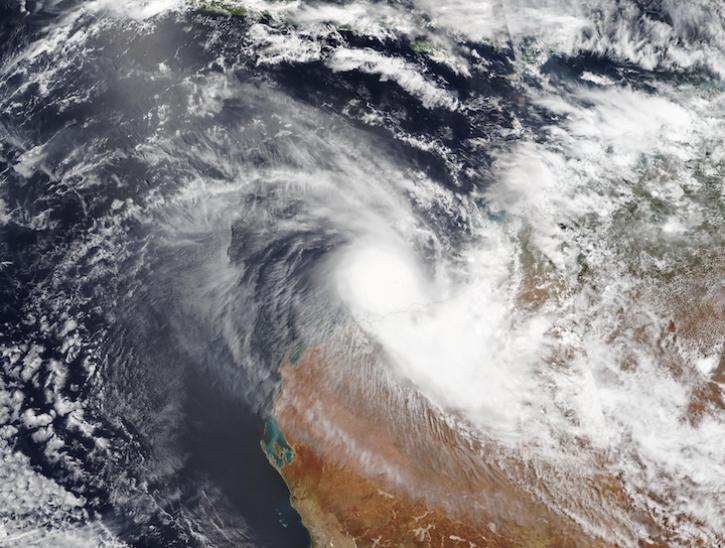
Image captured on Feb 13, 2025, by the VIIRS instrument aboard the joint NASA/NOAA NOAA-20 platform.
Worldview Image of the Week
Feb. 13, 2025

NASA’s Atmospheric Science Data Center (ASDC) GitHub hosts tutorials, code, and guides to help Earth science data users address air quality and other environmental challenges.
News
Feb. 13, 2025
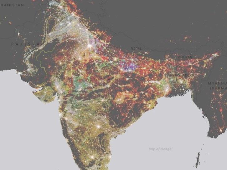
NASA’s Socioeconomic Data and Applications Center (SEDAC) has released a collection of 12 datasets focused on the urban environment.
Feature Article
Feb. 7, 2025
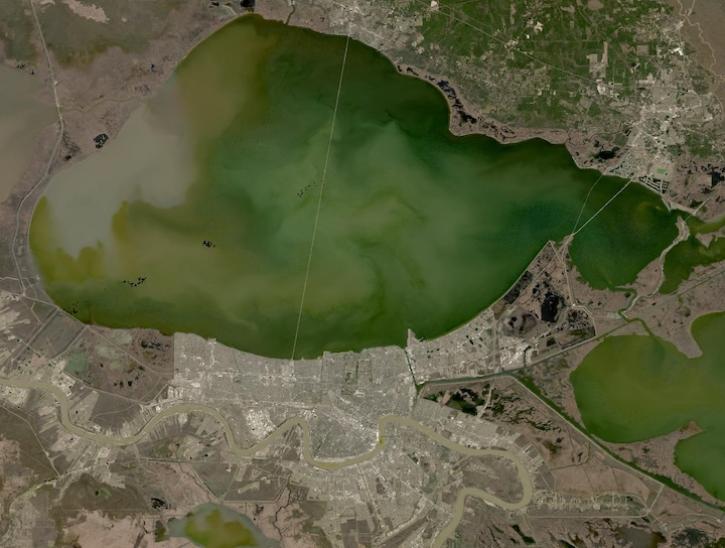
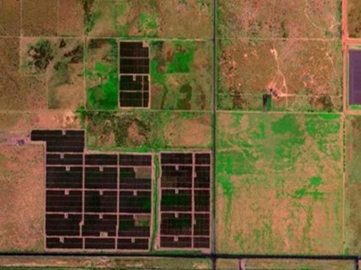
Image captured on February 2, 2025, from the OLI instrument aboard the Landsat 8 satellite.
Worldview Image of the Week
Feb. 6, 2025
A summary of datasets, products, and resources released by NASA’s Distributed Active Archive Centers (DAACs) in January 2025.
News
Feb. 6, 2025

Access a Python-based command-line script to extract the Geolocation Accuracy QA flag from ECOSTRESS version 2 data.
News
Feb. 5, 2025
SHOWING 8 OF 2379