We are in the process of migrating all NASA Earth science data sites into Earthdata from now until end of 2026. Not all NASA Earth science data and resources will appear here until then. Thank you for your patience as we make this transition.
Read about the Web Unification Project
Filters

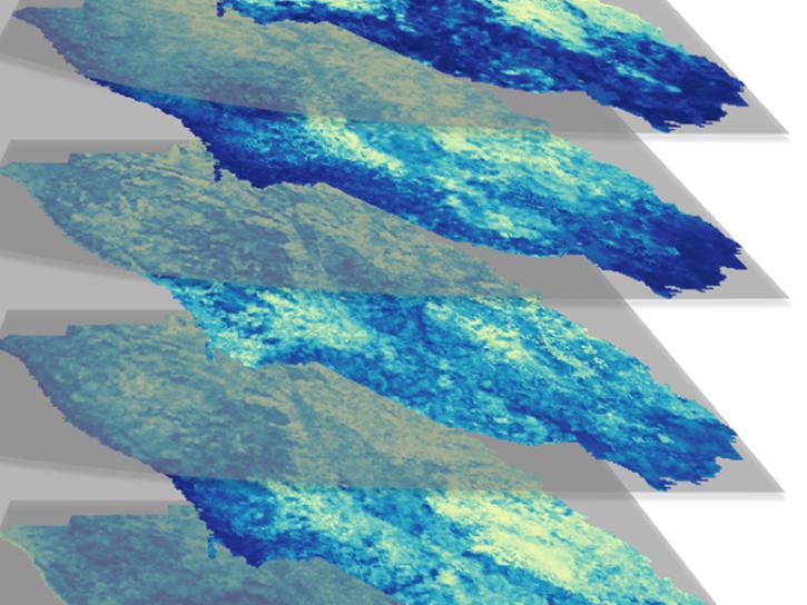
Evaluating the evolution of ocean response to the 2019 Atlantic tropical cyclones.
Data in Action
April 2, 2020

All of our websites and online services remain fully operational.
News
March 20, 2020
Using simulated Global Ecosystem Dynamics Investigation (GEDI) data, a science team predicted bird occurrence probability in California.
Data in Action
March 10, 2020

EOSDIS releases the EOSDIS Handbook with the purpose of describing EOSDIS’s functions, architecture and information model.
News
March 3, 2020

Under the guidance of experienced mentors, summer interns are supporting tasks at the ESDIS Project Office and at EOSDIS DAACs across the country.
News
March 3, 2020

Image captured on 29 October 2018, by the VIIRS instrument, aboard the joint NASA/NOAA Suomi NPP satellite.
Worldview Image of the Week
March 3, 2020

Image captured on 20 July 2015, by the MODIS instrument aboard the Terra satellite.
Worldview Image of the Week
Feb. 28, 2020

Image captured on 7 December 2015 by the MODIS instrument, aboard the Aqua satellite.
Worldview Image of the Week
Feb. 28, 2020
SHOWING 8 OF 2379