We are in the process of migrating all NASA Earth science data sites into Earthdata from now until end of 2026. Not all NASA Earth science data and resources will appear here until then. Thank you for your patience as we make this transition.
Read about the Web Unification Project
Filters
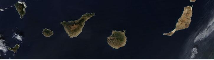
Image captured on 25 January 2016 by the MODIS instrument, aboard the Aqua satellite.
Worldview Image of the Week
Feb. 28, 2020

Image displaying sea surface temperature of the Pacific and Atlantic Oceans for 31 January 2016.
Worldview Image of the Week
Feb. 28, 2020

New features include a preview image and layer description when a layer search is conducted.
Blog
Feb. 27, 2020

Image of surface soil moisture on 24 March 2016 from the Soil Moisture Active Passive (SMAP) satellite.
Worldview Image of the Week
Feb. 26, 2020

Image captured on 6 May 2016 by the VIIRS instrument, aboard the joint NASA/NOAA Suomi NPP satellite.
Worldview Image of the Week
Feb. 26, 2020

Image captured on 20 May 2016 by the VIIRS instrument, aboard the joint NASA/NOAA Suomi NPP satellite.
Worldview Image of the Week
Feb. 26, 2020

Image captured on 29 May 2016 by the VIIRS instrument, aboard the joint NASA/NOAA Suomi NPP satellite.
Worldview Image of the Week
Feb. 26, 2020

Image captured on 17 July 2016 by the VIIRS instrument, aboard the joint NASA/NOAA Suomi NPP satellite.
Worldview Image of the Week
Feb. 26, 2020
SHOWING 8 OF 2379