We are in the process of migrating all NASA Earth science data sites into Earthdata from now until end of 2026. Not all NASA Earth science data and resources will appear here until then. Thank you for your patience as we make this transition.
Read about the Web Unification Project
Filters

Explore how remote sensing is used to study landslide vegetation recovery in China, identify zero curtain effects for permafrost detection, and map geothermal minerals in East Africa.
Data in Action
April 28, 2020

In celebration of Earth Day 2020, NASA's Goddard Space Flight Center/Scientific Visualization Studio created this video for you to learn how you can view and share your home planet with Worldview.
Tutorial
April 22, 2020

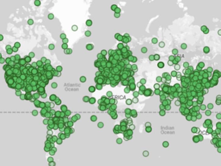
Three new datasets advance our understanding of human-environment interactions.
News
April 16, 2020

In Spring 2019 DEVELOP researchers used VIIRS and other instrument data to create models that provide fine details on drought conditions in Iowa.
Data in Action
April 13, 2020

An updated website at NASA’s Atmospheric Science Data Center (ASDC) makes it even easier to discover, access, and use NASA atmospheric data.
News
April 10, 2020
The Global COVID-19 Viewer may be especially helpful for regional analyses or for countries with limited access to spatial population data.
News
April 10, 2020

Three new datasets show more than 17 years of variations in ice mass and ice mass changes from Antarctica and Greenland as well as global ocean mass change.
News
April 6, 2020
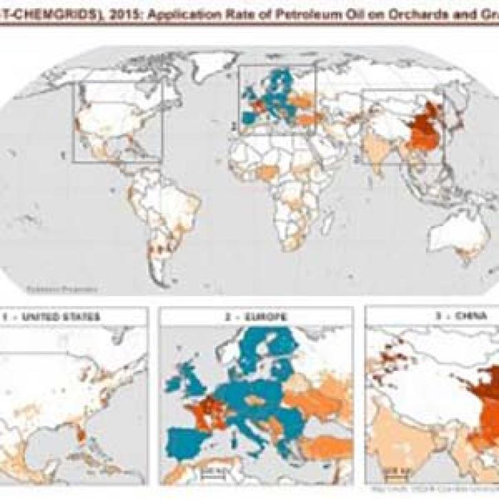
This gridded dataset provides maps and data enabling assessments about the extent and patterns of agricultural pesticide use worldwide.
News
April 3, 2020
SHOWING 8 OF 2379