We are in the process of migrating all NASA Earth science data sites into Earthdata from now until end of 2026. Not all NASA Earth science data and resources will appear here until then. Thank you for your patience as we make this transition.
Read about the Web Unification Project
Filters

Learn how a NASA DEVELOP team helped create models to determine an ideal location for a jaguar corridor using NASA Earth observation data.
Data in Action
May 21, 2020
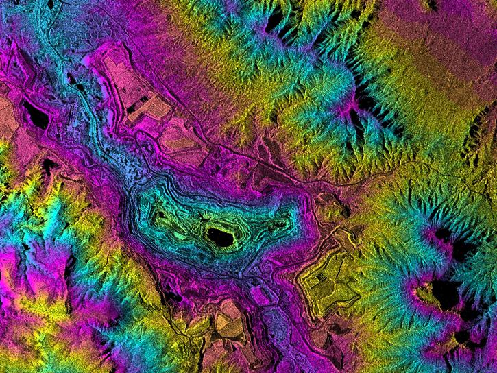
Learn how to view Seasat HDF5 files in Alaska Satellite Facility Distributed Active Archive Center (ASF DAAC) MapReady in this NASA data recipe.
Data Recipe
May 20, 2020

Researchers used NASA satellite data to improve water resource management in South and Southeast Asia.
Data in Action
May 13, 2020
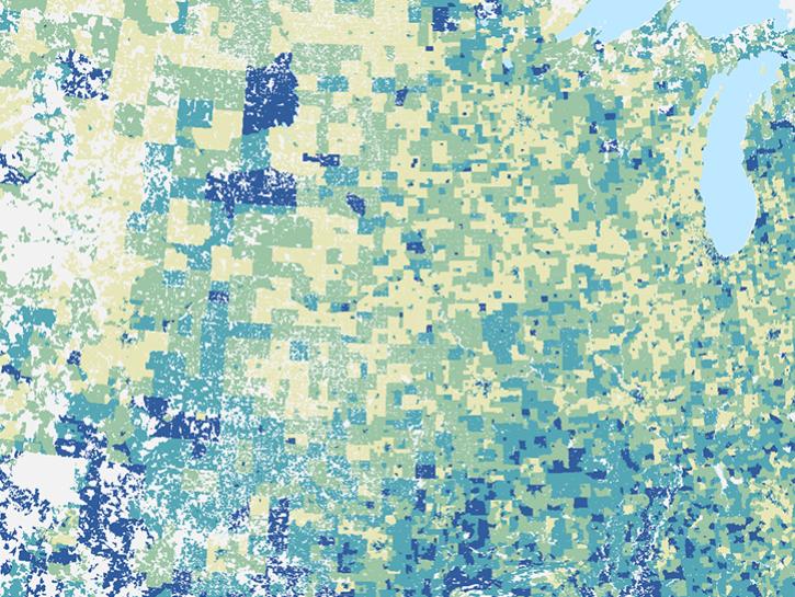
The report reviews population data products from NASA's SEDAC and ORNL DAAC, among others.
News
May 13, 2020
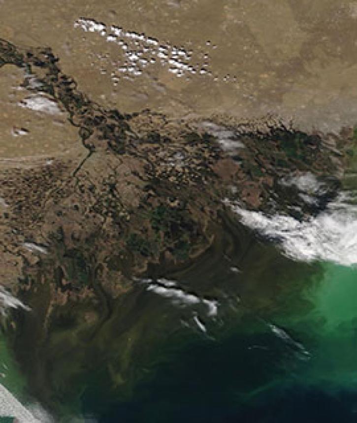
Image captured on 4 May 2020, by the MODIS instrument, aboard the Terra satellite.
Worldview Image of the Week
May 11, 2020

Access Moderate Resolution Imaging Spectroradiometer (MODIS) version 6.1 land data products starting in summer 2020.
News
May 7, 2020
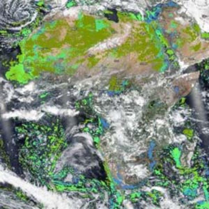
Two new near real-time VIIRS products are available for download in NASA’s Land, Atmosphere Near real-time Capability for EOS (LANCE) and for interactive exploration using NASA Worldview.
News
April 30, 2020

The new dataset enables broad-scale evaluation of the potential for development in 13 sectors to help better manage trade-offs between economic development and the environment.
Feature Article
April 29, 2020
SHOWING 8 OF 2379