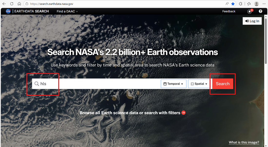
Workflow Outline
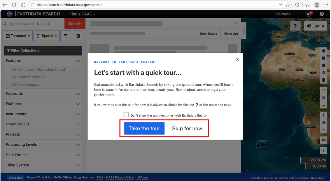
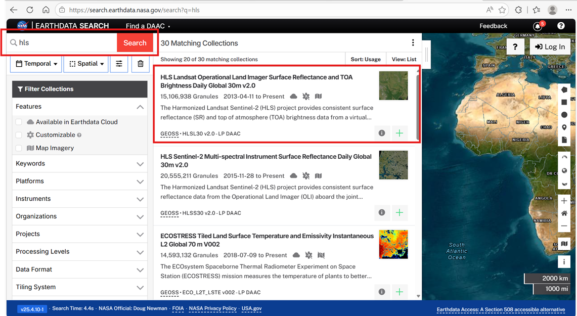
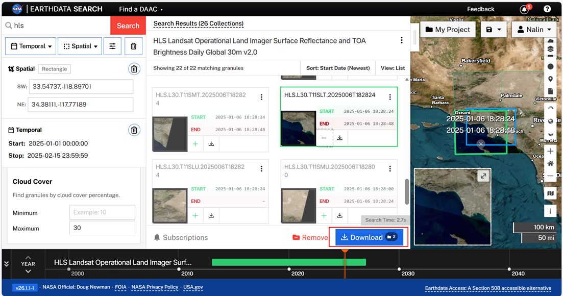
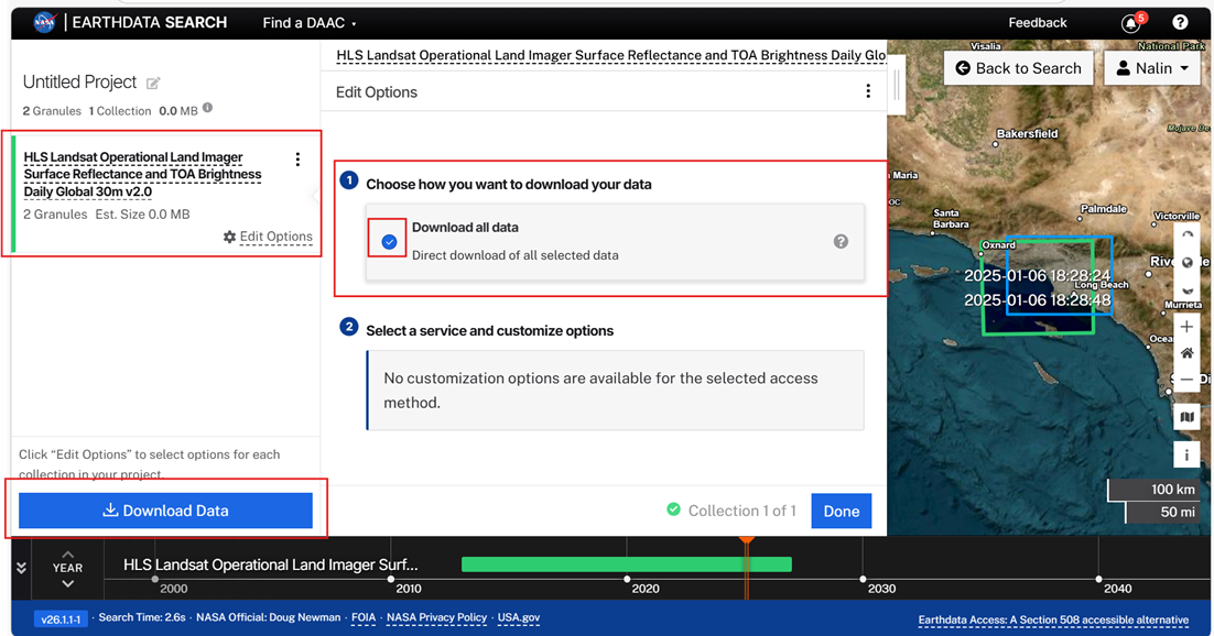
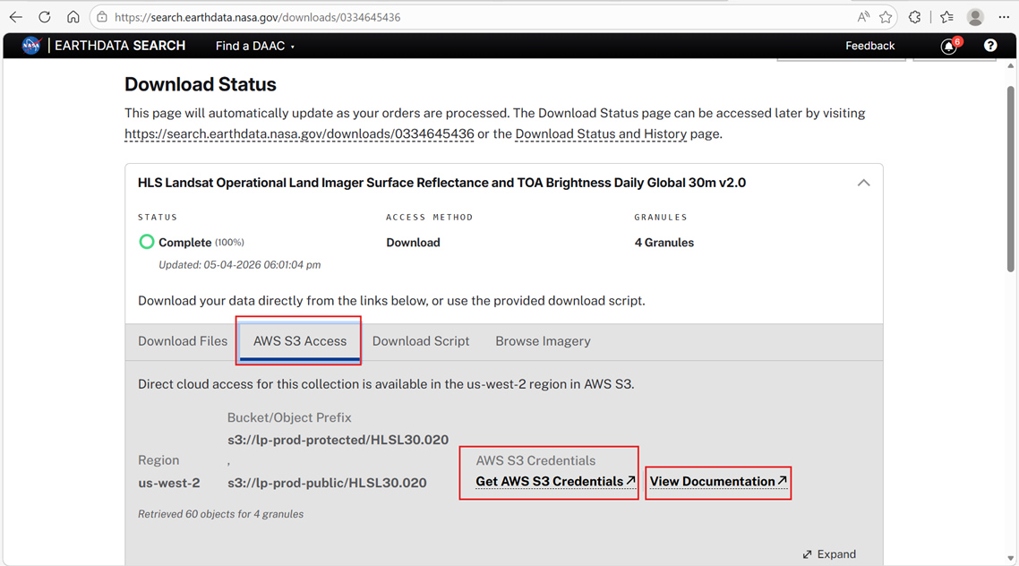
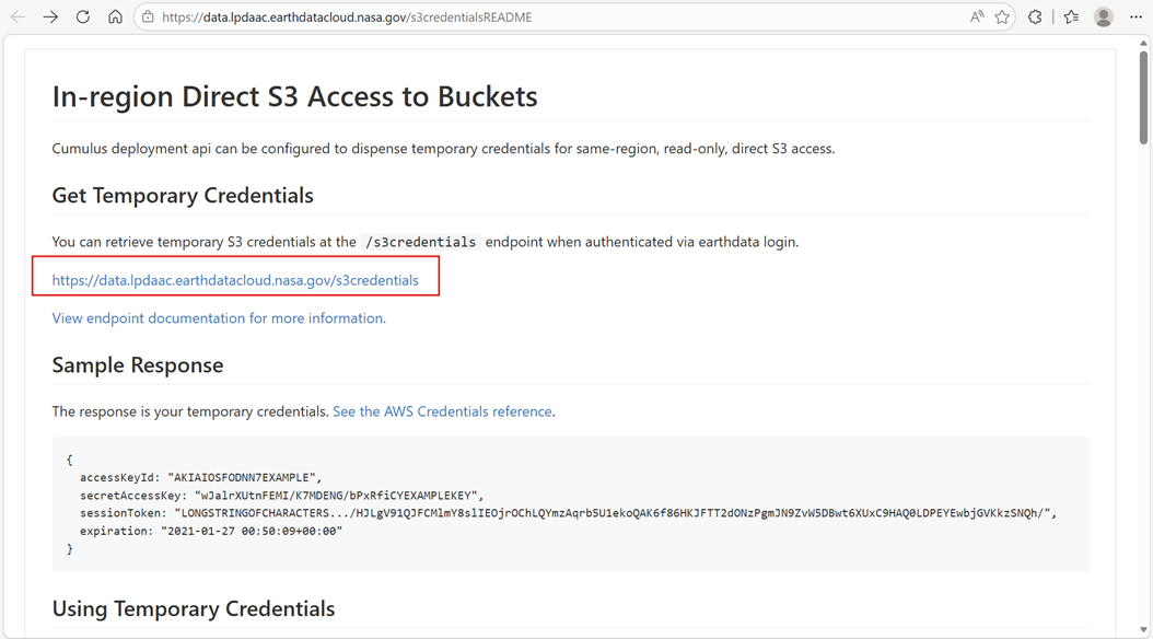
This workflow demonstrates how to securely access Harmonized Landsat and Sentinel-2 (HLS) data directly from the cloud, enabled through two methods of generating temporary Amazon Web Services (AWS) S3 credentials, Earthdata Search results, and the Land Processes Distributed Active Archive Center (LPDAAC) credential endpoint.
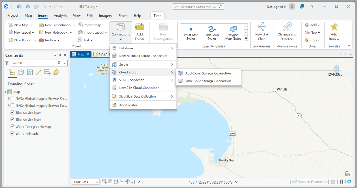
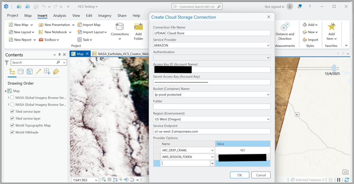
Users will use these temporary credentials (access key, secret key, and session token) to configure a new Cloud Storage Connection in ArcGIS Pro, enabling direct access to NASA's protected cloud storage buckets (lp-prod-protected).
Known Limitations
- Temporary credentials are valid for 1 hour
- Requires an ArcGIS Pro instance to be running on virtual machine installed from an AWS us-west-2 (Oregon) server
- NASA’s requestor pays model limits the ability for any/all users to access data through CSC due to egress costs
Data Used
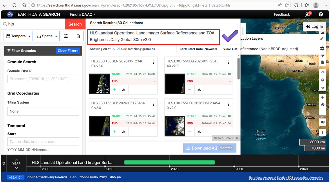
- Collection: HLS Landsat Operational Land Imager Surface Reflectance and TOA Brightness Daily Global 30m v2.0 (HLSL30_2.0)
Tools/Tech Used
- ArcGIS Pro (installed from an AWS us-west-2 Oregon server)