Read the latest news about Plankton, Aerosol, Cloud, ocean Ecosystem (PACE) and access learning resources designed to help you optimize your Earth science research.
PACE Resources
Table of contents
PACE Documents
| Name Sort descending | Description | File Type | Date Published | |
|---|---|---|---|---|
| Demonstrating Fresh and Coastal Water Products from PACE/OCI Proxy Observations | A PowerPoint presentation titled "Demonstrating Fresh and Coastal Water Products from PACE/OCI Proxy Observations." | PPTX (55.86 mb) | May 4, 2023 | |
| PACE Applications Updates | A PowerPoint presentation titled "PACE Applications Updates." | PPTX (69.21 mb) | May 2, 2023 | |
| PACE OCI-AVIRIS Proxy Data | Details on the format and conversion of PACE OCI-AVIRIS proxy data. | PDF (112.6 kb) | Oct. 3, 2016 | |
| PACE SAT Updates | A PowerPoint presentation titled "PACE SAT Updates." | PPTX (35.89 mb) | Oct. 20, 2021 |
PACE Learning Resources
Search for and access OCI data with earthaccess and python.
Data Recipe
Oct. 9, 2026
This ARSET training focuses on the use of InSAR data from NISAR and surface displacement products from OPERA to monitor ground movements.
Training
Nov. 12-19, 2026
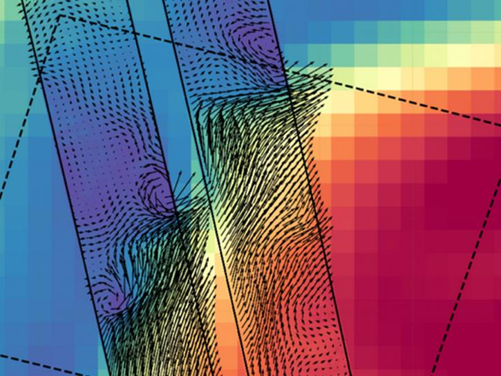
NASA's new Earth-observing satellites map ocean physics and biology just hours apart, marking a leap forward in tracking fast-evolving, small-scale ocean phenomena from space.
Data in Action
Sept. 14, 2026
Esta capacitación de ARSET demuestra el uso de datos de NISAR y productos de aguas superficiales de OPERA para detectar, mapear y monitorear aguas superficiales.
Training
Oct. 20-27, 2026
This ARSET training demonstrates the use of NISAR SAR data and OPERA surface water products to detect, map, and monitor surface water.
Training
Oct. 20-27, 2026
Processing PACE and EMIT Data
This tutorial will demonstrate how to preprocess the EMIT and PACE reflectance data so that they can be used together to investigate science questions. Using the emit_tools and pace_tools modules, the data are orthorectified, geolocated, merged where needed, and resampled onto a common grid, enabling direct comparison of observations from the two sensors.
External Resource
Jupyter Notebook
July 14, 2026
Understanding PACE-PAX's Multidimensional Approach to Validating PACE
StoryMap
Feb. 3, 2026
PACE News
View All News
Filters
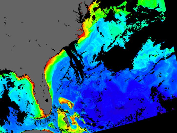
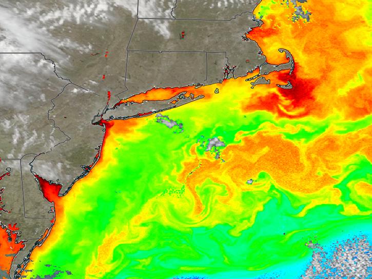
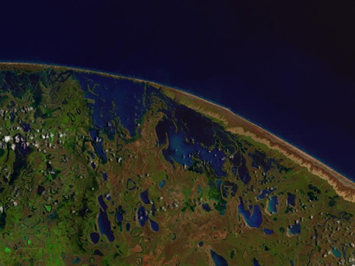
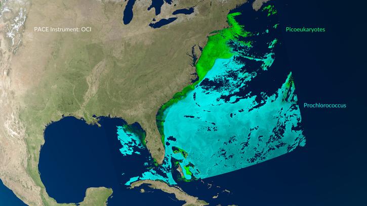
Natural-color imagery and chlorophyll data from the PACE satellite show signs of spring phytoplankton blooms offshore from Norfolk to Cape Cod.
Worldview Image of the Week
April 2, 2026
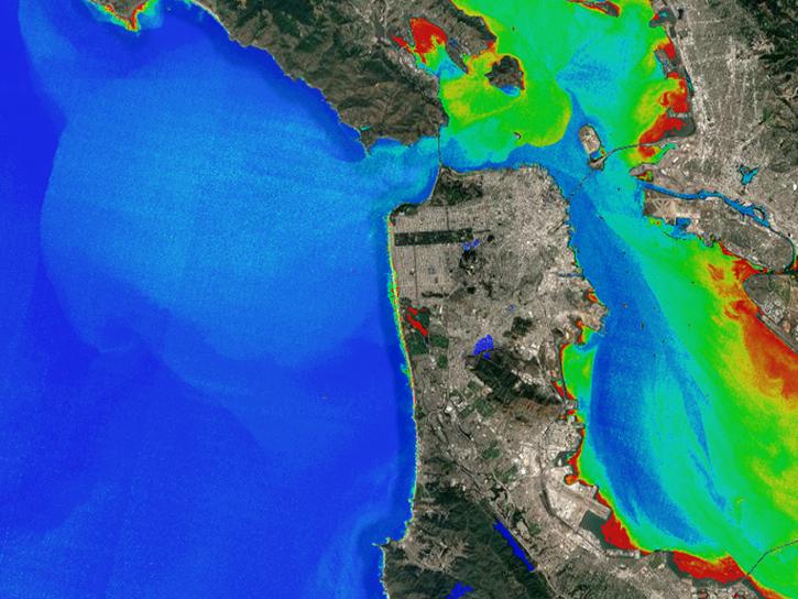
11 PACE data products are now available through NASA's Earthdata Geographic Information Systems imagery services and discoverable via Esri's ArcGIS Living Atlas of the World.
News
Feb. 9, 2026
An upcoming training offered by NASA's ARSET program introduces a web-based platform for monitoring lake and coastal water conditions using satellite data.
News
Dec. 19, 2025
Join us for a two-day webinar covering the fundamentals necessary to work with NASA's high-spectral resolution land-based Earth observation data from NASA's EMIT, ECOSTRESS, and PACE missions.
Event
July 14, 2025
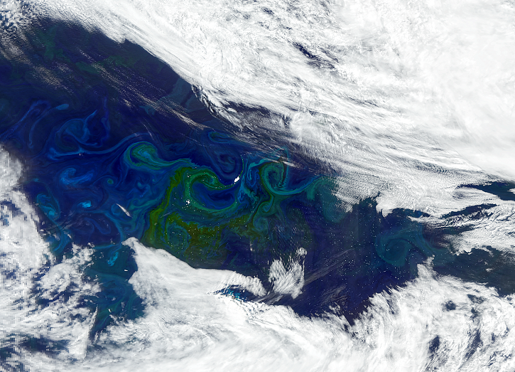
Image captured on Feb 15, 2025, by the OCI instrument aboard the PACE platform.
Worldview Image of the Week
Feb. 20, 2025
The Help Hub hosted by NASA's Ocean Biology Distributed Active Archive Center (OB.DAAC) has been updated with new learning resources for processing ocean color satellite data, working with Plankton, Aerosol, Cloud, ocean Ecosystem (PACE) data, and more.
News
Jan. 15, 2025
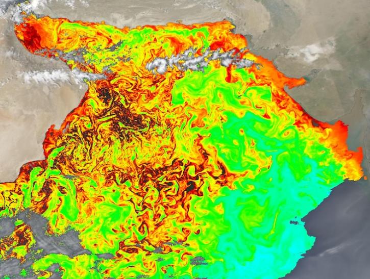
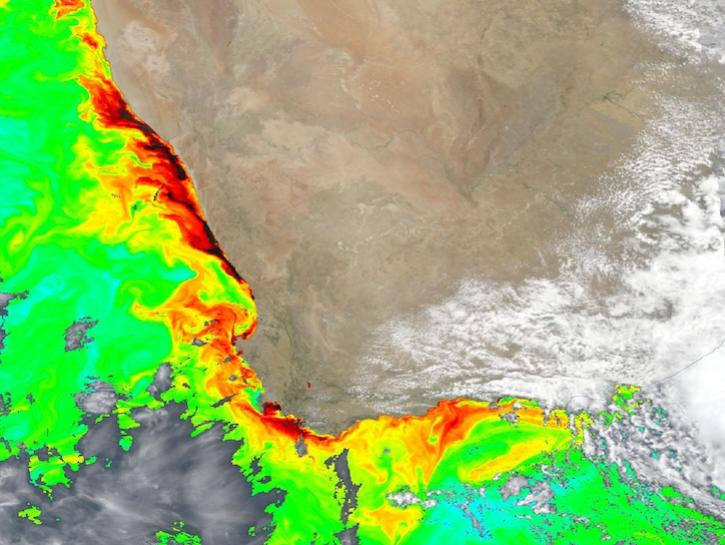
Dark colors indicate high chlorophyll concentrations in this image captured on Oct 22, 2024, by the Ocean Color Instrument (OCI) instrument.
Worldview Image of the Week
Oct. 25, 2024
A series of Jupyter notebook tutorials show how to retrieve and use data from NASA's Plankton, Aerosol, Cloud, ocean Ecosystem (PACE) mission.
News
May 31, 2024
SHOWING 8 OF 14
Get Help
QUESTIONS & SUPPORT
Have a question?
Get help with NASA Earth science data, datasets, tools, services, and metadata on the Earthdata Forum. Experienced staff in the data user community review and answer questions.
Get help on Earthdata ForumEarthdata
Forum
Forum