We are in the process of migrating all NASA Earth science data sites into Earthdata from now until end of 2026. Not all NASA Earth science data and resources will appear here until then. Thank you for your patience as we make this transition.
Read about the Web Unification Project
SMAP L-Band Radar Resources
Earthdata resources for users working with NASA’s Soil Moisture Active Passive (SMAP) L-Band Radar data include tutorials and other learning resources, news announcements such as instrument updates and data releases, user guides and related documents, and frequently asked questions.
SMAP L-Band Radar Learning Resources

The Emergency Environmental Health Dashboard helped local communities assess water quality risks and infrastructure damage following Hurricane Helene and Tropical Storm Chantal.
Data in Action
Nov. 18, 2025
Este webinar ezpresentará una introducción a SAR así como un repaso de las características de los datos de SAR históricos, actuales y futuros.
Training
Nov. 6-20, 2024
This ARSET training provides an introduction to SAR as well as a review of historical, current, and upcoming openly available SAR satellite data.
Training
Nov. 6-20, 2024

Join us to learn more about datasets and tools that enable the harmonization of remote sensing and in situ ecological data products for site-based research.
Webinar
Aug. 22, 2024

This webinar will compare sea surface salinity data collected by the Aquarius and SMAP missions. We will showcase data visualization and data access tools available through NASA's Physical Oceanography Distributed Active Archive Center.
Webinar
April 19, 2022

Remote sensing data's drought-indicating parameters are essential to manage the impact of water scarcities and minimize drought losses.
Data in Action
June 27, 2018

Learn now NASA's Soil Moisture Active Passive (SMAP) satellite and other satellite instruments were used to create a comprehensive chronology of the flood from land to ocean.
Data in Action
Dec. 6, 2016

Learn how the SPURS-2 project aims to better understand key mechanisms responsible for near-surface salinity variations in the ocean.
Data in Action
Aug. 30, 2016
SHOWING 8 OF 9
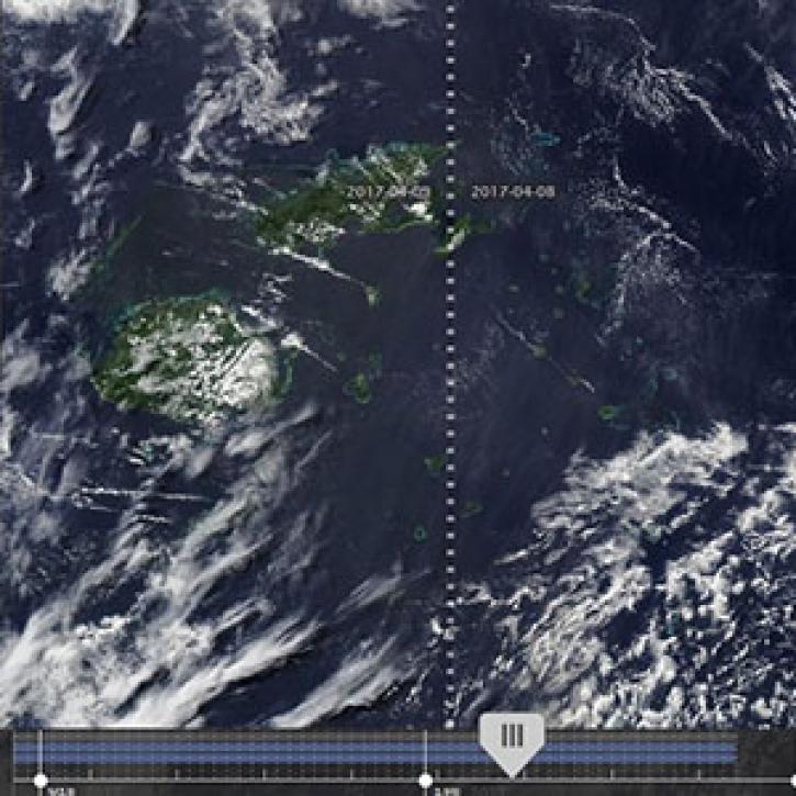
New features in Worldview 1.4.0 (along with new imagery to view using Worldview) allow you to more easily and completely explore the planet using NASA Earth science data.
Feature Article
Nov. 4, 2020

Image of surface soil moisture on 24 March 2016 from the Soil Moisture Active Passive (SMAP) satellite.
Worldview Image of the Week
Feb. 26, 2020

Feature article describing NASA's SMAP mission and the roles that ASF DAAC will play with distributing the SAR data.
News
Feb. 6, 2020

GIBS now has Soil Moisture Active Passive (SMAP) layers available for soil moisture and temperature, snow mass, heterotrophic respiration, and more.
Blog
Feb. 9, 2016
SHOWING 4 OF 16
Frequently Asked Questions
Earthdata Forum
Our online forum provides a space for users to browse thousands of FAQs about research needs, data, and data applications. You can also submit new questions for our experts to answer.
Submit Questions to Earthdata Forumand View Expert Responses