We are in the process of migrating all NASA Earth science data sites into Earthdata from now until end of 2026. Not all NASA Earth science data and resources will appear here until then. Thank you for your patience as we make this transition.
Read about the Web Unification Project
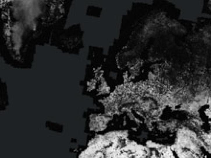
Sentinel-1 C-SAR Resources
Earthdata resources for users working with NASA’s Sentinel-1 C-band Synthetic Aperture Radar data include tutorials and other learning resources, news announcements such as instrument updates and data releases, user guides and related documents, and frequently asked questions.
Sentinel-1 C-SAR Learning Resources
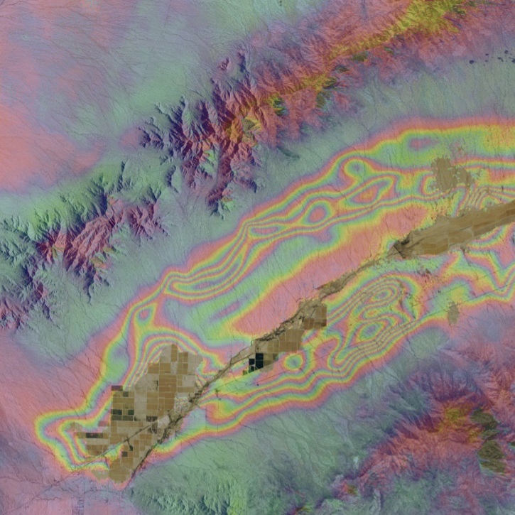
Access enhanced image services for NASA's Global Seasonal Sentinel-1 Interferometric Coherence and Backscatter dataset.
StoryMap
Dec. 1, 2022

Join us as we show new and experienced users how to use Vertex to discover and access Sentinel-1 synthetic aperture radar (SAR) data at NASA's Alaska Satellite Facility (ASF) Distributed Active Archive Center (DAAC).
Webinar
April 15, 2022

Esta capacitación de ARSET cubre técnicas avanzadas de radar usando polarimetría para extraer información de cultivos.
Training
April 12 - May 3, 2022
This ARSET training presents more advanced radar remote sensing techniques using polarimetry to extract crop structural information.
Training
April 12 - May 3, 2022

Get to know on-demand Sentinel-1 InSAR products from NASA’s Alaska Satellite Facility Distributed Active Archive Center (ASF DAAC).
Tutorial
Nov. 16, 2021
Get to know on-demand interferometric synthetic aperture radar (InSAR) products from NASA’s Alaska Satellite Facility Distributed Active Archive Center (ASF DAAC).
StoryMap
Nov. 16, 2021

This ARSET training introduces data, methods, and tools useful for monitoring natural hazards on small island nations.
Training
Aug. 18-26, 2021
Esta capacitación de ARSET introduce datos, métodos y herramientas útiles para monitorear peligros naturales en pequeñas naciones insulares.
Training
Aug. 18-26, 2021
SHOWING 8 OF 57

NASA’s Land, Atmosphere Near real-time Capability for EOS (LANCE) helps scientists like Dr. Glasscoe assess risks and responses to natural hazards on a global scale.
Data User Story
Dec. 8, 2021

Synthetic Aperture Radar (SAR) Data from NASA’s ASF DAAC helps scientists like Dr. Steve Bowman provide Utah’s citizens with timely scientific information about the state’s geologic hazards.
Data User Story
June 29, 2021

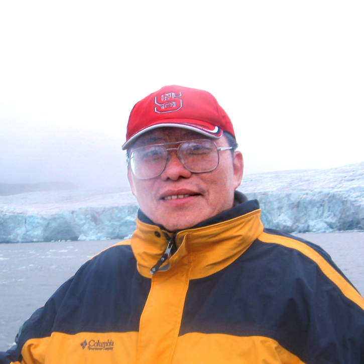
Talking about Synthetic Aperture Radar (SAR) with Dr. Franz Meyer, Chief Scientist, Alaska Satellite Facility (ASF)
Data User Story
May 12, 2021
Who uses NASA Earth science data? Dr. Xiaofeng Li, to study atmospheric and oceanic processes.
Data User Story
April 22, 2021
SHOWING 4 OF 38
Frequently Asked Questions
Earthdata Forum
Our online forum provides a space for users to browse thousands of FAQs about research needs, data, and data applications. You can also submit new questions for our experts to answer.
Submit Questions to Earthdata Forumand View Expert Responses