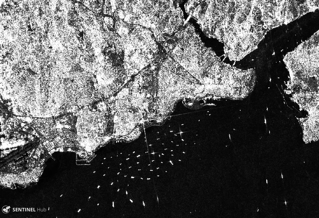
The Synthetic Aperture Radar (SAR) aboard the ESA (European Space Agency's) Sentinel-1A/B satellites provides continuous all-weather, day-and-night imagery at C-band frequencies and operating in four exclusive imaging modes with different spatial resolutions and coverages. SAR is an active data technology where a sensor produces its own energy and then records the amount of that energy reflected back. SAR has the advantage of operating at wavelengths not impeded by cloud cover or a lack of illumination and can acquire data day or night under all weather conditions.
Delivery of Suomi National Polar-orbiting Partnership (Suomi NPP) satellite data products will cease on November 1, 2026. Data users should transition now to alternative products from NOAA-21 and NOAA-20.
Suomi NPP data announcement