We are in the process of migrating all NASA Earth science data sites into Earthdata from now until end of 2026. Not all NASA Earth science data and resources will appear here until then. Thank you for your patience as we make this transition.
Read about the Web Unification Project
Sentinel-1 C-SAR Resources
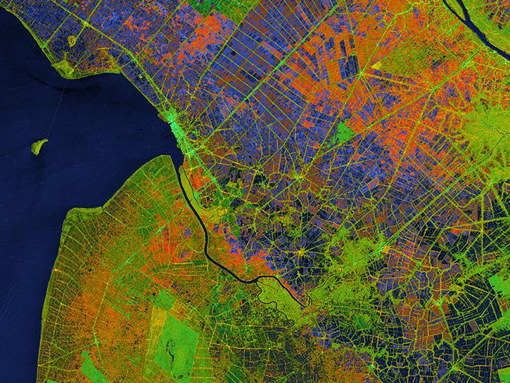
Earthdata resources for users working with NASA’s Sentinel-1 C-band Synthetic Aperture Radar data include tutorials and other learning resources, news announcements such as instrument updates and data releases, user guides and related documents, and frequently asked questions.
Sentinel-1 C-SAR Learning Resources
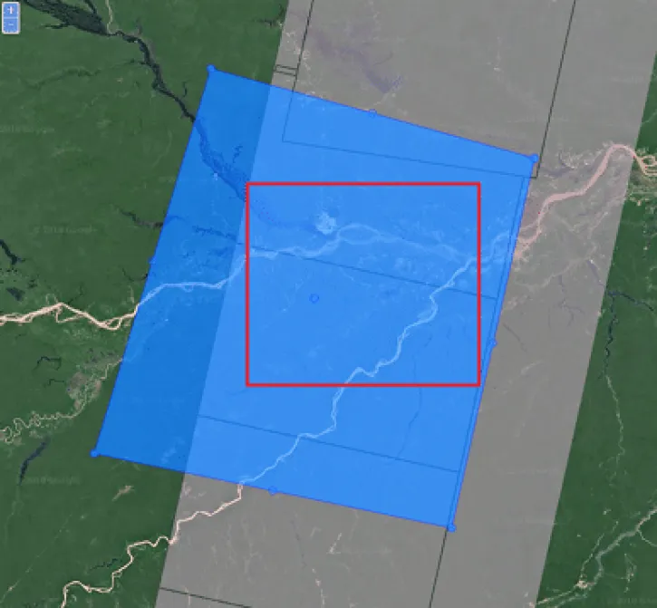
This data recipe reviews the preprocessing steps to accomplish a slice assembly and the subsequent subsetting of the border zone.
Data Recipe
Oct. 2, 2024
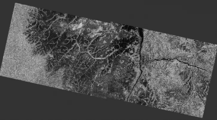
This data recipe reviews the steps to create a mosaic of two Sentinel-1 IW Ground Range Detected (GRD) products in different swaths.
Data Recipe
Oct. 2, 2024
This data recipe shows how to radiometrically terrain correct Sentinel-1A GRD (SAR) data using the Sentinel-1 Toolbox software in the command line.
Data Recipe
Oct. 2, 2024
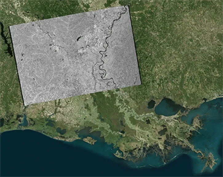
This data recipe shows how to geocode Sentinel-1 GRD products in ArcGIS using the Project Raster tool.
Data Recipe
Oct. 2, 2024
![This image shows Geocoded RGB Composite Image of Bucharest, Romania in Google Earth. Credit: ASF DAAC 2017; Contains modified Copernicus Sentinel data [2015] processed by ESA](https://earthdata.nasa.gov/s3fs-public/styles/hds_generic_card/public/2024-09/rgb-resulting-image.jpg?VersionId=g3VhlSo.o6e0osh0mRBH1pszhjJKgbgX&itok=7pmIc5-N)
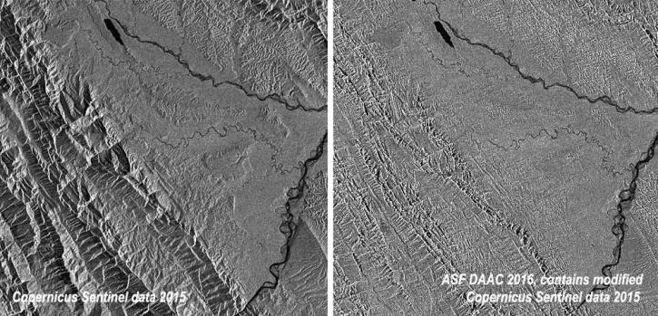
In this data recipe, you will learn how to create a coherence-based multi-temporal color composite of land coverage using the European Space Agency (ESA) Sentinel-1 Toolbox.
Data Recipe
Oct. 2, 2024

Learn how to use the CloudFormation Template to automate the processing of Sentinel-1 radiometrically terrain-corrected (RTC) products.
Data Recipe
Oct. 2, 2024
Learn how to batch-process one or more radiometric terrain correction (RTC) images using the Sentinel-1 Toolbox.
Data Recipe
Oct. 2, 2024
Learn about the water masking option provided by NASA’s Alaska Satellite Facility Distributed Active Archive Center (ASF DAAC) for on-demand Sentinel-1 interferometric synthetic aperture radar (InSAR).
StoryMap
Aug. 23, 2024
SHOWING 8 OF 57

NASA’s Land, Atmosphere Near real-time Capability for EOS (LANCE) helps scientists like Dr. Glasscoe assess risks and responses to natural hazards on a global scale.
Data User Story
Dec. 8, 2021

Synthetic Aperture Radar (SAR) Data from NASA’s ASF DAAC helps scientists like Dr. Steve Bowman provide Utah’s citizens with timely scientific information about the state’s geologic hazards.
Data User Story
June 29, 2021

Talking about Synthetic Aperture Radar (SAR) with Dr. Franz Meyer, Chief Scientist, Alaska Satellite Facility (ASF)
Data User Story
May 12, 2021

Who uses NASA Earth science data? Dr. Xiaofeng Li, to study atmospheric and oceanic processes.
Data User Story
April 22, 2021
SHOWING 4 OF 38
Frequently Asked Questions
Earthdata Forum
Our online forum provides a space for users to browse thousands of FAQs about research needs, data, and data applications. You can also submit new questions for our experts to answer.
Submit Questions to Earthdata Forumand View Expert Responses