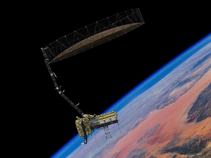
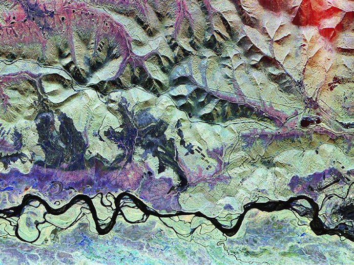
Earthdata resources for users working with the data provided by the L-band synthetic aperture radar (L-SAR) aboard the NASA/Indian Space Research Organization SAR (NISAR) platform include tutorials and other learning resources, news announcements such as instrument updates and data releases, user guides and related documents, and frequently asked questions.
L-SAR Resources
Table of contents
L-SAR Learning Resources
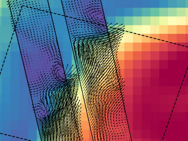
This ARSET training focuses on the use of InSAR data from NISAR and surface displacement products from OPERA to monitor ground movements.
Training
Nov. 12-19, 2026
NASA's new Earth-observing satellites map ocean physics and biology just hours apart, marking a leap forward in tracking fast-evolving, small-scale ocean phenomena from space.
Data in Action
Sept. 14, 2026
Esta capacitación de ARSET demuestra el uso de datos de NISAR y productos de aguas superficiales de OPERA para detectar, mapear y monitorear aguas superficiales.
Training
Oct. 20-27, 2026
This ARSET training demonstrates the use of NISAR SAR data and OPERA surface water products to detect, map, and monitor surface water.
Training
Oct. 20-27, 2026
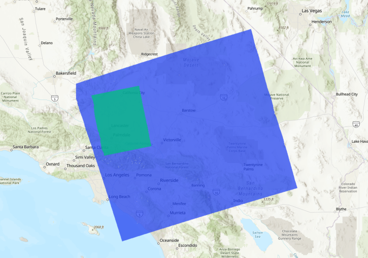
Methods for reducing the spatial extent of NISAR products using data from NASA's Alaska Satellite Facility Distributed Active Archive Center (ASF DAAC).
StoryMap
June 4, 2026
This ARSET training introduces users to the characteristics and data of the NISAR mission and demonstrates workflows for accessing, visualizing, and analyzing the data for a range of applications.
Training
July 2-16, 2026
This three-part ARSET training covers flood monitoring via remote sensing, NASA flood products, and GEOGLOWS streamflow predictions.
Training
June 18-25, 2026
Join us on Jan. 21, 2026, to explore how NISAR will revolutionize how we monitor Earth.
Webinar
Jan. 12, 2026
Starting October 1, 2026, some historical ASF SAR datasets will no longer be available through the regular ASF search and download tools.
News
Oct. 2, 2026
August 2026 marks 35 years since the first downlink of synthetic aperture radar data to the Alaska SAR Facility. ASF has supported many missions and archived many Earth observations since then.
Blog
Aug. 17, 2026
Produced by NASA JPL for the NISAR mission, these data products give researchers a new way to observe changes across Earth’s surface.
News
July 21, 2026
The TiTiler-CMR service generates dynamic, on-demand map tile layers that can be incorporated into GIS software and visualization applications. Two NASA mapping applications – Worldview and FIRMS – have harnessed the versatility of this service.
Feature Article
April 29, 2026
Get Help
QUESTIONS & SUPPORT
Have a question?
Get help with NASA Earth science data, datasets, tools, services, and metadata on the Earthdata Forum. Experienced staff in the data user community review and answer questions.
Get help on Earthdata ForumEarthdata
Forum
Forum