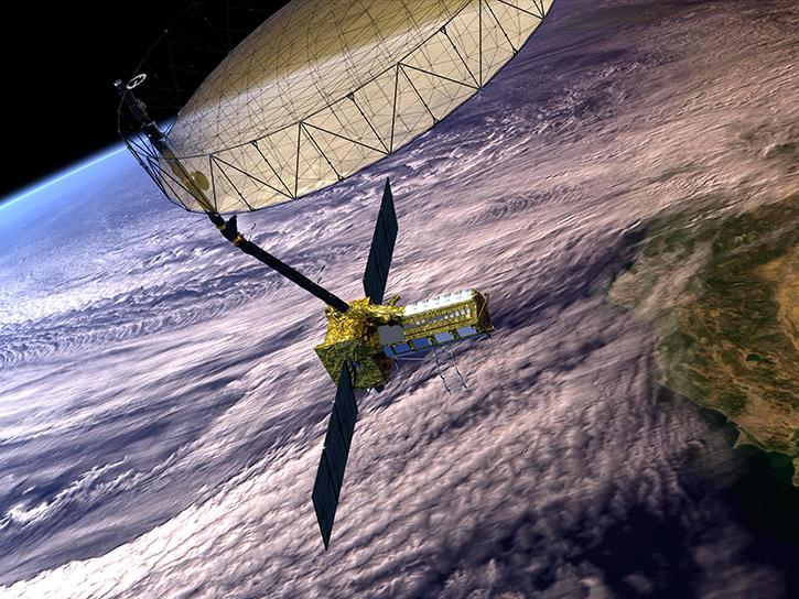
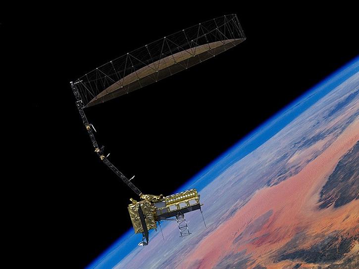
Earthdata resources for users working with the data provided by the L-band synthetic aperture radar (L-SAR) aboard the NASA/Indian Space Research Organization SAR (NISAR) platform include tutorials and other learning resources, news announcements such as instrument updates and data releases, user guides and related documents, and frequently asked questions.
We are in the process of migrating all NASA Earth science data sites into Earthdata from now until end of 2026. Not all NASA Earth science data and resources will appear here until then. Thank you for your patience as we make this transition.
Read about the Web Unification Project