We are in the process of migrating all NASA Earth science data sites into Earthdata from now until end of 2026. Not all NASA Earth science data and resources will appear here until then. Thank you for your patience as we make this transition.
Read about the Web Unification Project
Earthquakes News
Articles, resources, and announcements from Earthquakes.

The Global Navigation Satellite System (GNSS) enables the precise location of points on Earth’s surface. For geodesists like Dr. Herring, it also is a key geodetic technique for his studies of surface deformation processes.
Data User Story
Jan. 7, 2021

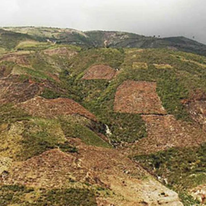
Science and relief efforts come together in the aftermath of the 2005 Kashmir earthquake.
Feature Article
Dec. 28, 2020


Synthetic aperture radar data and scientists in detecting the ground deformation associated with earthquakes and volcanic eruptions.
Feature Article
Dec. 28, 2020

The major earthquake in Haiti shifts thinking about disaster planning.
Feature Article
Dec. 28, 2020

When the ground moves, Global Positioning System satellites and receivers capture the moment.
Feature Article
Dec. 27, 2020
SHOWING 8 OF 21