Access a range of datasets and data tools to further your earthquake research.
While earthquakes are only the third most common natural disaster, they kill the greatest number of people. Earthquakes cannot be accurately predicted, yet scientists and decision makers still seek to understand relative fault activity, earthquake likelihood, population vulnerability, exposure, and risk to aid in response and relief.
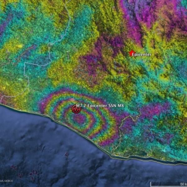
NASA’s Earth-observing satellites capture data that show how earthquakes alter the landscape and deform the planet’s surface. Satellite images of other phenomena, such as nighttime lights, can also track the effect of earthquakes on communities and cities. Additionally, NASA curates socioeconomic surveys to get a clearer picture of the health, economic, and agricultural impacts of earthquakes.
Our data useful to the study of earthquakes include geodetic imaging of land surface deformation, earthquake hazard distribution surveys, and topographic change maps. Many of these products are global in scope, helping researchers pinpoint earthquake risks around the world.
Learn How to Use Earthquakes Data
Join Our Community of NASA Data Users
While NASA data are openly available without restriction, an Earthdata Login is required to download data and to use some tools with full functionality.
Learn About the Benefits of Earthdata LoginGet Help
QUESTIONS & SUPPORT
Get help with NASA Earth science data, datasets, tools, services, and metadata on the Earthdata Forum. Experienced staff in the data user community review and answer questions.
Get help on Earthdata ForumForum