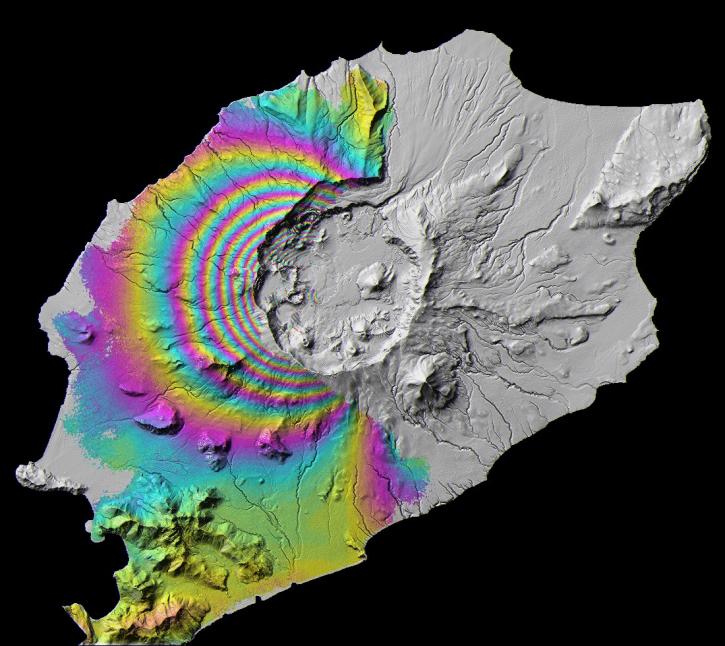
| ALOS PALSAR High Resolution Radiometric Terrain Corrected Product |
1 |
ALOS |
PALSAR |
2006-03-23 to 2011-04-22 |
N: 90
S: -90
E: 180
W: -180
|
|
|
| ALOS PALSAR Level 1.0 Product |
1 |
ALOS |
PALSAR |
2006-03-23 to 2011-04-22 |
N: 90
S: -90
E: 180
W: -180
|
|
|
| ALOS PALSAR Level 1.1 Product |
1 |
ALOS |
PALSAR |
2006-01-23 to 2011-05-23 |
N: 90
S: -90
E: 180
W: -180
|
|
|
| ALOS PALSAR Level 1.5 Product |
1 |
ALOS |
PALSAR |
2006-03-23 to 2011-04-22 |
N: 90
S: -90
E: 180
W: -180
|
|
|
| ALOS PALSAR Level 2.2 Product |
1 |
ALOS |
PALSAR |
2006-01-23 to 2011-05-23 |
N: 90
S: -90
E: 180
W: -180
|
|
|
| ALOS PALSAR Low Resolution Radiometric Terrain Corrected Product |
1 |
ALOS |
PALSAR |
2006-03-23 to 2011-04-22 |
N: 90
S: -90
E: 180
W: -180
|
|
|
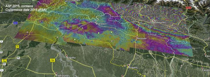
| ARIA Sentinel-1 Geocoded Unwrapped Interferograms |
1 |
Sentinel-1A, Sentinel-1B, Sentinel-1C |
C-SAR |
2014-06-15 to Present |
N: 90
S: -90
E: 180
W: -180
|
|
netCDF-4, PNG, JSON |
| CDDIS MEaSUREs SESES products High-rate Earthquake Displacement |
1 |
GLONASS, GPS, GROUND STATIONS |
GLONASS RECEIVERS, GPS, GNSS RECEIVER |
1992-01-01 to Present |
N: 90
S: -90
E: 180
W: -180
|
|
text, image, metadata, and binary data files |
| CDDIS MEaSUREs SESES products Plate Boundary Aseismic Transient Deformation |
1 |
GLONASS, GPS, GROUND STATIONS |
GLONASS RECEIVERS, GPS, GNSS RECEIVER |
1992-01-01 to Present |
N: 90
S: -90
E: 180
W: -180
|
|
ASCII, PDF |
| CDDIS MEaSUREs SESES products weekly displacement grids time series |
1 |
GLONASS, GPS, GROUND STATIONS |
GLONASS RECEIVERS, GPS, GNSS RECEIVER |
1992-01-01 to Present |
N: 90
S: -90
E: 180
W: -180
|
|
netCDF, PDF, MP4 |
| China Dimensions Data Collection: China Maps Bibliographic Database |
1.00 |
MODELS |
Computer |
1765-01-01 to 1994-12-31 |
|
|
MDB |
| Combined GPS Broadcast Ephemeris Data (30-second sampling, hourly files) from NASA CDDIS |
1 |
Beidou, Galileo, GLONASS, GPS, GROUND STATIONS, QZSS, IRNSS, SBAS |
Beidou P, Galileo P, GLONASS P, GPSP, GNSS, QZSS P, IRNSS P, SBAS P |
1992-01-01 to Present |
N: 90
S: -90
E: 180
W: -180
|
|
RINEX |
| Doppler Orbitography and Radiopositioning Integrated by Satellite (DORIS) Data and Products Supporting Information from NASA CDDIS |
1 |
OSTM/JASON-2, GROUND STATIONS, CRYOSAT-2, SENTINEL-3A, SARAL, HY2-A, JASON-3 |
DORIS, DORIS GROUND STATION BEACON |
1992-01-01 to Present |
N: 90
S: -90
E: 180
W: -180
|
|
ASCII |
| Earth Orientation Parameters (EOP) products from the International Earth Rotation and Reference Systems Service (IERS) Rapid Service Prediction Center (RSPC) at the US Naval Observatory (USNO, updated sub-daily) from NASA CDDIS |
1 |
SATELLITES |
VLBI, SLR, GPS, DORIS |
1973-01-01 to Present |
N: 90
S: -90
E: 180
W: -180
|
|
eop |
| ERS-1 Level 0 Product |
1 |
ERS-1 |
SAR |
1991-08-08 to 1997-09-29 |
N: 90
S: -90
E: 180
W: -180
|
|
|
| ERS-1 Level 1 Product |
1 |
ERS-1 |
SAR |
1991-08-08 to 1997-09-29 |
N: 90
S: -90
E: 180
W: -180
|
|
|
| ERS-2 Level 0 Product |
1 |
ERS-2 |
SAR |
1995-10-01 to 2011-07-04 |
N: 90
S: -90
E: 180
W: -180
|
|
|
| ERS-2 Level 1 Product |
1 |
ERS-2 |
SAR |
1995-10-01 to 2011-07-04 |
N: 90
S: -90
E: 180
W: -180
|
|
|
| General Archive Information from NASA CDDIS |
1 |
GROUND STATIONS |
GNSS, SLR Station, VLBI Station, DORIS GROUND STATION BEACON |
1976-01-01 to Present |
N: 90
S: -90
E: 180
W: -180
|
|
ASCII |
| Geocoded Disasters (GDIS) Dataset |
1.00 |
MODELS |
Computer |
1960-01-01 to 2018-12-31 |
N: 90
S: -58
E: 180
W: -180
|
|
CSV, Geodatabase, GeoPackage, RData, PDF, PDF, PNG |
| Global Earthquake Hazard Distribution - Peak Ground Acceleration |
1.0 |
MODELS |
Computer |
1976-01-01 to 2002-12-31 |
N: 85
S: -58
E: 180
W: -180
|
0.0417 Decimal Degrees x 0.0417 Decimal Degrees |
ASCII, PDF, PNG, WMS |
| Global Earthquake Hazard Frequency and Distribution |
1.0 |
MODELS |
Computer |
1976-01-01 to 2002-12-31 |
N: 85
S: -58
E: 180
W: -180
|
0.0417 Decimal Degrees x 0.0417 Decimal Degrees |
ASCII, PDF, PNG, WMS |
| Global Earthquake Mortality Risks and Distribution |
1.0 |
MODELS |
Computer |
2000-01-01 to 2000-12-31 |
N: 85
S: -58
E: 180
W: -180
|
0.0417 Decimal Degrees x 0.0417 Decimal Degrees |
ASCII, DBF, PDF, PNG, WMS |
| Global Earthquake Proportional Economic Loss Risk Deciles |
1.0 |
MODELS |
Computer |
2000-01-01 to 2000-12-31 |
N: 86
S: -58
E: 180
W: -180
|
0.0417 Decimal Degrees x 0.0417 Decimal Degrees |
ASCII, PDF, PNG, WMS |
| Global Earthquake Total Economic Loss Risk Deciles |
1.0 |
MODELS |
Computer |
2000-01-01 to 2000-12-31 |
N: 86
S: -58
E: 180
W: -180
|
0.0417 Decimal Degrees x 0.0417 Decimal Degrees |
ASCII, DBF, PDF, PNG, WMS |