We are in the process of migrating all NASA Earth science data sites into Earthdata from now until end of 2026. Not all NASA Earth science data and resources will appear here until then. Thank you for your patience as we make this transition.
Read about the Web Unification Project
Land Use/Land Cover News
Articles, resources, and announcements from Land Use/Land Cover.
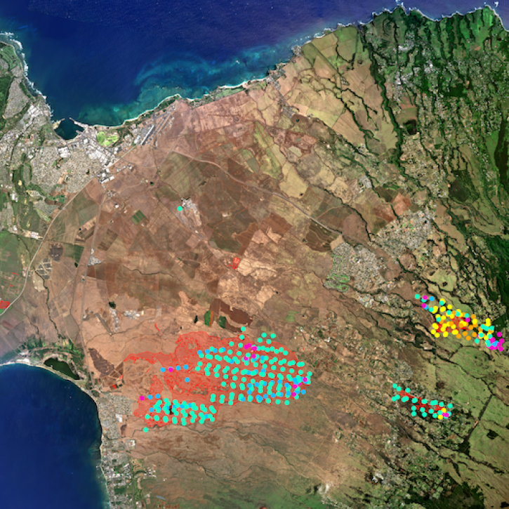
The project, described as a “breakthrough for fire mapping from space,” is producing high resolution maps to help guide post-fire recovery and remediation efforts.
News
Sept. 7, 2023
Users can now access the full Harmonized Landsat and Sentinel-2 (HLS) data archive back to April 2013.
News
Sept. 6, 2023

Based on NASA's Harmonized Landsat Sentinel-2 (HLS) data, the artificial intelligence (AI) foundation model is a milestone in the application of AI for Earth science.
News
Aug. 3, 2023

Data from NASA’s Land Processes DAAC help Dr. Helen Poulos understand climate-induced change in the forests of the Southwestern U.S.
Data User Story
May 25, 2023

ROSES-2023 solicits proposals for membership on the NASA EMIT Science and Applications Team.
News
April 17, 2023

Image captured on Apr 2, 2022 by the MSI instrument aboard ESA's Sentinel-2A and Sentinel-2B satellites.
Worldview Image of the Week
May 19, 2022

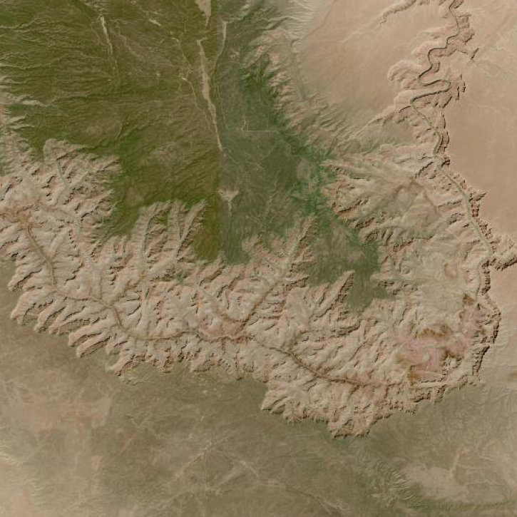
Image captured on Mar 24, 2022 by the OLI instrument aboard the Landsat 8 satellite.
Worldview Image of the Week
May 19, 2022

Launched September 27, Landsat 9 will provide a high-quality and reliable stream of land imaging data for the next 10-plus years.
Feature Article
Jan. 31, 2022
SHOWING 8 OF 81