Delivery of new Suomi NPP data ceases on Nov. 2, 2026. Users should transition to alternative products.
Suomi NPP data announcement
Wildfires Learning Resources
Webinars, tutorials, data recipes and more to help you work with Wildfires.
Filters
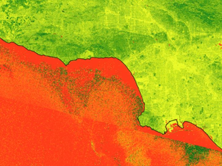
This workflow demonstrates how to discover, filter, and download HLS imagery using NASA Earthdata Search.
Tutorial
Sept. 23, 2026
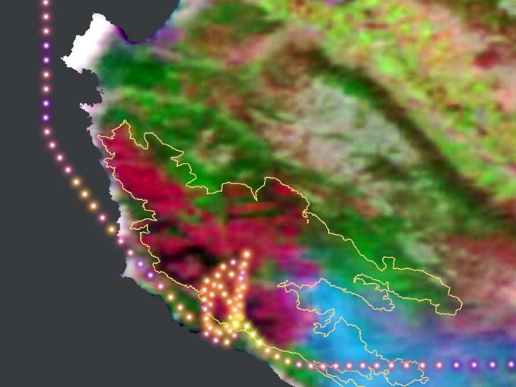
During this 2016 fire in California, the Alpha Jet Atmospheric eXperiment team collected data on ozone, formaldehyde, methane, and carbon dioxide.
StoryMap
June 5, 2026
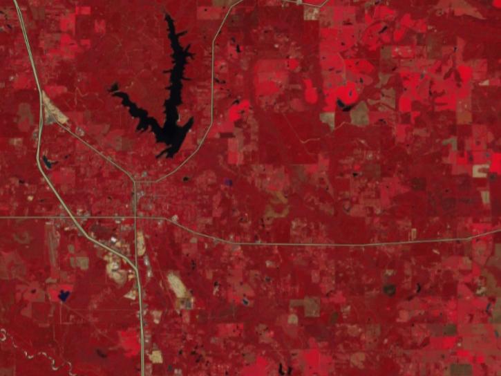
FIRMS has incorporated additional capabilities into the HLS dropdown menu of its interactive map, including four vegetation indices and the ability for user to create their own red, green, blue (RGB) image composites through the TiTiler-CMR service.
Tutorial
April 29, 2026
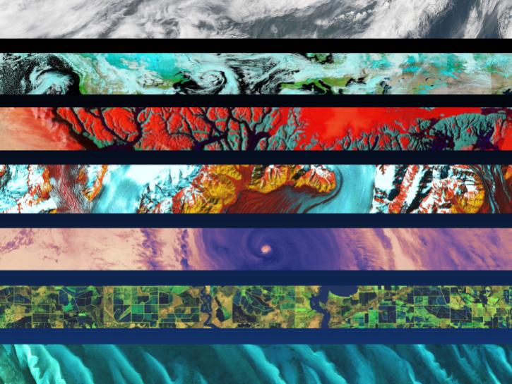
Comparison of TEMPO UVAI vs DSCOVR EPIC UVAI
This notebook illustrates a comparison of ultra-violet aerosol index (UVAI) between the Tropospheric Emissions: Monitoring of Pollution (TEMPO) instrument and DSCOVR EPIC UVAI.
External Resource
Jupyter Notebook
April 10, 2026
This ARSET training highlights satellite remote sensing data useful for local fire managers.
Training
July 12-19, 2018
This ARSET training introduces participants to several capabilities within FIRMS that were not included in the previous ARSET training.
Training
Jan. 14-21, 2026
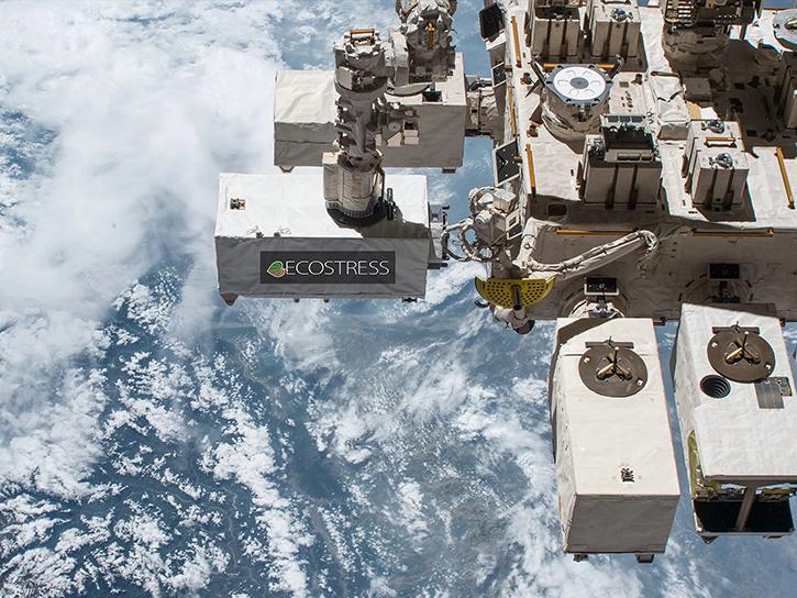
Learn how ECOSTRESS data may significantly improve wildfire prediction by capturing drought signals that precede wildland fire events.
Data in Action
Sept. 25, 2025
Esta capacitación de ARSET ofrece a los participantes una introducción a los diferentes módulos de FIRMS.
Training
July 9-23, 2025
SHOWING 8 OF 38
Get Help
QUESTIONS & SUPPORT
Have a question?
Get help with NASA Earth science data, datasets, tools, services, and metadata on the Earthdata Forum. Experienced staff in the data user community review and answer questions.
Get help on Earthdata ForumEarthdata
Forum
Forum