We are in the process of migrating all NASA Earth science data sites into Earthdata from now until end of 2026. Not all NASA Earth science data and resources will appear here until then. Thank you for your patience as we make this transition.
Read about the Web Unification Project
Wildfires Learning Resources
Webinars, tutorials, data recipes and more to help you work with Wildfires.
Filters
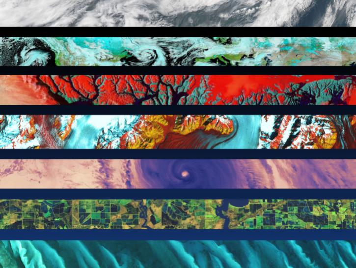
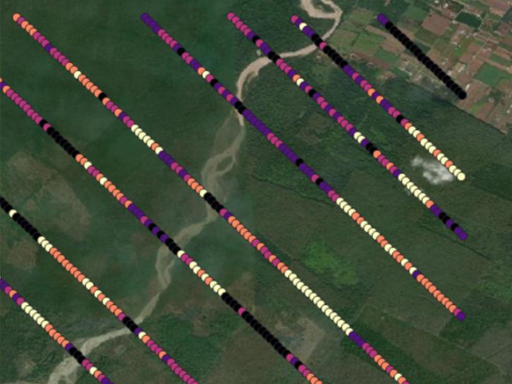
Read publication highlights that detail how ECOSTRESS data reveals water use efficiency patterns, GEDI enables precise forest carbon mapping, and moisture measurements improve wildfire prediction and management.
Data in Action
Aug. 25, 2022

Through NASA FIRMS, users can interactively view fire data via the Fire Map, search for both VIIRS and MODIS active fires/hotspots and sign-up to receive automated Fire Email Alerts for their geographic areas of interest. Join us to learn more!
Webinar
April 19, 2022
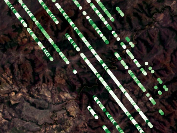
Read highlights of three publications that detail how NASA Earth observation data are used to map wildfire fuel loads, analyze volcanic ash composition, and improve soil respiration models in agricultural systems.
Data in Action
March 15, 2022

This ARSET training reviews pre-fire risk assessment and post-fire mapping using open-source tools like Google Earth Engine.
Training
Jan. 18-20, 2022
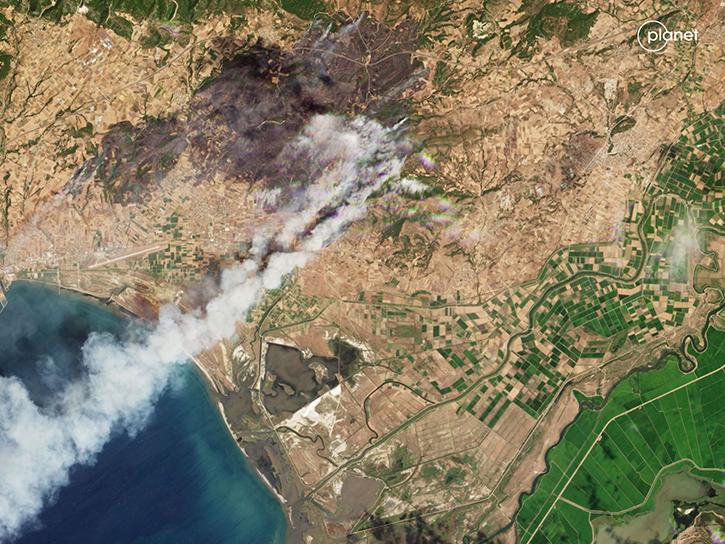
This demonstrates how to ingest FIRMS fire data provided as Web Feature Services (WFS) into ArcGIS Desktop v10.7.1 and custom modify symbols, colors and size.
Tutorial
Sept. 28, 2021
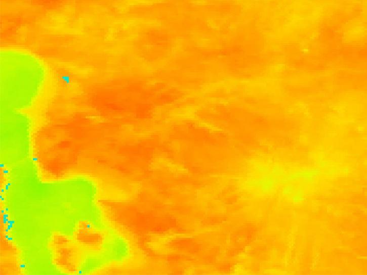
Read highlights of three publications that detail how NASA Earth observation data informs earthquake prediction, the effects of wildfires on vegetation, and the impact of agriculture on African birds.
Data in Action
July 19, 2021
Esta capacitación de ARSET cubre el uso de observaciones terrestres para el monitoreo operativo de incendios.
Training
May 11-27, 2021
SHOWING 8 OF 37
Frequently Asked Questions
Earthdata Forum
Our online forum provides a space for users to browse thousands of FAQs about research needs, data, and data applications. You can also submit new questions for our experts to answer.
Submit Questions to Earthdata Forumand View Expert Responses