We are in the process of migrating all NASA Earth science data sites into Earthdata from now until end of 2026. Not all NASA Earth science data and resources will appear here until then. Thank you for your patience as we make this transition.
Read about the Web Unification Project
Environmental Governance/Management News
Articles, resources, and announcements from Environmental Governance/Management.

This training offered by NASA's Applied Remote Sensing Training (ARSET) program covers applicable data sources for assessing groundwater change.
News
March 9, 2026

This training offered by NASA's ARSET program demonstrates how to use NASA data to understand land cover and land use change.
News
Dec. 29, 2025

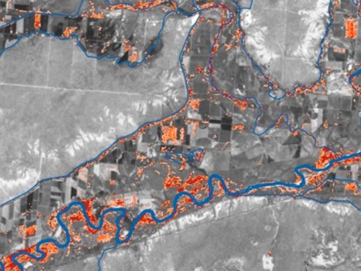
Researchers used data from the GRACE/GRACE-FO platform to estimate that the region has lost a combined 34 cubic kilometers of groundwater since 2002.
Feature Article
Dec. 5, 2025

Researchers used the Emergency Environmental Health Dashboard, which leverages NASA's record of satellite imagery, to assess post-storm impacts to water systems and private wells.
News
Nov. 18, 2025
The addition of HLS data to Azure provides a foundation for next-generation Earth observation capabilities.
Blog
Sept. 30, 2025
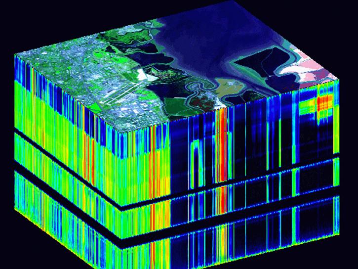
This training, offered by NASA's ARSET program, covers the basics of hyperspectral remote sensing applications.
News
Sept. 19, 2025
This training, offered by NASA's Applied Remote Sensing Training (ARSET) program, explores airborne and in-situ field data applications for invasive species mapping.
News
Sept. 11, 2025

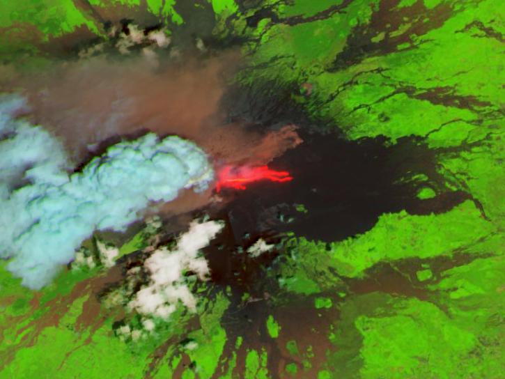
Harmonized Landsat Sentinel-2 (HLS) image captured on August 30, 2025, by the OLI instrument aboard the Landsat 8 platform.
Worldview Image of the Week
Sept. 4, 2025
SHOWING 8 OF 57