We are in the process of migrating all NASA Earth science data sites into Earthdata from now until end of 2026. Not all NASA Earth science data and resources will appear here until then. Thank you for your patience as we make this transition.
Read about the Web Unification Project
Environmental Governance/Management News
Articles, resources, and announcements from Environmental Governance/Management.

NASA Earth science data are being used in Africa’s Sahel region and across the continent to help track, study, and manage fires.
Feature Article
Nov. 16, 2022

Image captured on Nov 4, 2022, by the MSI instrument aboard the ESA (European Space Agency) Sentinel-2A and -2B satellites.
Worldview Image of the Week
Nov. 8, 2022
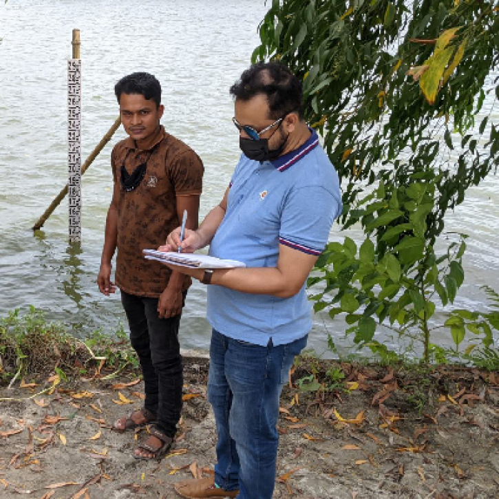
NASA satellite data and citizen scientists are giving the Bangladesh government a better understanding of the country's surface water storage.
Feature Article
Oct. 19, 2022
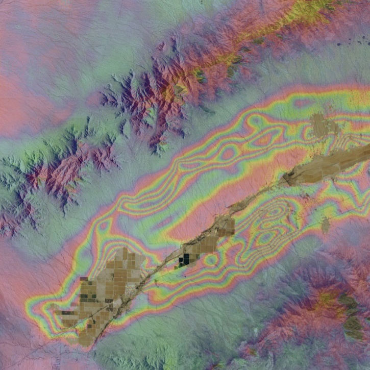
When the Arizona Department of Water Resources lost valuable synthetic aperture radar (SAR) data, OpenSARLab provided a solution.
Feature Article
Oct. 18, 2022

Data from NASA’s PO.DAAC help scientists like Dr. Jida Wang monitor the state of surface water resources around the globe.
Data User Story
Sept. 29, 2022
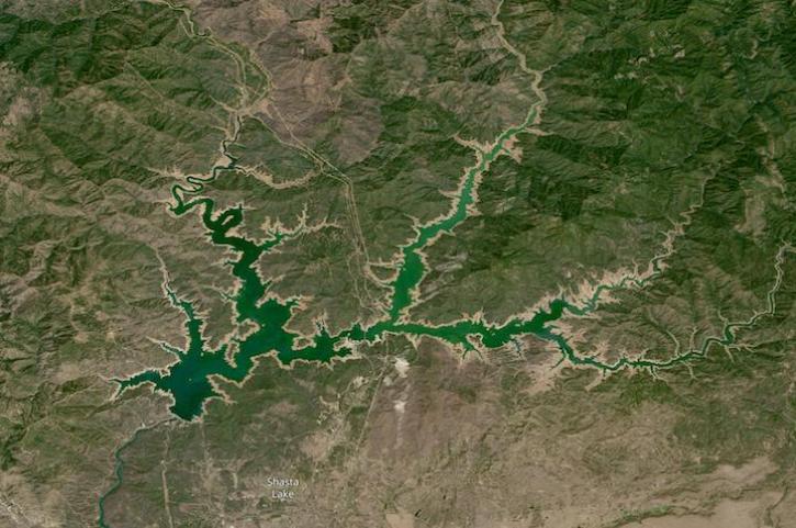
Image captured on Aug 14, 2022 by the OLI-2 instrument aboard the Landsat 9 satellite.
Worldview Image of the Week
Aug. 17, 2022

Data from NASA’s SEDAC help Thomas Parris assess the impact of water stress on agriculture, industries, and people around the globe.
Data User Story
June 30, 2022

Launched September 27, Landsat 9 will provide a high-quality and reliable stream of land imaging data for the next 10-plus years.
Feature Article
Jan. 31, 2022
SHOWING 8 OF 57